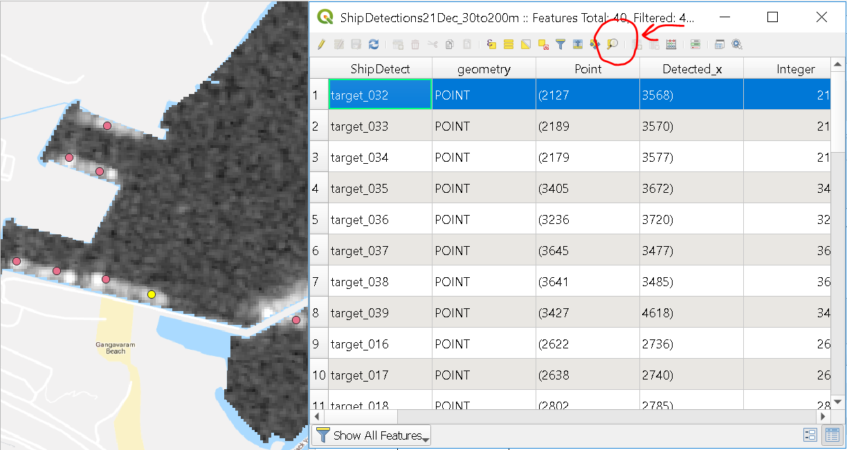
1). Zoom map to the selected row from attributes table. An example from QGIS is as below. I’ve selected a point from the attribute table and there’s an option to zoom in to that on the shapefile (shown in yellow)
2)Sometimes it’s hard to see the “white cross marks” from the point shapefiles due to the image colors in the background. Are there options to enhance/modify symbology, change colour etc
Regards,