How to prepare Sentinel-1 images stack for PSI/SBAS in SNAP

I used snap6.0 to prepare stamps.My chain:read,split,apply orbit,backgeocoding,deburst,and interforgram formation,stamps out.But i got an unexpected result after interforgram.the intensity image were almost black.i did’n know where is wrong .wish reply@FeiLiu@ABraun@ katherine

the dark intensity image is fine. I asked the same question here and mengdahl gave an answer: TopoPhaseRemoval and stack

thankyou for hlep me.but now i met another issue is that backgeocoding six splited-orbited dim file,why only the master one is ok,other slave i ,q,intensity image are all empty.wish help @ABraun@lveci. Much appreciate

1 Like

Yeah. This problem happening everywhere.

how did you solve it?can share it.much thaks.

I re-applied SNAP steps (split/orbit/back geocoding/deburst/subset/interferogram formation/export) with new images. And still i find 0 PS pixel (“PS_SELECT: 0 ps selected after re-estimation of coherence”) when i run stamps ( version 3.3b1 under Ubuntu)

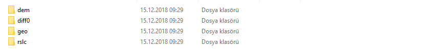
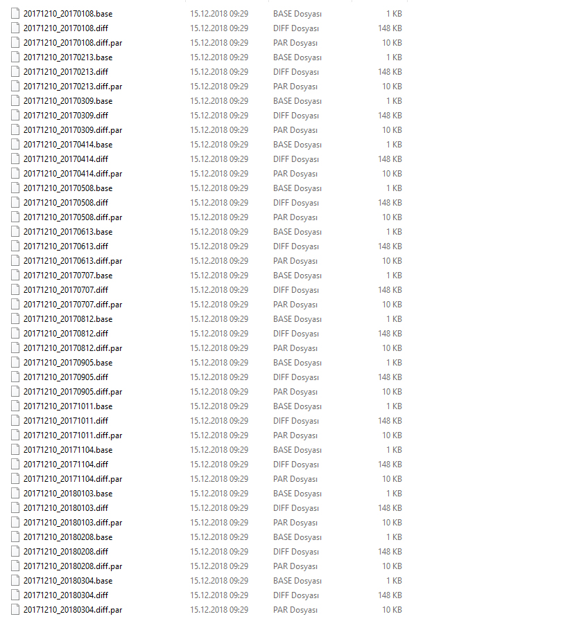
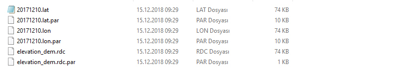
I shared SNAP export screenshots and the original files with link below.

Stamps export files

Is there any problem until this stage? Thank you.

your files look extremely small (150 kb). How large is your study area?

Nearly 0.9x0.8 km. I also enlarged study area but nothing has changed.

Area.kml (1.4 KB)

your area (besides that it is very small) rarely has any suitable permanent targets, given that the original footprint of Sentinel-1 SLC products is 3x22 meters (range and azimuth). The longer your time-series, the smaller the chance to capture PS which are present throughout all images. You are observing almost 2 years.

To get more PS, you can:

  • increase the amplitude dispersion to 0.42 for mt_prep
  • have a larger area
  • reduce the time to one year for a start

Thank you for your suggestions Andreas. I will try as your said and write here the results. Best wishes.

Hi Andreas,
I reduced the time to one year, enlarged area and increased the amplitude dispersion to 0.42. It worked very well and I found 5-6 PS pixels in the study area. Thank you (:

In addition, to find more PS pixels in the study area, do you suggest any other specific hint?

how many images do you use within this year?

10 images between 2018.03.04-2018.12.05.

are these all available? Sometimes it is helpful to use denser image series to identify more PS.

I downloaded and used 10 of images. So, yes there are available. I will try the denser image series.

Hello, thank you very much for providing the step by step summary. however the link you provided seems broken. could you please provide the new link?

I had the same problem. Snap created an extra layer in my backgeocoded stack. I manually removed it and saved the layer. Problem solved

Hi everyone
To do my Stamps processing, I encountered the following error.
Please advise me!!

Please inform me steps after export from SNAP. I have below folders.
Should I merge them? where should locate them?

I have got the .csv file after the manipulate,but still i am confused to the csv chart composite, for example
image
i want to know that the dispacement in the line D 、E\ F and so on descrips the accumulation displacement or the reference displacement ?and if it is a reference displacement ,what is the date that it is compared to ?a master sar date? i just want to compare the dispalcement to levelling data

My attempts to open a CSV file in QGIS are documented here: StaMPS-Visualizer, SNAP-StaMPS Workflow

thho explained it very well what the different columns and lines represent.

1 Like