Dear all,
I have made the band of “layoverShadowMask” during the Terrain Correction.
In SNAP tool, I can see the different area of “layover” and “Shadow”.
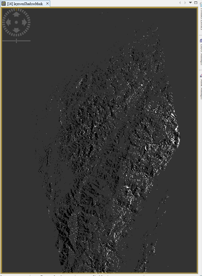
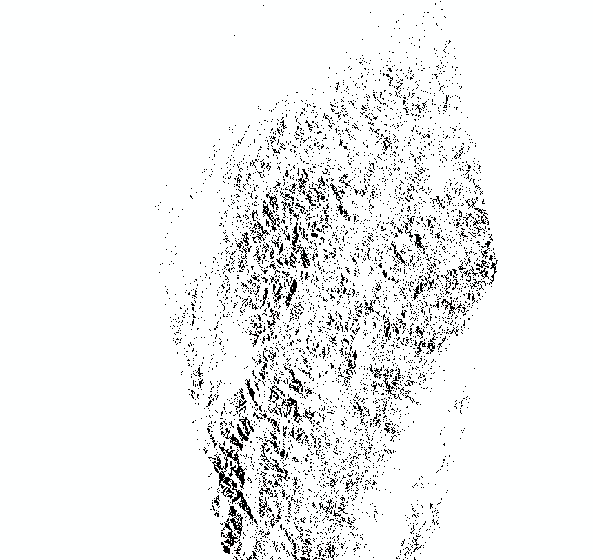
But when I opened it in the ArcMap, the pixel value all become “1”. So I can not distinguish the areas effected by layover or shadow. I want to use different color to indicate these two areas.
Could anyone help me or give me some directions to try? Thank you very much!