hello everyone,
I use snap 5.0 in python and ui,and my computer system is macos with 16G memories.
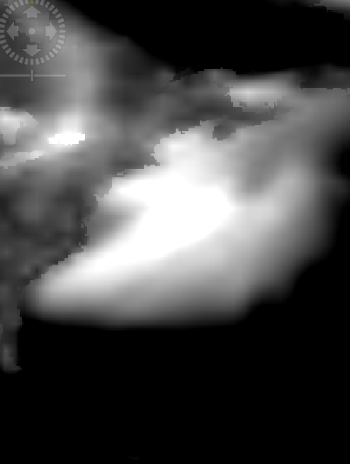
I downloaded some wind product from ecmwf, like this,
I want to subset it.
I first used python to do it, the code is flowing,
files = ProductIO.readProduct(‘./12.dim’)
w = “POLYGON((-72.80000305175781 42.89230728149414, -54.93846130371094 42.89230728149414, -54.93846130371094 26.69230842590332, -72.80000305175781 26.69230842590332, -72.80000305175781 42.89230728149414, -72.80000305175781 42.89230728149414))”
wkt = wktreader()
geometries = wkt.read(w)
subop = subsetop()
subop.setParameterDefaultValues()
subop.setSourceProduct(obj)
subop.setGeoRegion(geometries)
subop.setCopyMetadata(True)
dd = subop.getTargetProduct()
ProductIO.writeProduct(dd, ‘13’,‘BEAM-DIMAP’)
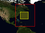
the position of the polygon and the image has the relation in flowing:
there is no error, and I got the target file.
Importance, there are no bands. In other words, I got the file, but without images.
I tried some else files, like images from st1-A. The code work out.
I find some answer in forum, like this,http://forum.step.esa.int/t/snappy-subsetting-problems-for-s3a-data/5770/5?u=ycangus.it didn’t work. When I don’t set the parameter ‘setRegion’, I can get all images.
After that, I tried the snap ui.
When I click subset, there is no response.
Then , I built a graph in snap ui.
there is some problem, when I subset in graph with pixel, it can works. But when I subset in geographic, I can’t get the file without any error.
dose anyone give me a help,
waiting online,
Thanks sincerely,