Hello!
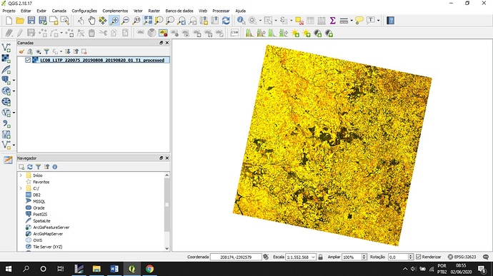
I am processing Landsat-8 (Level 1) images and I made the atmospheric correction using iCOR plugin, with default parameters. I obtained a processed image completely black. I opened this image in QGIS and I did a band combination 432, receiving the image below.
2020-06-04T03:00:00ZI opened the bands one by one and I saw that the interval of each band was very short, very different of original image’s interval.
What could have happened?
In the case of some parameter configuration, what can I do?
Thanks for you attention!
