Dear fans of intefereometry
I have successfully modelled several earthquakes using Snap and Sendinel satellite data.
This has confermed for me that workflow that proposed here is valid and useful. 
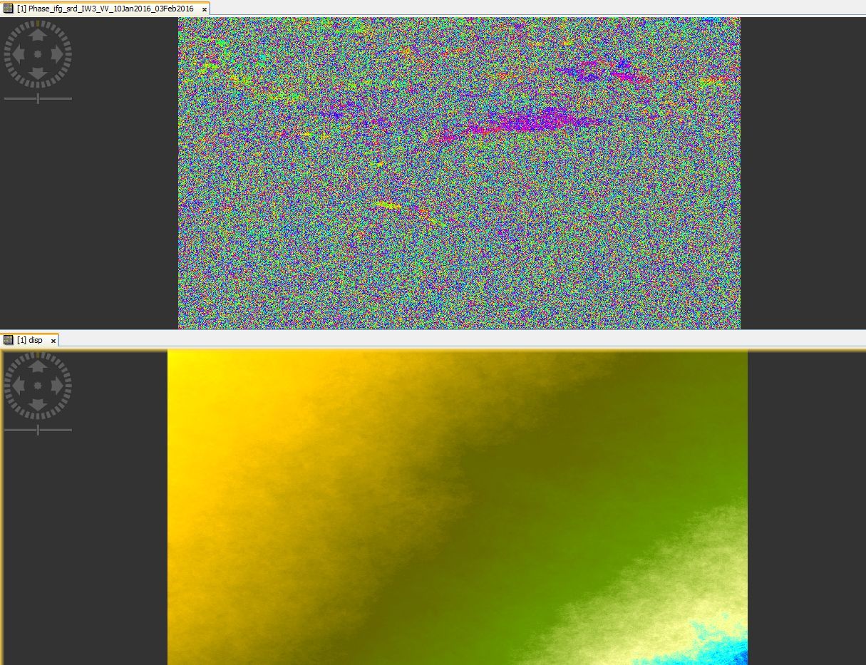
So I tried to use same workflow on my Motherland there more than 50% is coverd by forest and 30% by swamps.
And problems are coming as expected. First, the intefereograms are not so beautiful any more. In picture up is seen filtered displacement intefereogram(scene is ~20x30km). After unwraping it looks like above. ther displacements are near half meter. This is not rear, this is common result. And for my geodetical mind say that this is wrong. But why? Are presented intefereogram worth of unwraping? If look the intefereogram then quite homogenius phase areas are settlements there coherentce are good >0.8. other are pure Nature. So I hav bit lost  that to do
Do you have some ideas