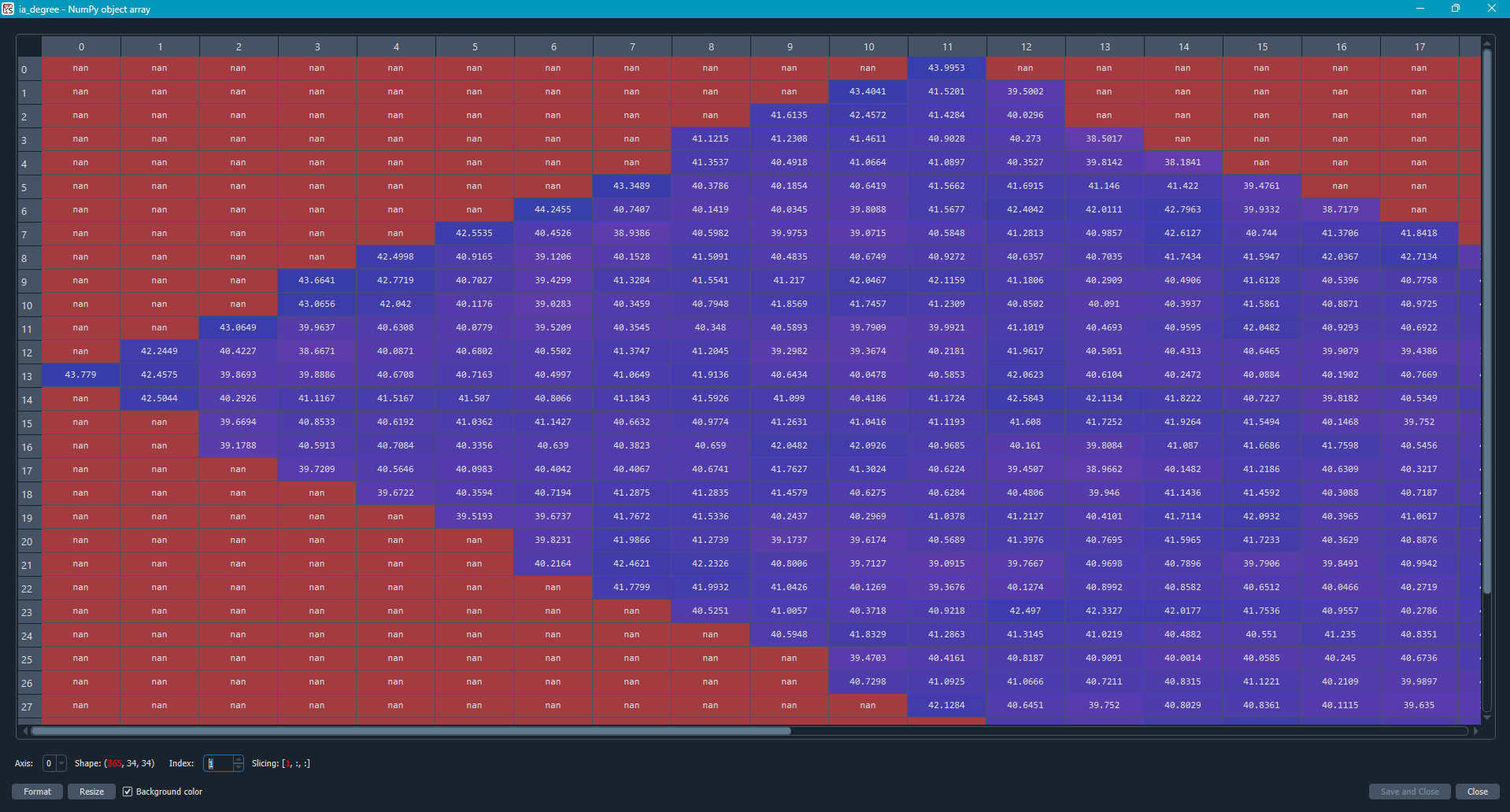
I generate this incidence angle from SNAP and opened it in python. Is this normal to have this variation of incidence angle? The area is a field scale, so it is about 5.547 ha.
Thanks in advance
Thanks in advance
Please add more context. Which products did you start with, what operations did you do in SNAP and how did you export the incidence angles that you are showing here?
With just a screenshot of a Python array, nobody can comment on whether what you see is expected or not.
Seems normal to me. The pixels that are considerably different from bordering pixels most probably because of local topography, structures. I would suggest to overlay the image with DEM and slope/aspect maps produced from DEM.