How new land cover data could be incorporated?; such as those from the GlobeLand30 (2000-2010-2020), of 30 m resolution and of 100 m resolution (https://lcviewer.vito.be/ ) for the years 2015 to 2019. It is very useful to have the information updated and to be able to make the subset according to the image analyzed within the SNAP.
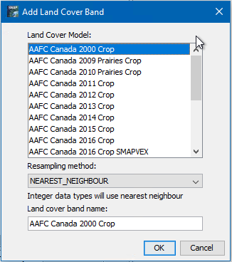
You are referring to the ‘Add Landcover Band’ function, right?
The add new data maps here, the source code needs to be changed, there is now public extension point available.
But in general you can use any landcover map and collocate it with your data in SNAP.
Exactly. Thank you very much for the quick answer. I have incorporated the data of the aforementioned websites in the aux data folder. But I don’t know how to change the codes to make them work.
In general a LandCoverModelDescriptor like this one must be implemented:
For general guidance on the development with SNAP, take a look at our wiki:
SNAP development - SNAP - SNAP Wiki (atlassian.net)
I have just seen there is a public extension point.
Very briefly what needs to be done:
One could provide new maps by implementing (Abstract)LandCoverModelDescriptor and registering the implementation in META-INF/services/org.esa.snap.landcover.dataio.LandCoverModelDescriptor.
1 Like
Thanks a lot, Marco. Now it is clearer to me how to do it. I will take into account all the suggestions and I will try.
Best regards,
Hector
Feel free to ask again.
You can provide your own plugin ( SNAP Community Plugins – STEP (esa.int)) or you can provide us the code (Maybe a pull-request) and then it can be integrated into the SNAP Core.
It is very difficult for me to implement it due to my ignorance in the handling and creation of the codes. I am not familiar with github.com. But I will investigate how to do it.