I found thank you 
so did it work?
unfortunately no 
after I did snaphu import I get all bands just like on your picture above. The next step is phase to displacement. In this step I before use parameter Unw_Phase… because I have only that band, but now when I have all this bands just like on your picture did I also need use Unw_Phase band or some other band?
you’re right. You can
- terrain correct the displacement raster
- terrain correct the product with coherence
- Collocate / stack both products (1+2)
- Apply the valid pixel expression in the stacked product based on the coherence
after I did Range Doppler terrain correction for the product with coherence I get this product with coherence band which can’t be display???
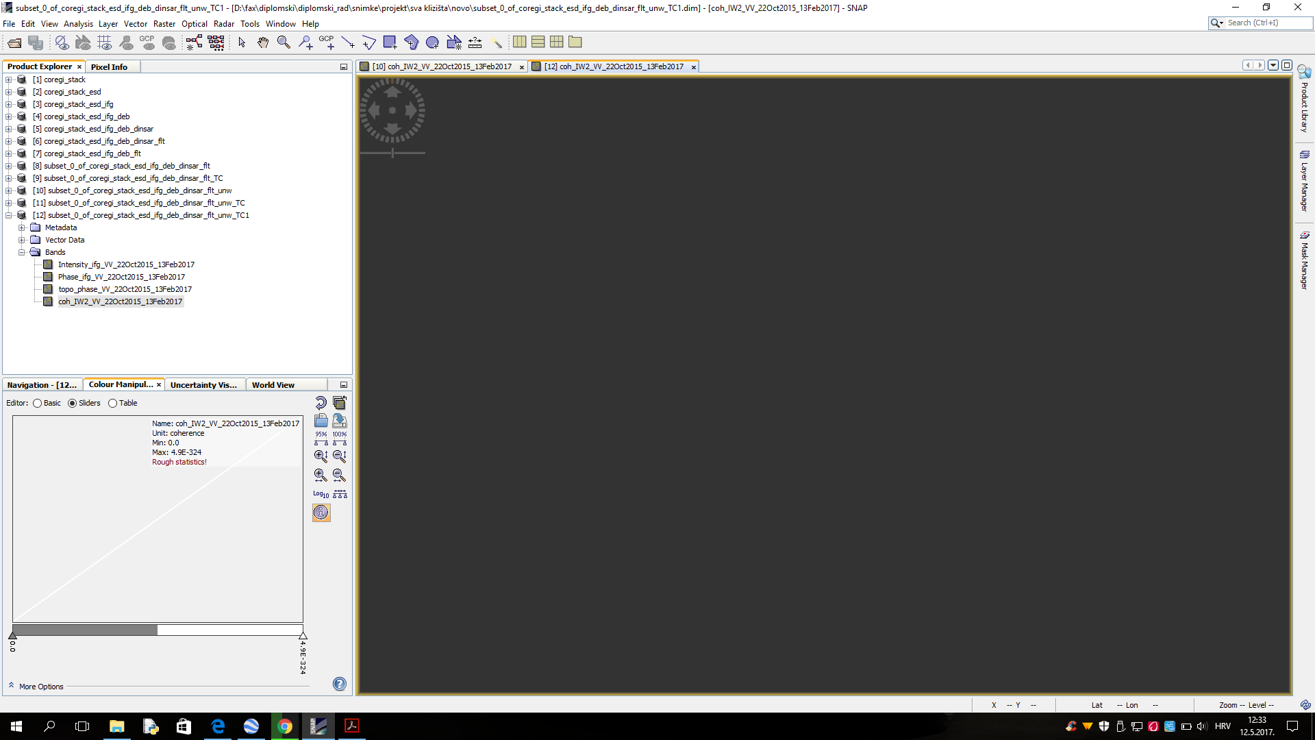
can the other bands be displayed?
no, nothing can be displayed 
then something went wrong with the terrain correction. Did you choose a correct DEM? Valid projection?
I’d try again, there should be a valid result.
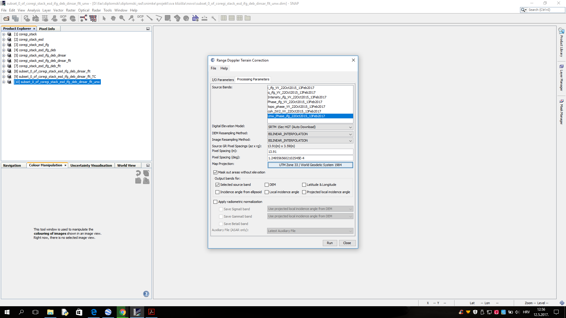
can’t you select unwrapped phase AND coherence and afterwards perform phase to elevation?
seems that phase to elevation looses the coherence band. So now collocate product 11 and 12 to get one product with both information. Then you can mask out uncertain displacement values by coherence.
However, your pattern looks suspicious somehow
I know 
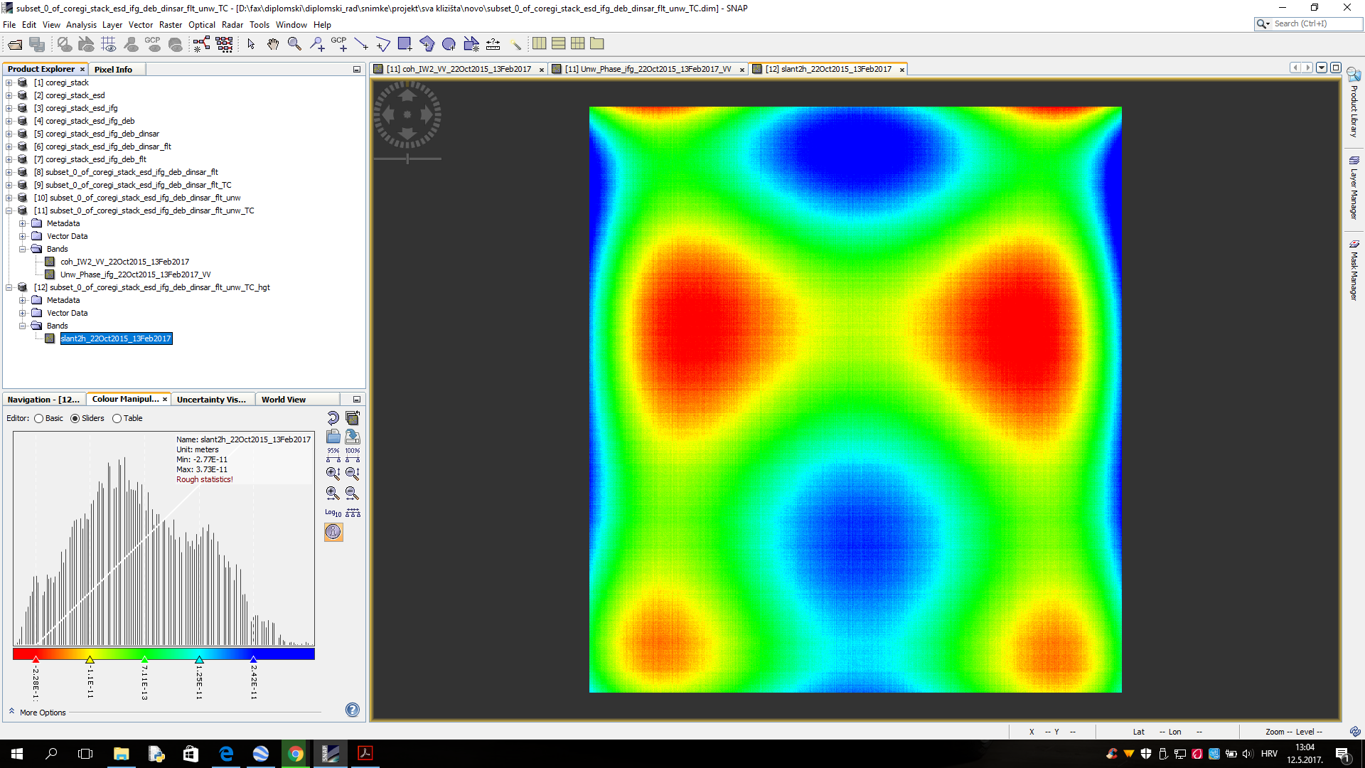
After all, I got this as result
on the left side are values of displacements
I don’t know how much is this realistic (temporal gap between images is 16 months)??
great to see it (technically) worked.
About the displacement pattern: As it is highly regular there must be some bias in it. I would try it with another image pair, maybe with a smaller time increment and see if there are differences.
By the way: Did you use “Phase to elevation” or “Phase to displacement”? Because the latter is important for your case and the screenshot says “slant2h” and I was just wondering.
Ok, thank you for help I will try with other image pair to see if there are some differences
I used Phase to displacement, I just try to see what happens with Phase to elevation, but in calculating I use Phase to displacement
In instruction Sentinel-1 TOPS Interferometry by Michael Foumelis nothing was said about mask out pixels? Also I notice that in their example values of displacement increase with height?? and they use SRTM 3Sec for DEM?
DEMs of higher resolution only improve quality.
You can also leave out the masking but values at pixels with small coherence are worthless.
Ok, huge thanks for advise and help
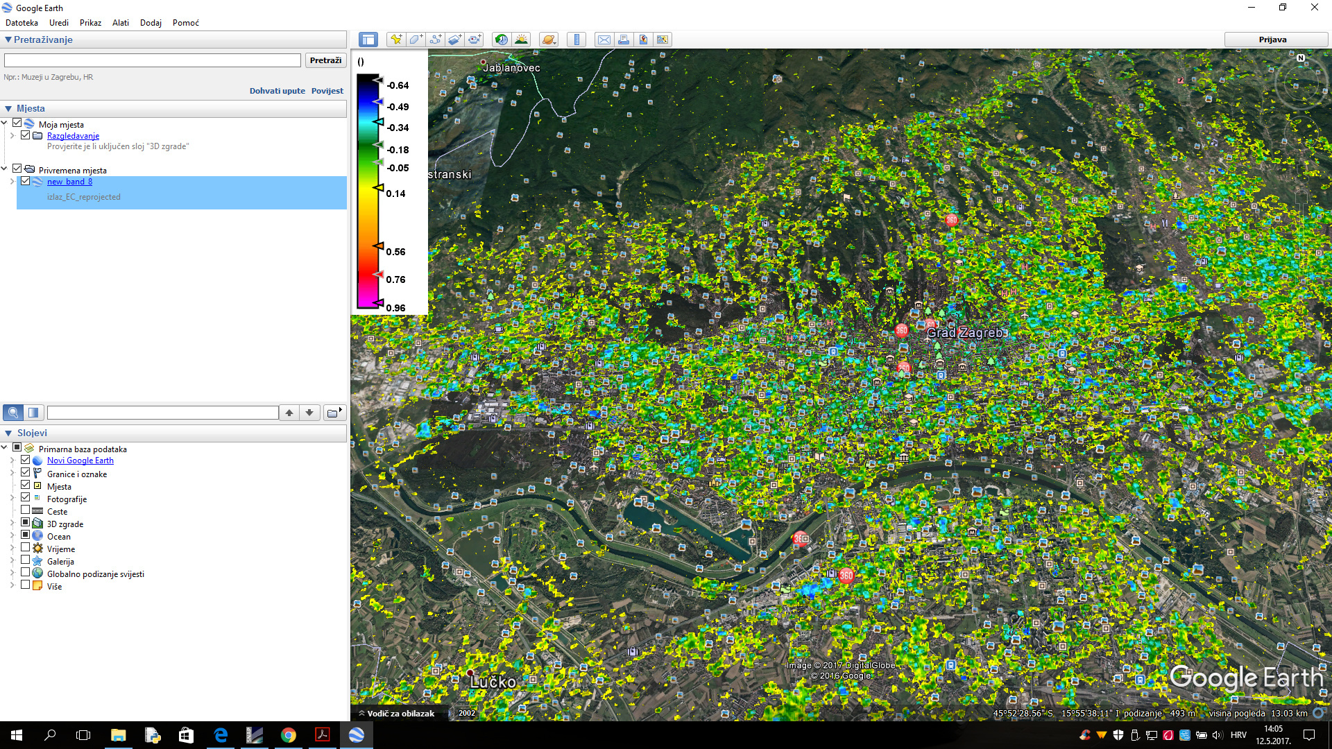
I tried with a new pair of images, but the result was similar. Always is problem the coherence which is too small, most of the pixels have coherence <0.4 and because of that I get as result display in Google Earth which doesn’t cover complite area of interest