hello all,
recently I generated an interferogram corresponding to the displacement of a land area located in Paris, I did exactly the same procedures as provided in the tutorial concerning interferometry. the output product corresponding to the displacement showed a 5 cm displacement and this not exact i.e. there shouldn’t be such displacement. it worth mentioning that DEM is automatically generated (no external DEM). can I say it is due to what DEM I am using?
other questions:
1- does it make any difference if I performed the ‘apply orbit file’ before ‘TOPS split’ or would affect my results?
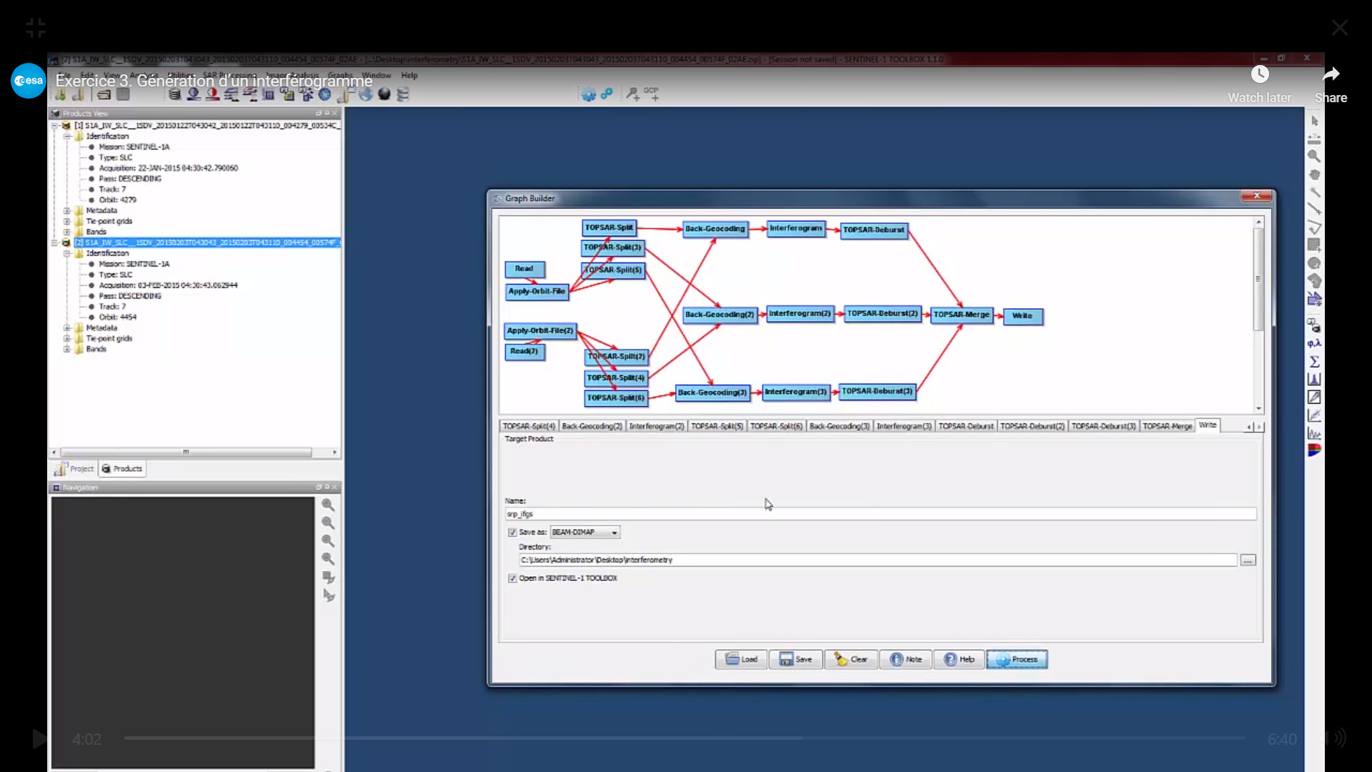
2- could such a graph give me better results regarding my problem or it has nothing to do with the displacement because actually my area of intereset is only 1 burst of IW2 and the rest are not needed?
thanks in advance!
DInSAR is not automatically giving absolute results. Incorrect results could be caused by phase noise or unwrapping errors.
If your result has a general offset, it is legit to subtract it in the band maths. Please check how it is done in this tutorial InSAR Displacement mapping with ERS data (correct for offsets)
I don’t think the DEM used for topographic phase removal has a larger impact, it is not used as an absolute height reference.
1 Like