Hi dears,
it’s a minor issue here, but it makes it not so nice when preesenting results:
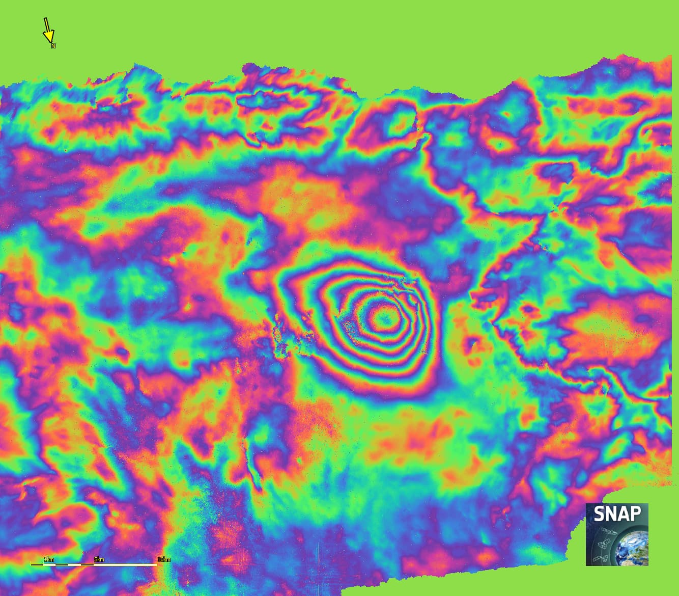
My DinSAR looks like that just before Range Doppler Terrain Correction operator
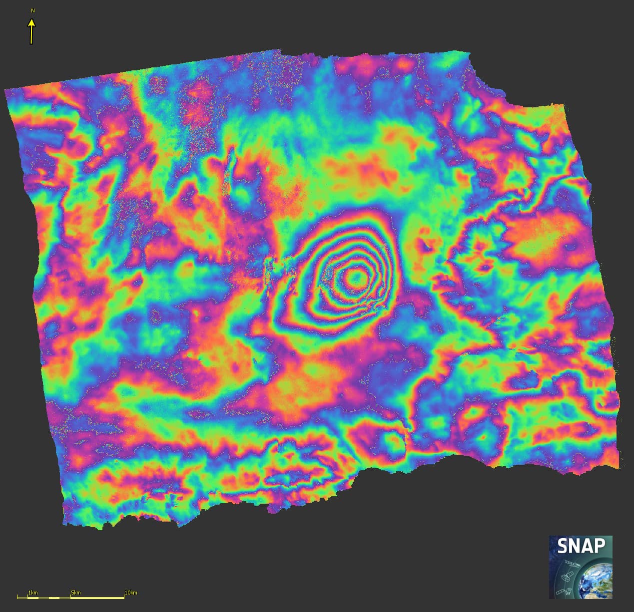
And here after the Orthorectification (RD-TC operator):
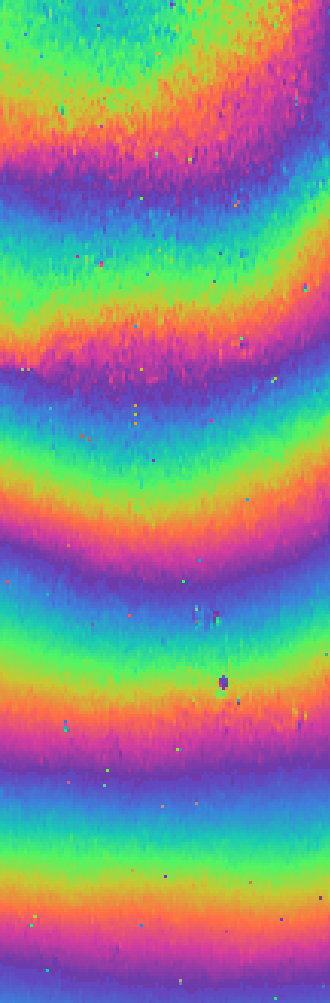
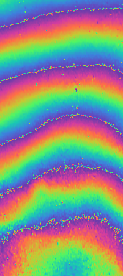
Anyone can tell from what are comming those wrong pixels at the fringe borders ?
Before TC
After TC
Thanks a lot!
Ari