Is there a database of the footprints of all acquired Sentinel-1 scenes? Or is there a place to download metadata for all captured scenes? I know I can extract the XY extent from the manifest.safe file
All Sentinel-1 scenes are stored on the HPC I use. I’m working on a data selection workflow, and there seems to be no straightforward way of selecting multiple scenes with the same geometry
Correct me if I’m wrong, but there is no database that stores just the extents. You will have to programmatically extract it and build it yourself. You can connect to the API of ASF or Copernicus Dataspace and download the metadata.
I’ve done it for Sentinel-1 SLC data. Using this, you could theoretically build a database and filter using a spatial overlap.
1 Like
You can also try to use the CDSE Sentinel-1 SLC burst catalog and query what you need through https requests:
https://documentation.dataspace.copernicus.eu/APIs/Sentinel-1%20SLC%20Burst.html
1 Like
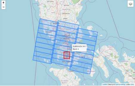
I don’t know if it answers your question, but on SAR MPC website you can find “Burst ID maps”, a map of footprints of TOPSAR bursts acquired by Sentinel-1. It’s not an archive of acquisitions in time, instead it’s the set of all possible footprints that can be acquired (and that repeat themselves nominally), labelled by increasing IDs that reset every 12-day cycle