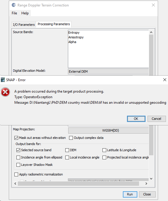
I’m working with Sentinel-1 dual-pol data, and I have geocoded images succesfully with using a 30m DEM in SNAP 6.0. After I upgraded it to the latest 8.0, I keep getting the warning as shown in the image below:
It seems like the format of DEM is not identified by the terrain correction toolbox in SNAP 8.0.
I have geotiff and .img format of the DEM and either of them works in SNAP 6.0. My previous products that can be geocoded with using the external file in 6.0 cannot be geographically corrected in 8.0 with the same external file.
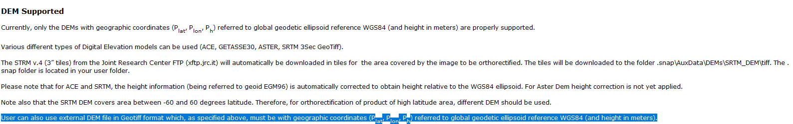
Get it sorted by assigning WGS84 to DEM.tif as follows in the Help:
Note: UTM WGS84 dosen’t wotk. It can make the operation run but result in empty bands.
WGS84 represents geographic coordinates on a sphere, stored in latitude and longitude, SNAP needs this for external DEMs
WGS84 in combination with UTM is a projected coordinate system stored in meters, which is only valid for a defined area of the globe (defined by the zone number). This is good for mapping, but SNAP doesn’t like external DEMs in UTM. The WGS84 in the name might be a bit misleading, but it only refers to the ellipsoid.