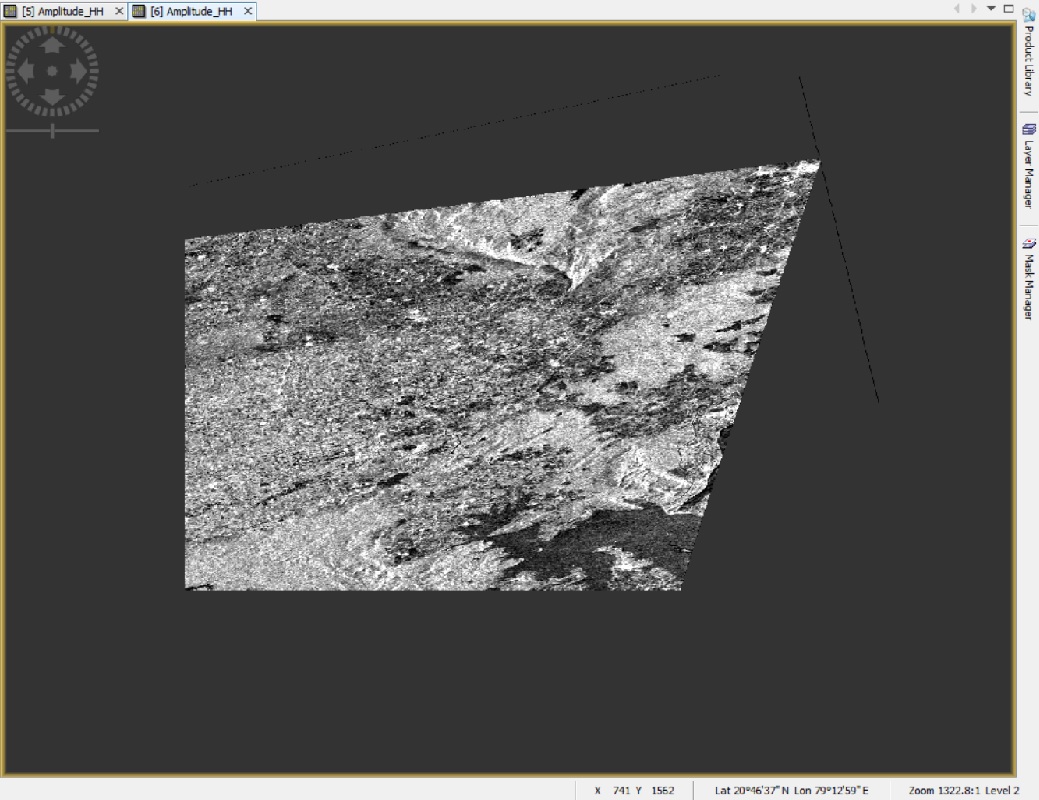
Hi. we are trying to process NovaSAR data using SNAP Toolbox after adding the NovaSAR reader plugin in it. We are successfully able to read the product by using the .xml file. Further we are able to successfully perform speckle filtering (image attached) on the raw calibrated product as downloaded.
Issue which we are facing is that when we are to trying to perform Terrain Correction on the speckle filtered image, the resulting image is totally distorted (as shown in fig.)
Also one more issue is there after performing the speckle filtering on the raw data, the product generated (.img file) looses its georeferencing when we try to open the speckle filtered image in arcmap.
Orthorectification is just another name for terrain correction. Is that parameter in the original product metadata? If not, perhaps the product reader in SNAP is setting it incorrectly.
In the original raw product provided to us, there is a metadata.xml file present which doesn’t have any information regarding orthorectification/terrain correction.
Can you ask the data provider? Obviously that product is not longer a flat slant-range image but it has been georeferenced, probably with a DEM (orthorectification).
Also while performing speckle filtering in SNAP on the raw data, the product generated (.img file) looses its georeferencing when we try to open the speckle filtered image in arcmap. Why its happening.
Actually I have not put the question correctly. While performing speckle filtering on raw data (loaded using .xml file) in SNAP I am keeping the output product data type as BEAM-DIMAP format. Subsequently the output folder (*.data) which is created contains “.img file” along with “.hdr file”. When I am trying to open this .img file in ArcMap, its showing the projection information is lost. Kindly suggest.