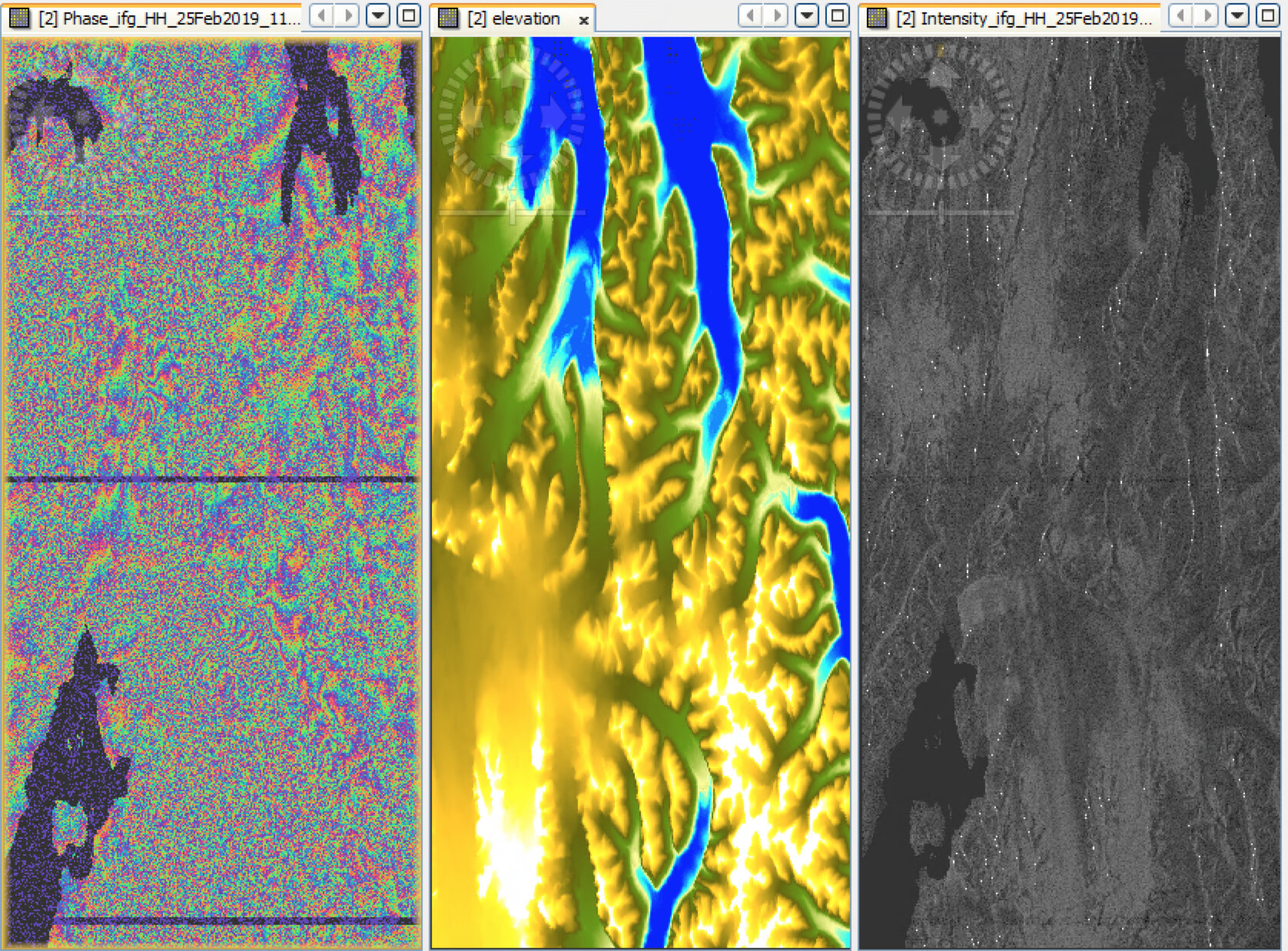
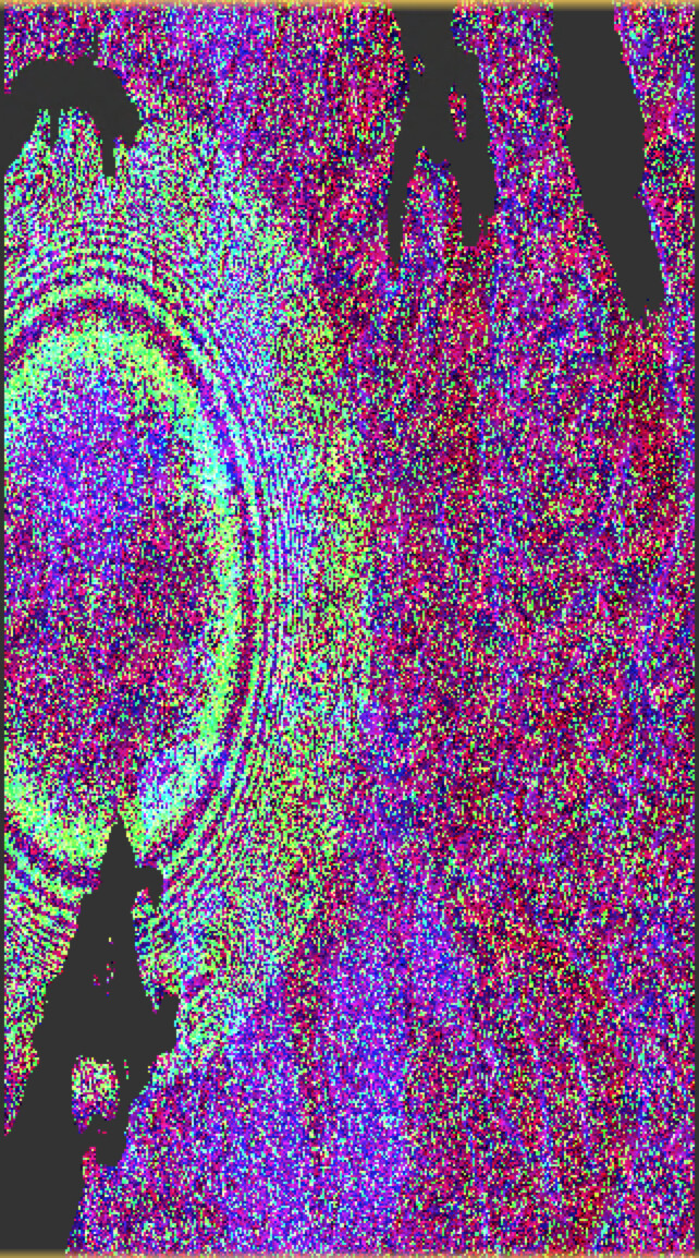
I am doing interferometry on a glacier in Svalbard, and therefore I have to use an external DEM that covers this region. I am currently using the arctic DEM, but I am having issues in the topographic phase removal step. The topography removed from the interferogram does not cover the same region as the interferogram (see the figure below).
The elevation band in the figure is the elevation band from TPR. I should have specified this.
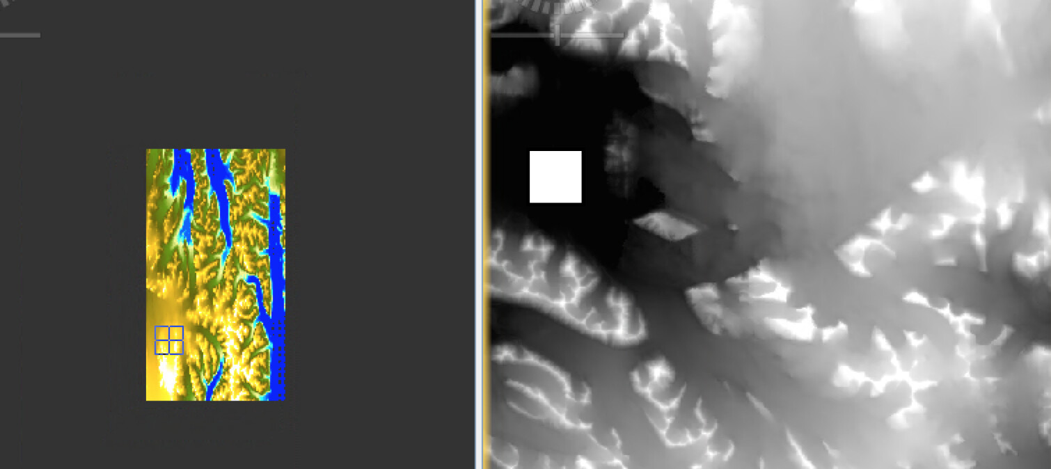
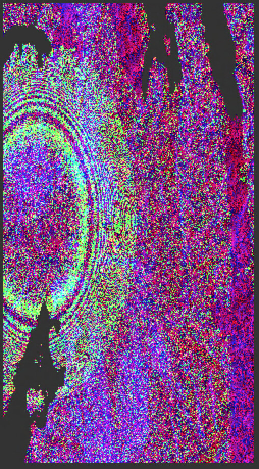
Yes, this looks different from the ArcticDEM. The marker in the elevation band is covering land, while this region in the ArcticDEM is ocean. The elevation band seems to be shifted in position from both the DEM used and the SAR images.
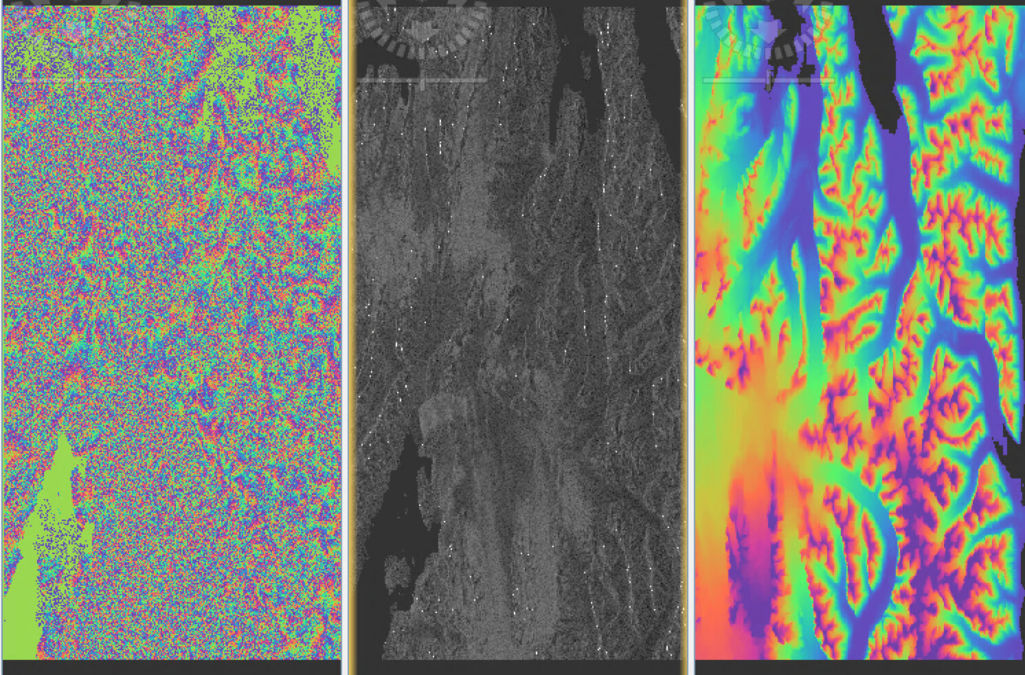
Which DEM was used here and does it look the same with a different DEM?
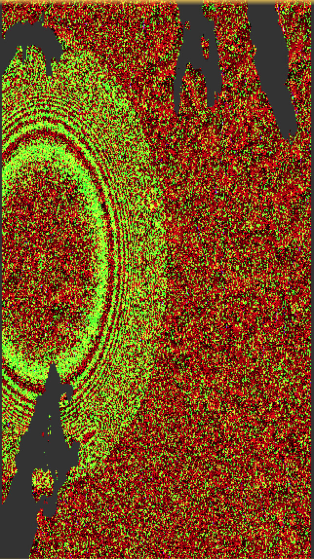
The contrast of blue is a bit low, maybe you can convert it to dB before the RGB so we can see if there is a shift between the there bands
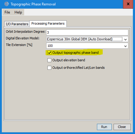
thank you - this does not seem right, I agree. Can you now please test how the Copernicus DEM looks like so that we can understand if the problem is related to the external DEM or generally affecting the TPR?
@trukar Why do you used ALOS data ? It is my opinion that L band is better with vegetated areas, but
in your case it is only ice, I guess, so S1 should fine.
It seems if the ArcticDEM and the Copernicus GLO-30 DEM give the same results, that the problem must be that the ALOS-2 data is not correctly registered to the DEM. What mode and processing level of ALOS-2 data are you using?
I noticed that the “geo_ref_system” is set to GRS80 in the metadata for ALOS-2. Does anyone know if this could be the reason why the topographic phase seems to cover a different area?
The ALOS-2 fine mode is SM3 and high-sensitive mode is SM2, and those have different range and azimuth sampling. I don’t think that the SNAP software can handle a mixed interferogram between SM2 and SM3 modes. The alos2App.py in ISCE2 can do the range and azimuth resampling to form interferograms between different ALOS-2 modes.
If you are mixing different modes, this likely explains why the topographic correction is in the wrong location.