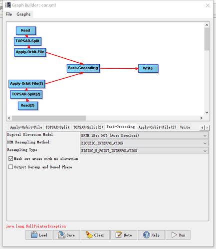
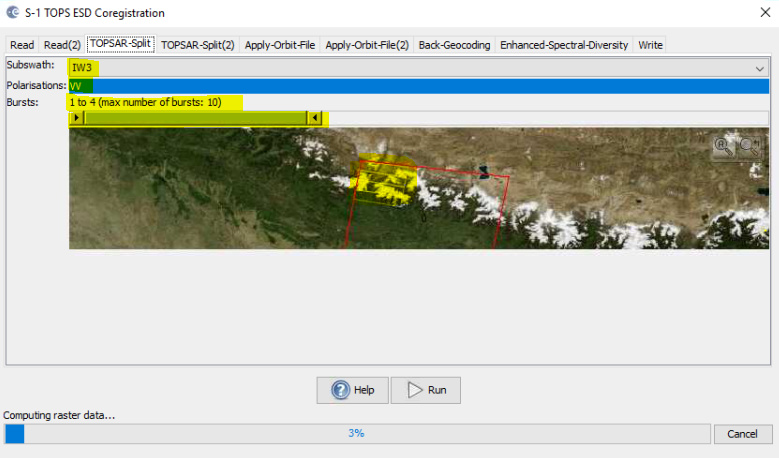
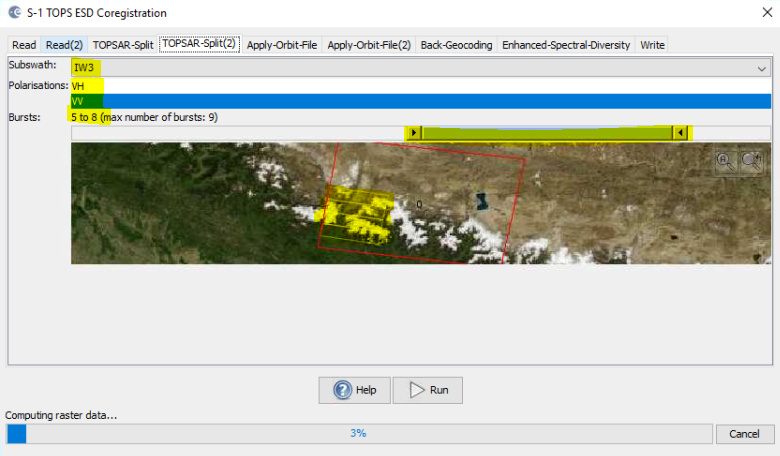
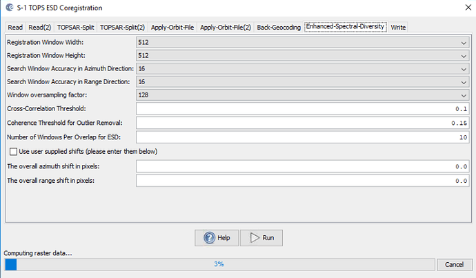
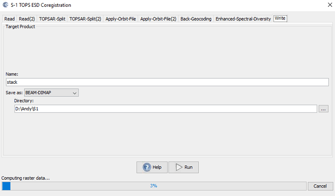
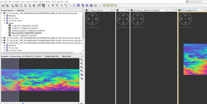
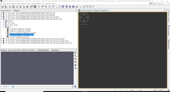
When i wanted to corregister the data,the error came…
How can i solve this problem?
please provide some more information on the data you used, at best their full product names.
The error message is quite generic and doesn’t tell anything about the error.
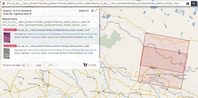
I used the SLC data for studying the deformation in Nepol earthquake ,They are ‘S1A_IW_SLC__1SSV_20150417T001852_20150417T001922_005516_0070C1_460B’and’S1A_IW_SLC__1SDV_20150429T001842_20150429T001909_005691_0074DC_1CA1’ , When i execute the operation in this graphy , the error jumped.
I used the SLC data for studying the deformation in Nepol earthquake ,They are ‘S1A_IW_SLC__1SSV_20150417T001852_20150417T001922_005516_0070C1_460B’and’S1A_IW_SLC__1SDV_20150429T001842_20150429T001909_005691_0074DC_1CA1’ , When i execute the operation in this graphy , the error jumped.
I see that the products are shifted along-track. Are you sure you selected the correct bursts? Ones that are contained in both images.
I’m not sure,I selected both IW2.And when i try to select IW1 or IW3, the error jumped,too
these are the sub-swaths, I mean the bursts of the corresponding swath. Have a look here:
As your images only partly overlap, they are different for each product.
Thank you!
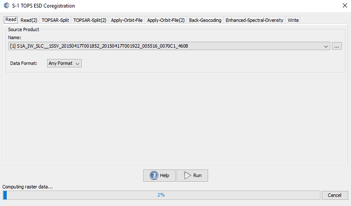
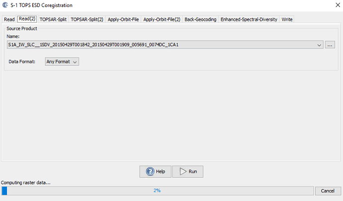
Did you consider S1 TOPS Coregistration? This allows you to control both the sub-swaths and the polarization (only select VV for the dual-pol scene)
result
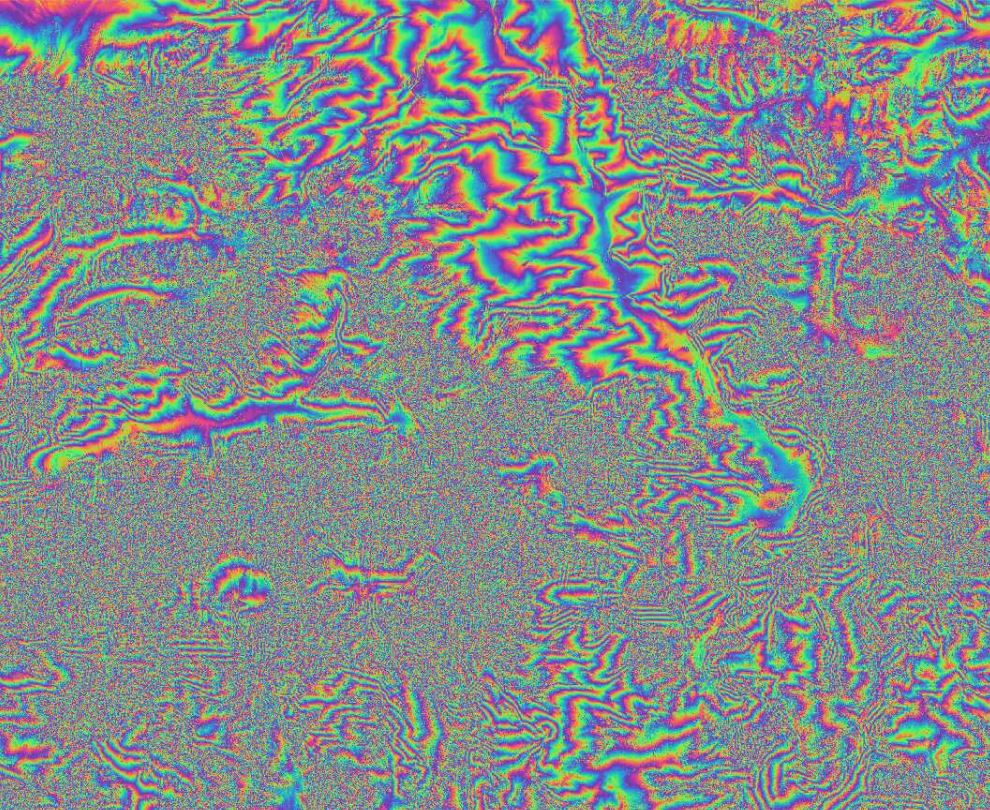
inteferogram and coherence
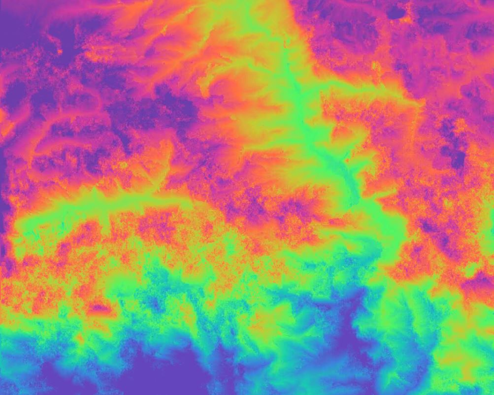
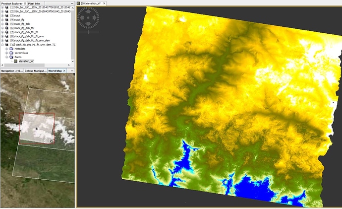
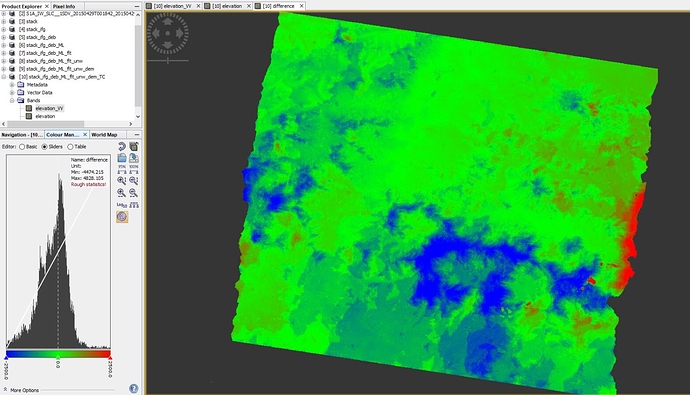
I was curious and played around with the data a bit:
after debursting, multi-looking and Goldstein filtering
after unwrapping
geocoded elevation:
difference to SRTM
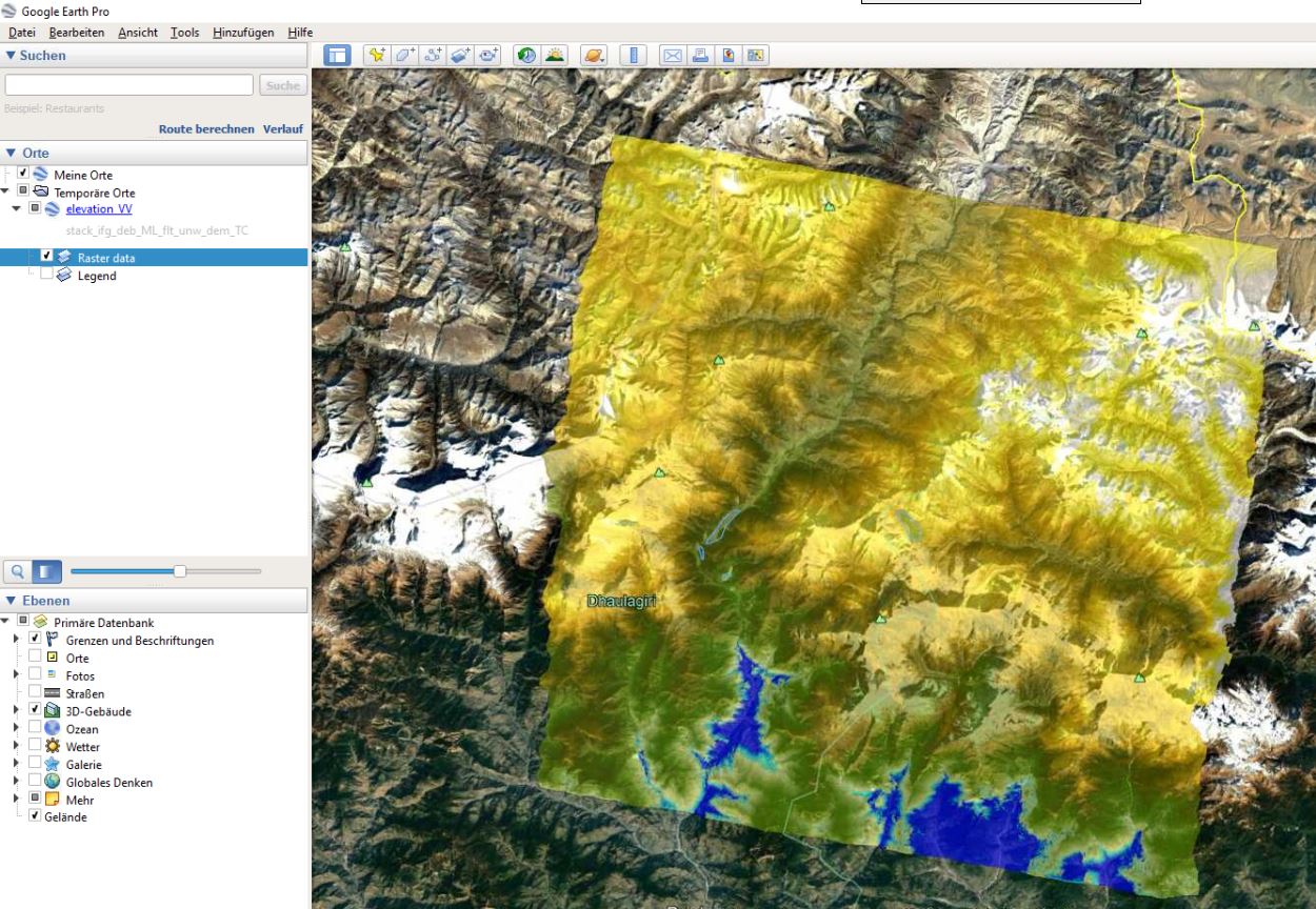
result in Google Earth
Thank you very much. I will try to do it. Sorry i am very stupid,i want to know why the phase cannot be viewable except the topo_phase.
Your professional ethics amazed me. Very thanks.
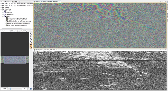
hard to say. Did you have a look at the interferogram? Does it look alright?
ok, then let’s go one step back. I advise to always check the result of each step before you proceed.
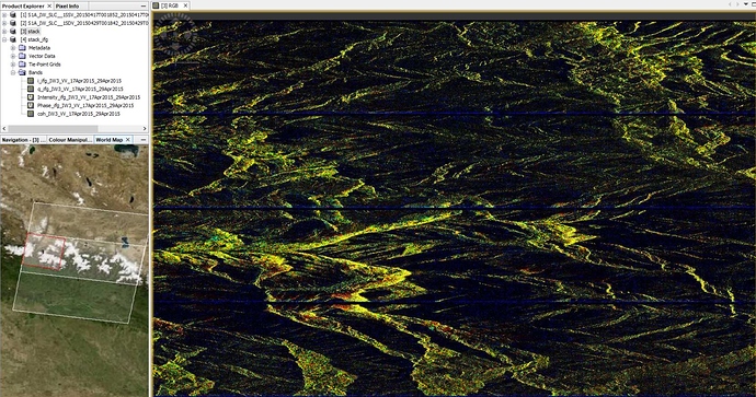
Was the coregistration successful? You can check with an RGB image as described in this post: Fault marking by InSAR Data and difference between SLC_1SSV and SLC_1SDV?
If both images are aligned well, the RGB should be predominantly yellow. If not, the coregistration failed and therefore, no interferogram could be computed.
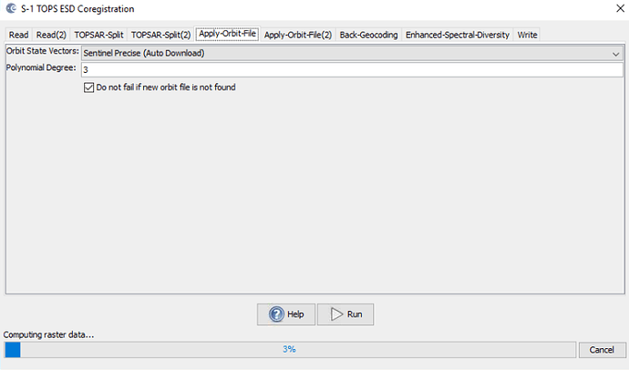
From your screenshots I see that you applied Orbit files and then performed coregistration.
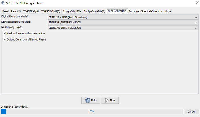
If you selec the S1 TOPS Coregistration module, all required steps are computed in one go. Use the parameters I showed in the screenshots above.
Ok.The coregistration failed… All right, start again…
don’t worry - nothing wrong with trial-and-error
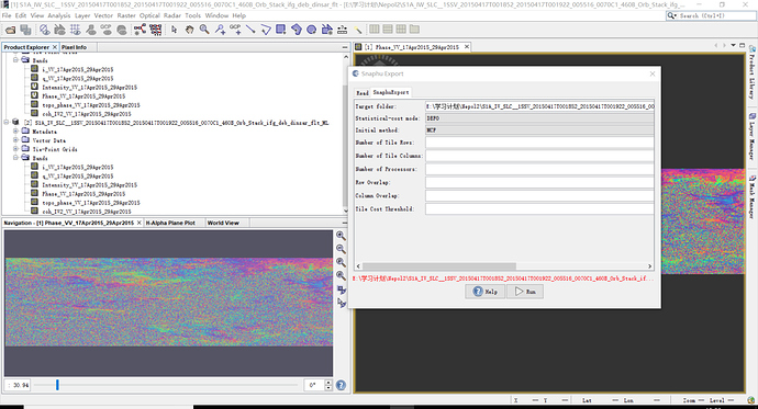
I get the phase aftering fiitering and muti-look now:smile:,Can you tell me how to operate the unwrapping step?
please see here: Snaphu Export
