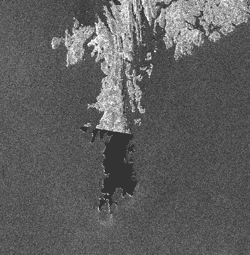
By default the land/sea mask uses the SRTM to mask out areas just because this is the resource that is already available. The SRTM is only available at latitudes of ± 60.
Alternatively, you could try unchecking “use SRTM” in which case the rough ACE 5 min is used or you could import your own shoreline as a shape file and select that.
any updates on this issue? I ran into the same problem with the Import vector operator executed on command line with either the Operator as well as a custom graph.
Just a follow on question - both mask types work ok for me now thanks, but i guess if you have an available shapefile then you should always use this? Or is a high res shapefile of the coast going to affect processing times. when compared with the SRTM
Hello! I need to mask out land in Sentinel images of high latitude (SRTM is not work). Please tell me where can I get a shapefile for Arctic islands and how to apply it with SNAP. I can’t find an answer