Landmasking too much

Hi everyone !

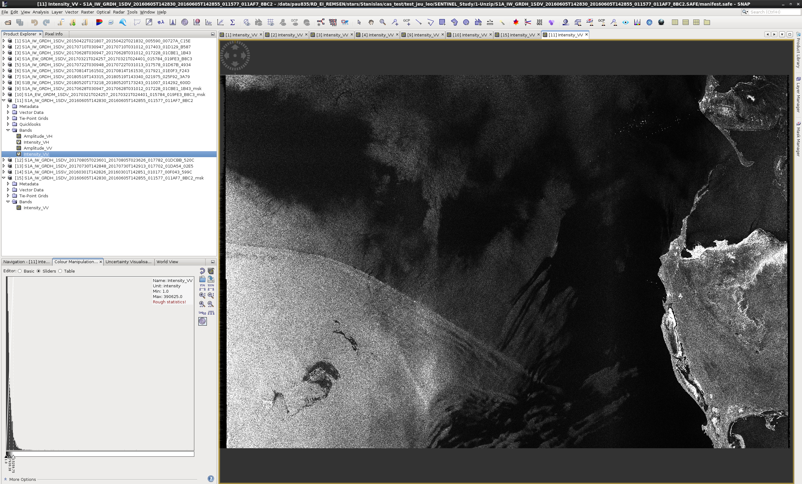
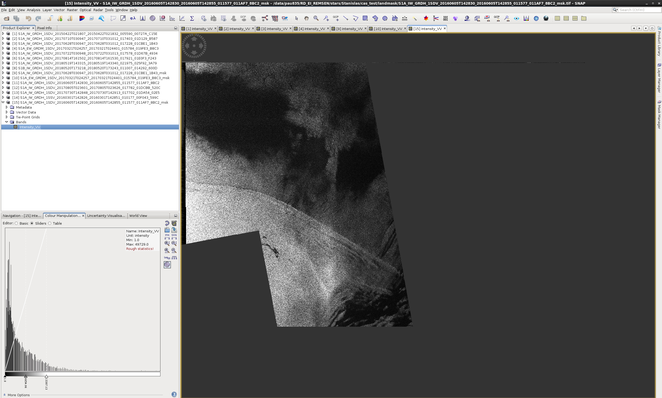
I have a problem processing a graph using landmask. I have some images for which when I apply landmask (using SRTM 3 Sec autodownload) on brut SENTINEL1 images, there is a big part of it which is cropped whereas it is not land. There an exemple with the brut image and the image after landmask :

It does not do it for every images but I have a set of images for which I have that problem.

My best regards,

Stan

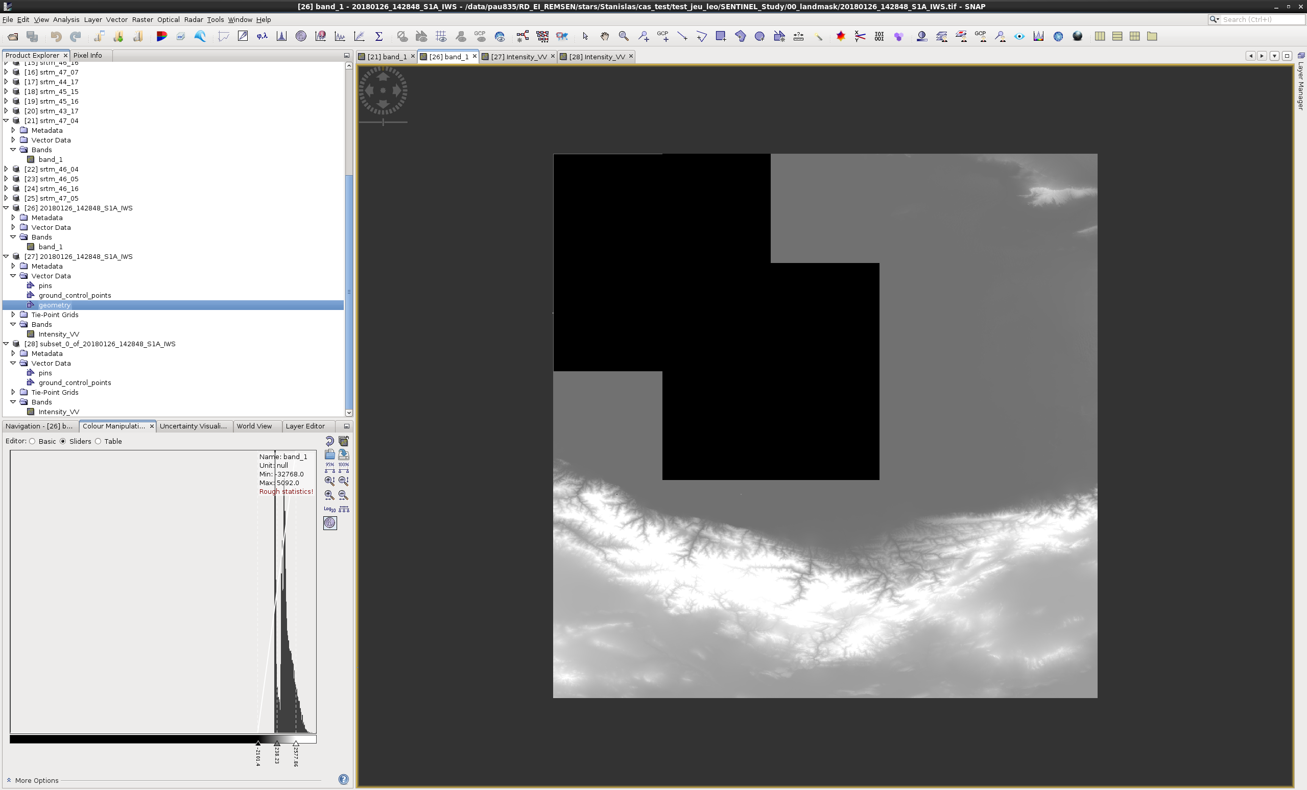
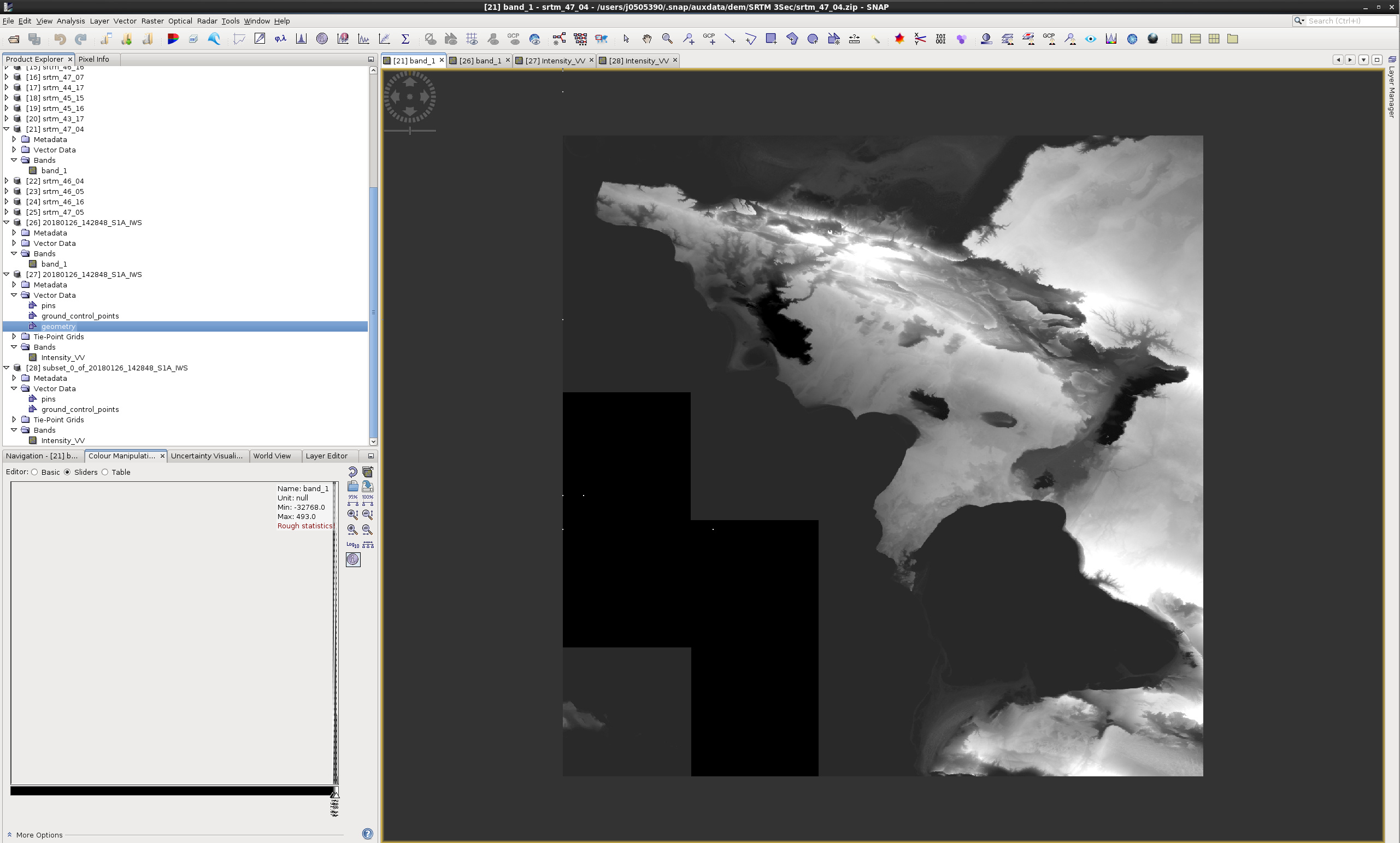
I think I know why the landmask is not working, I saw in the dem which were downloaded automatically that there are data missing in the area as we can see on these images :

So, do you have a file or a documentation or anything else which contains the coordinates of where the dem are lacking of data ?

My best regards,

Stan

I know SRTM are limited in latitudes but did not know about gaps. If you find your information, please share :slight_smile:

Is that over water? Away from the shore, there are no tiles over open water.