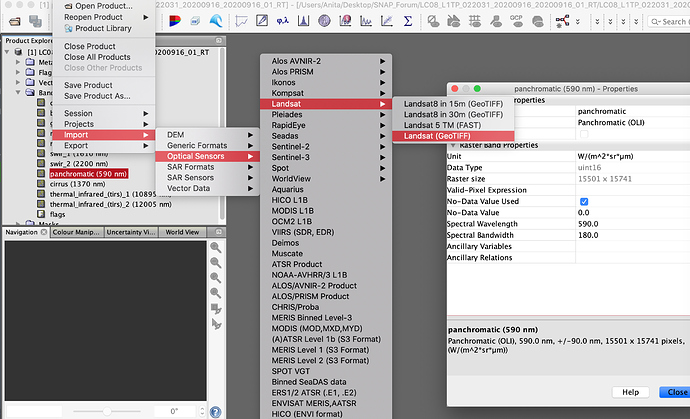
Hi, I have an answer about Landsat 8 visualization in SNAP. When I import the images, both as import Optical sensor and as MTL, and both opening them as RGB or as single bands, I see the spatial resolution for all bands is 30m. Since the bands have different resolution (from 15m to 100m the TIRS) I would like to know how this is explained.
I downloaded an OLI image from USGS and open it directly in SNAP with the GeoTIFF option. Spatial resolution per band seems to be ok.
Thank you. The thermal bands are resampled to 30 m!
Since they are originally 100 m resolution, I do not think is a big issue, but I am not sure what you need. You could resample them back if needed. By my experience I would say that any operation that you do with the images that involve several bands, would intrinsically need same resolution in all bands. Of course, it depends on your objectives.
Thank you, I asked because I was expecting a spatial resolution of 100 m for the thermal bands but I found they were 30 m when I opened in SNAP. Also if I open the thermal bands in Envi or Qgis I saw the same spatial resolution of 30 m. I think the reason can be this, also for Landsat8, even if it is not written here:
"Commercial software has difficulty aligning the 30 meter multispectral data of Landsats 4-7 with the dissimilar thermal pixel sizes. This forces users of the Landsat thermal band to resample data. To remedy this issue, the USGS will set the pixel size for all thermal data at 30 meters as of February 25, 2010.
