Hello,
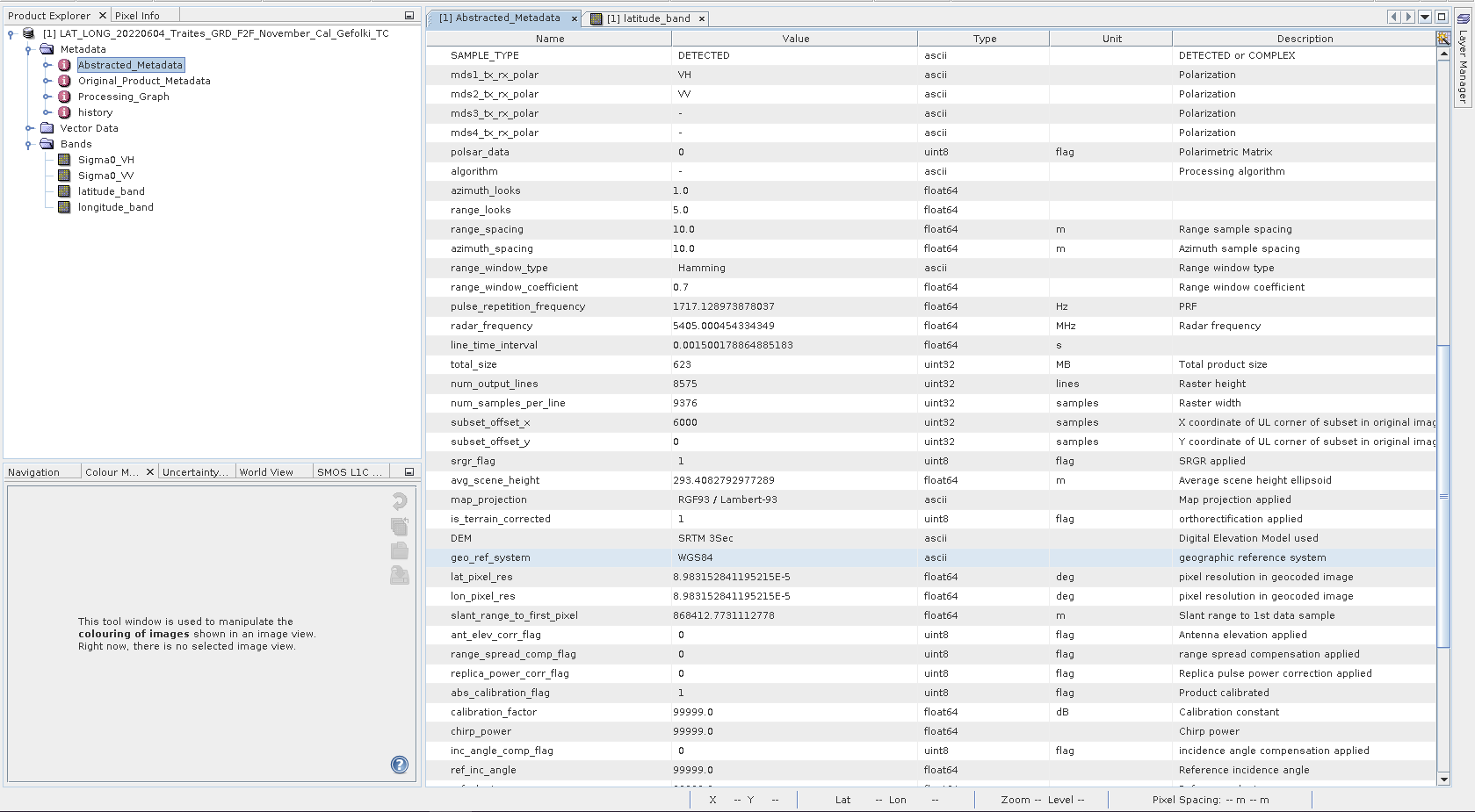
I terrain-corrected a Sentinel-1 data using as map_projection RGF93/Lambert-93 in order to have meter-square pixels to fit a groud truth.
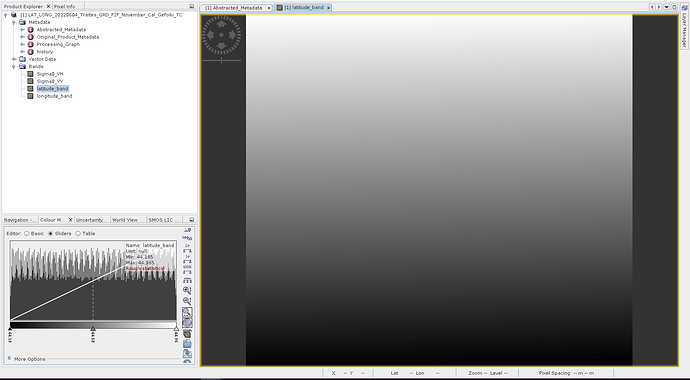
Sadly, when I create bands using the LAT/LON constantes I obtained a value in degree and not the numerical value expected. Is there a way to get this ?
Thanks in advance and have a good day,
Nathan Paillou

