I would like to upload a ESRI Shapefile to overlap with an Sentinel 2 proceeded NDVI index image and does not allow me to do so …
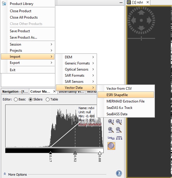
and get this
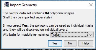
but the shapefile could not be open and display over the NDVI image
Thanks a lot
I would like to upload a ESRI Shapefile to overlap with an Sentinel 2 proceeded NDVI index image and does not allow me to do so …
and get this
but the shapefile could not be open and display over the NDVI image
Thanks a lot
Maybe a matter of coordinates? Sentinel 2 is UTM, your vector data should be projected in the same reference system.
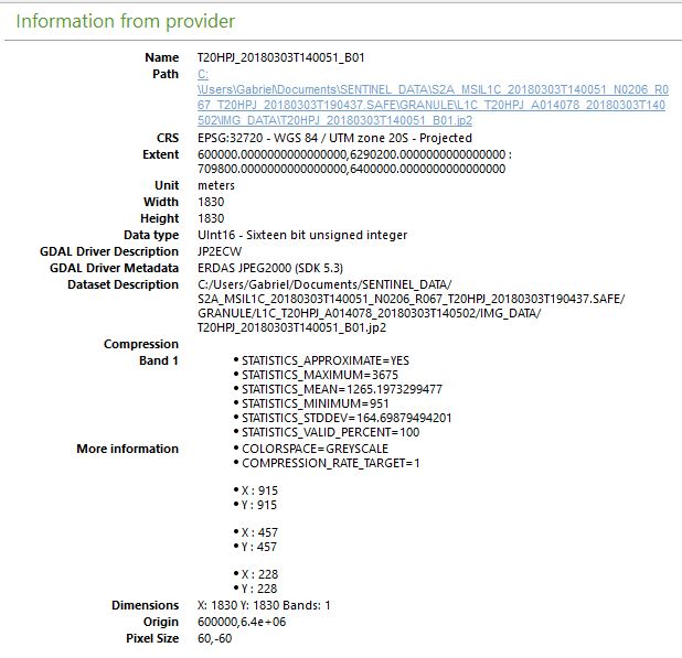
Thanks a lot how can I find both Sentinel-2 and my shapefile projected reference system and convert the shapefile to the Sentinel-2 one?
But I think the problem could be different since I have checked in QGIS both coordinate systems and might be the same, here they are
SENTINEL projected coordinate system
Shapefile projected coordinate system:
Thanks a lot again.