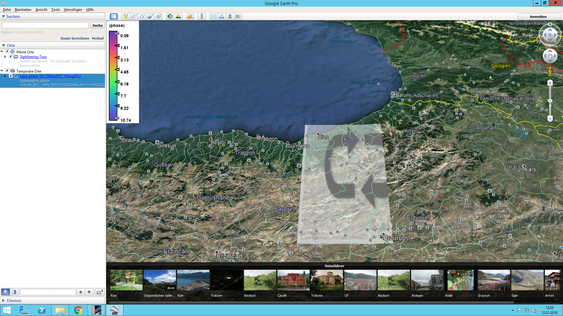
I have created an RGB view, and I see the full scene, the question is how do I locate myself on that scene, in other words: is there a way to overlap/sync with a world map, so I can recognise the location in the RGB view?
try to export it to Google Earth
File > Export > Other > View As Google Earth KMZ
Google Earth can be obtained here for free, even the Pro version which supports the integration of actual GIS data.
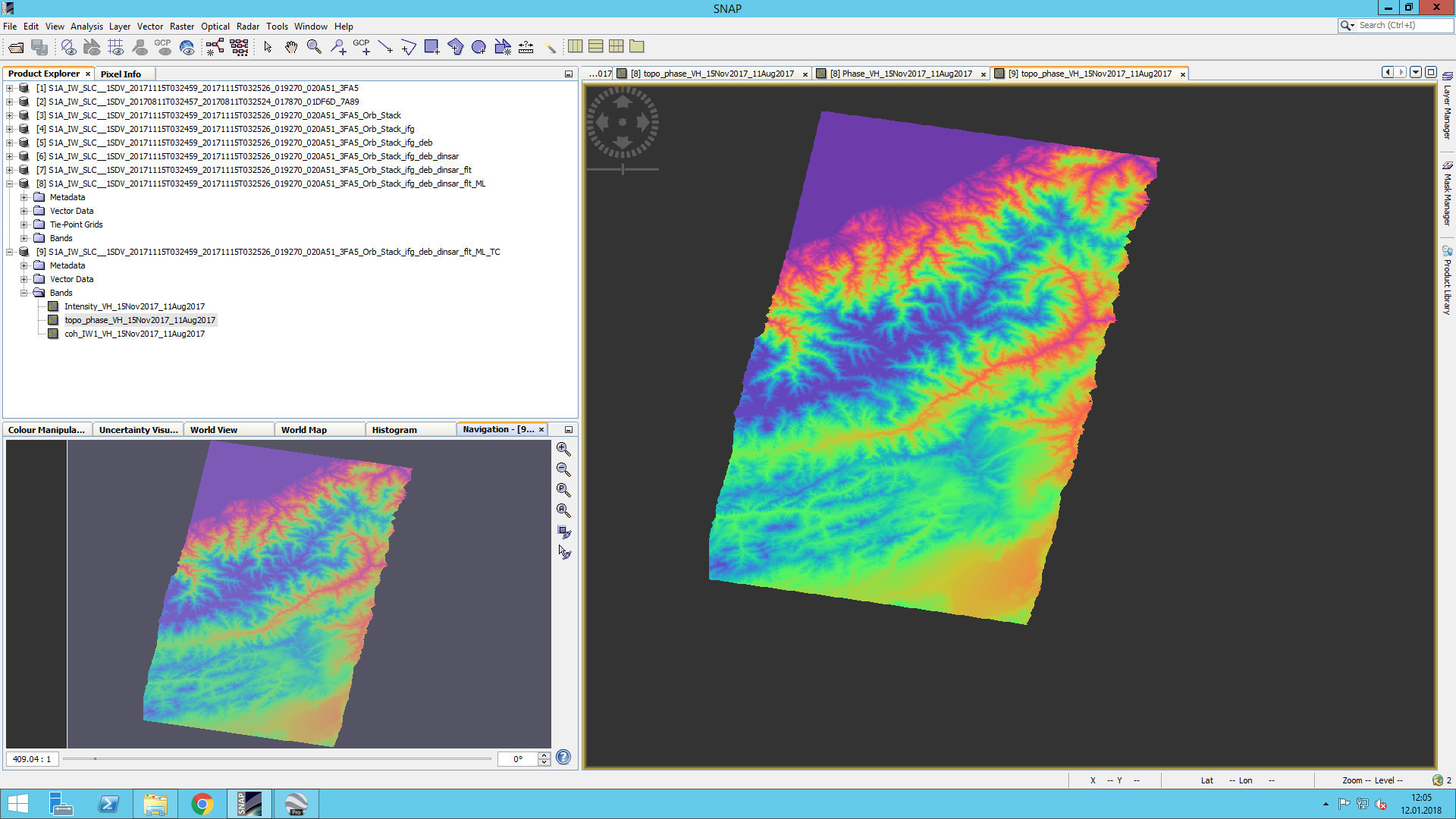
thanks, I tried that, but I get: “Product must be in ‘‘Geographic Lat/Lon’’ projection.”
okay, then try to reproject your data to WGS84 first:
Raster > Geometric Operations > Reprojection
- Chose input and output datasets
- Custom CRS:
Geodetic Datum: World Geodetic System 1984
Projection: Geographic Lat/Lon (WGS84) - Check “Preserve resolution”
- Uncheck “Reproject tie-point grids”
Then apply File > Export > Other > View As Google Earth KMZ
1 Like
worked fine, thanks a lot! great tool
Hi everyone,
I use Google Earth program for the first time. I’m working on SNAP. I wanted to export to Google Earth. But I saw below image? What shoul I do? Could you help me please? Thanking you in advance.
SNAP image,
Usually, you just have to wait. In you screenshot the raster is still loading (small circle in the legend)
Thank you Andreas. I guessed that so. But I have been waiting a long time. So, I wanted to ask if there could be an error.

as stated there, you first have to apply Range Doppler Terrain Correction and project your data into WGS84.
Thanks Andreas but I already followed these steps. Am I wrong? I’m so confused. 
if your data looks like above, it is not projected. You can see it when the whole raster is tilted to face north in a correct way. Make sure you select the one with TC at the end before you start the GoogleEarth export.

Maybe you should try a smaller subset first

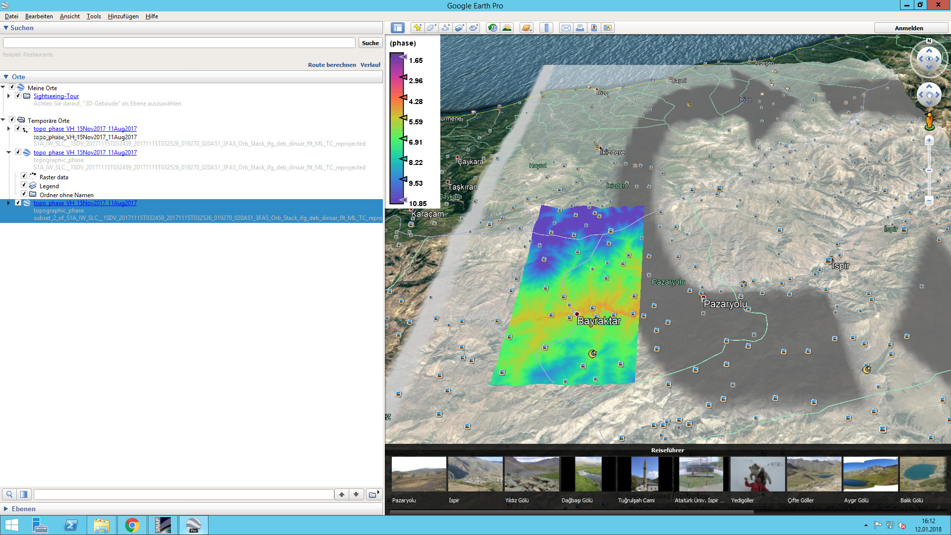
So maybe the full raster exeeds the maximum size for kmz files.