Hello.
I’m working in the team which is doing a recognition of flooded areas in Poland using Sentinel1 GRDH SAR data. Our model is working quite fine, but we occur the problem with long straight lines appearing on our final data which we are displaing on the maps.


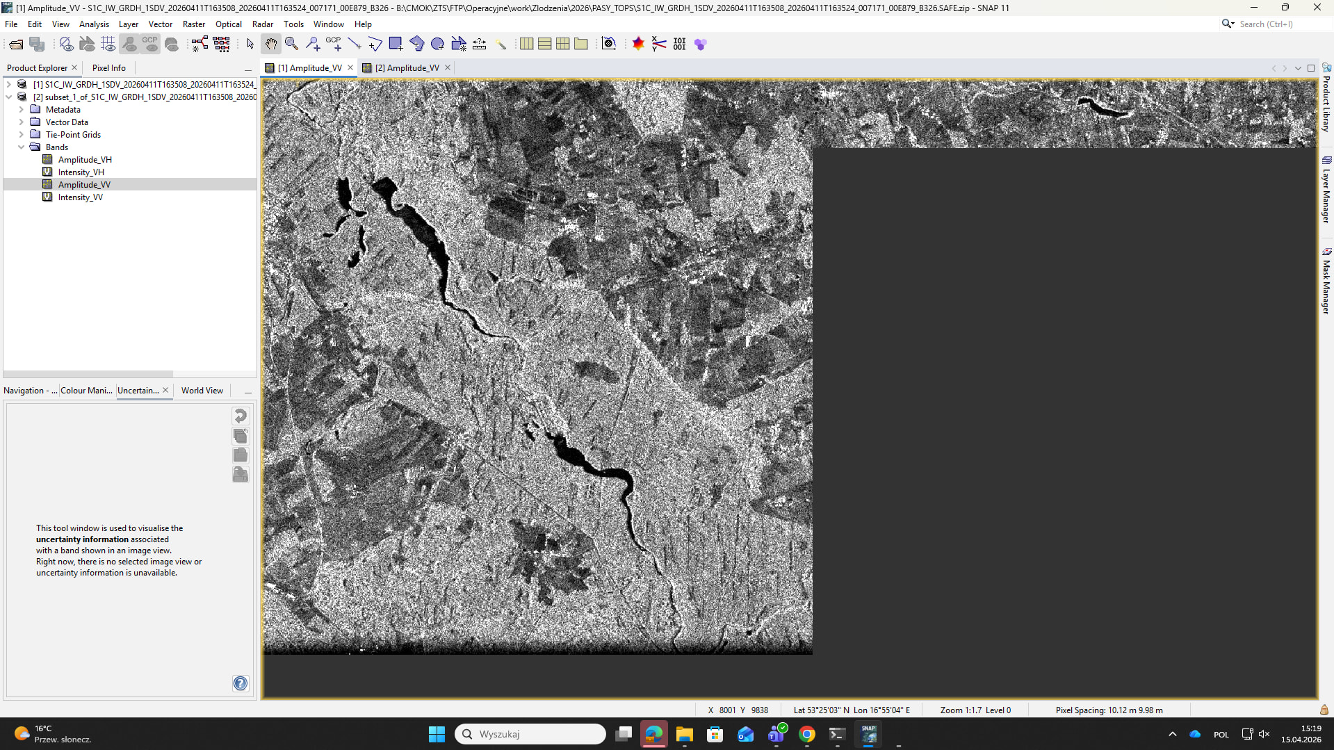
It’s seems to be related with the edge slices of SAR TOPS path data. One of three scraps (the longest one) is not finish sharply but vanish gradually:

Did anyone of you had got such problem? If yes could you give me a solution how to remove it. My first idea is cutting some of the lines from the image using “subset“, but maybe some of you was solving similar problem and could give me a different smarter solution?
Thank you for your help
Kind Regards