Hello,
I am very new to InSAR, so I apologize if I leave out any necessary context and ramble on trying to explain myself.
I am being tasked to look at LOS surface displacement along a very large river system (the area is contained within 4 bursts). My overall objective is to understand LOS surface change over time induced by varying river conditions and validate my displacement maps with GNSS reference stations positioned nearby. I am using Sentinel-1 SLC data downloaded from ASF’s data repository.
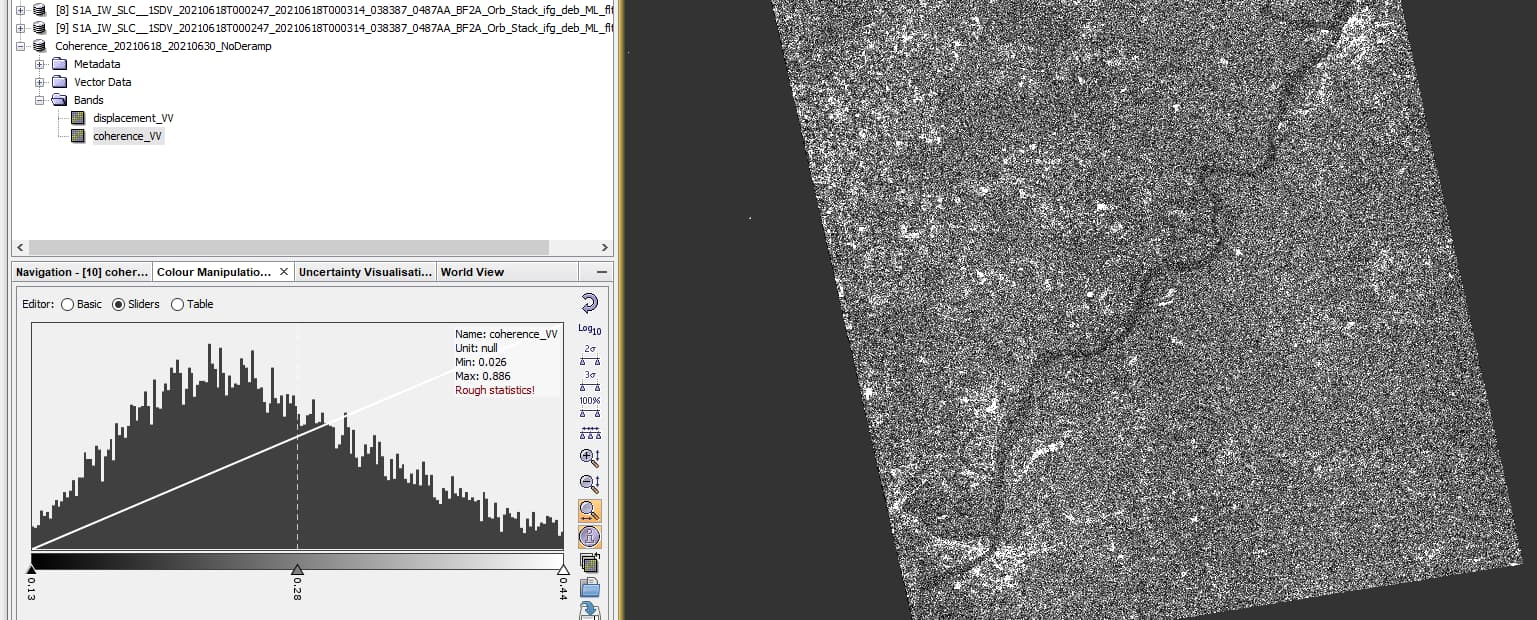
I have completed the ASF tutorial (https://asf.alaska.edu/how-to/data-recipes/create-an-interferogram-using-esas-sentinel-1-toolbox/) and the ESA interferometry tutorial (https://step.esa.int/docs/tutorials/S1TBX%20TOPSAR%20Interferometry%20with%20Sentinel-1%20Tutorial_v2.pdf). When I try to follow the steps outlined within the ESA tutorial using my own data, I am able to successfully produce displacement maps, but the displacement numbers at the most coherent locations seem rather large (10s of centimeters) over a 12 day period. Realistically, these locations are shifting very minimally as there is little tectonic activity or subsidence in this location.

I have 3 primary questions:
1.) Why are my LOS displacement values so high for coherent locations?
2.) For coherent pixel spaces, what type of accuracy in LOS displacement measurements should I expect for a single displacement map? For example, assuming that I processed my data correctly, the data is good, and I am investigating coherent enough pixel spaces, does interferometry provide displacement measurements that are accurate to 10 dm, 10 cm, 10 mm, or what? I know that a long time series can provide a more accurate representation of the movement happening at a given location and can therefore average out some of my unrealistically high displacement values, but what can be expected from the accuracy of a given displacement measurement?
3.) What resources would you all suggest for someone who is looking to perform this type of analysis?
Please let me know if I need to elaborate and/or provide more information.
Thanks!