I am trying to detect the angle of offshore wind turbines with sentinel 1 data (later completely through a python script).
From first observations it seems I can recognize them the best with GRD - Interferometric Wide swath (IW) - VH maps. Now if I open the files through the manifest.safe with SNAP the map is not yet rotated towards the true north, which I need for my calculations. As far as I understood I need to do the Range-Doppler Terrain Correction. So I followed this video: https://www.youtube.com/watch?v=Zt9XtPqeT3A
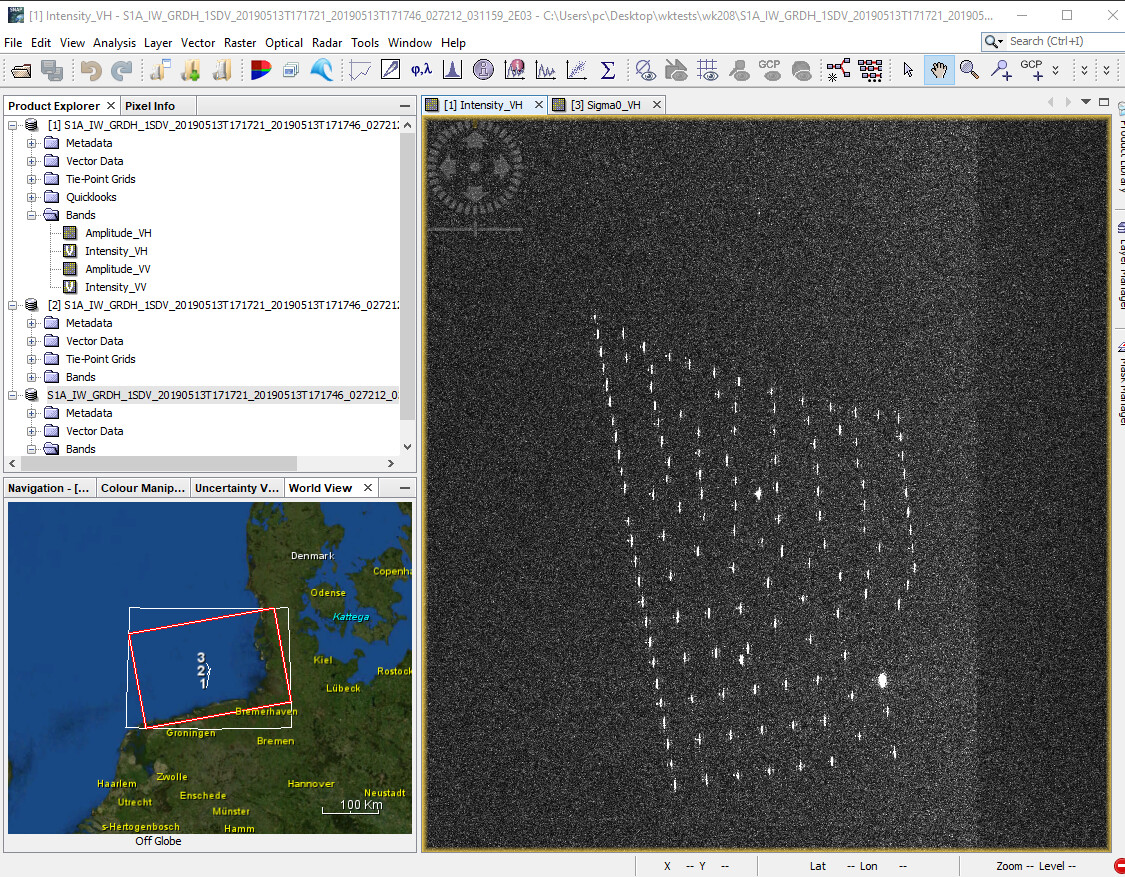
But after a long calculation time i get the following result which seems to cut off my ocean tiles. Where did I go wrong and once I have found my error can i automate the complete process in a python script?! snap2.PNG|647x500
as the name says, Range Doppler Terrain Correction is intended to remove geometric distortions caused by topography (over land). By default, it masks out all ocean data with no elevation. You can either un-check this option
or you take the Ellipsoid Correction which assumes constant ocean heights for the projection of your data into a coordinate reference system.
Thank you for your fast answer!
Can I go straight for the Ellipsoid Correction -> Average Height Wage Doppler after opening SNAP or would it make sense (to avoid introducing miscalculations through missing steps) to do other steps beforhand, since I am not interested in the land area anyway?
Radiometric > Calibrate
is always a good choice before terrain correction, because it levels out the global incidence angle and converts intensity to Sigma0 (comparable between different dates)