Manually georeference offset imagery in SNAP

Hello, I have a few OLCI images in high latitude that have mild offset on geolocation. I need to manually add tie points to correct them using tool such as QGIS georeferencer, but I would like to do the georeference directly in SNAP if it has such tool, to keep metadata info and file format for further SNAP processing.

If there is no such tool in SNAP directly, is there somehow I can build some tie-points, or lat/lon grids from QGIS and then replace the original problematic ones to continue the processing in SNAP?

thanks,

Chui

hello Chui,

The first thing you can try is to set the property s3tbx.reader.olci.pixelGeoCoding.
Either by setting the property in a text file, as described here:

Or in the GUI (Tools / Options):

This will improve the geo-coding if you still use the tie-points as basis.
Next version of SNAP/S3TBX will have this setting as default.

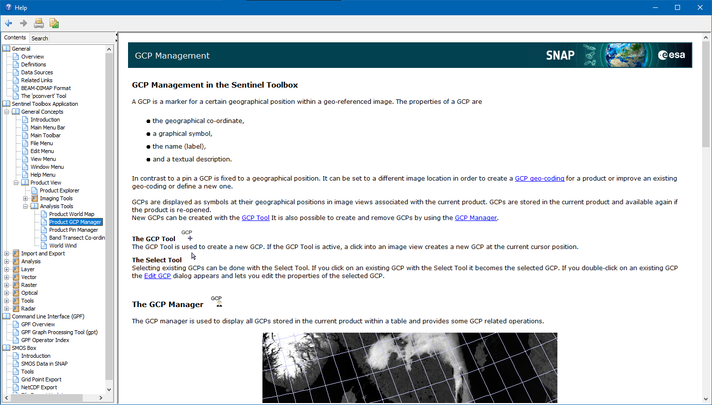
If this is still not sufficient. you can set ground control points (GCPs) in the scenes for known locations.
Afterwards you can create a new geo-coding based on these GCPs.
It is like the QGIS georeferencer.


.

thank you Marco for the help! yes it turns out just the Tie-Point grid option in S3 toolbox fix the problem Thank you for the full answer.

  • Just curious, is it safe to keep the s3tbx.reader.olci.pixelGeoCoding=true? I mean is it possible this setting works for some tiles, while s3tbx.reader.olci.pixelGeoCoding=false is better for some other OLCI tiles?
  • Does the s3tbx.reader.olci.pixelGeoCoding=true in command a temporal change for the current live session, or just like the /etc file update and it applies to the files and works for all future sessions?

Chui,

Yes, it should be safe to keep the property to true.
But keep in mind that it can slow down processing, like reprojection. Everything where geo-location is involved.
If you use the property on the command line it is only set for this session.

Excellent! thank you Marco. —Chui