Good day everyone!
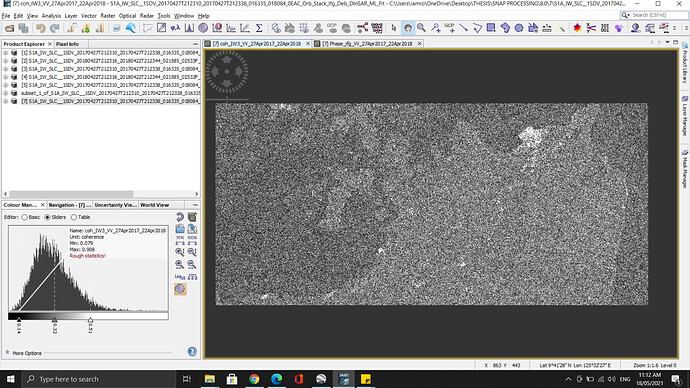
I applied Mask out areas without elevation back in the Back-Geocoding operator while doing Coregistration. But water bodies (specially sea area) is not masked out in the images. DEM used was SRTM 1sec (hgt). I saw posts in this forum saying SRTM 1sec is more useful, but how was it different with the one with ‘hgt’ on it?
My study area is located in Surigao City, Mindanao, Philippines with latitude 9deg27min which is good for SRTM coverage.
It always depends on the DEM you use for masking and which areas are defined zero. This can differ between the datasets, so you can first load them into SNAP (right click > add elevation band) and visually check their quality. Also, the Pixel Information window will show you where they are zero.
Excuse me for refreshing the topic. I am currently facing a similar problem while trying to coregister two SLC products. I am trying to coregister two single bursts of SLC where the scene is 85% sea. Either going manually step by step (split, orbit apply orbit file, back geocoding) or directly S1 TOPS Coregistration it fails to apply masking areas with no elevation “only” for the master image of the image pair. The araes of no elevation in slave is masked. The situation ensues even I switch master and the slave. The master image of the pair goes non masked. My study area is in the Aegean sea and I have tried both SRTM 3 sec and 1 sec as well. May you please assist me for the point that I am mistaken. Thank You
