Dear all,
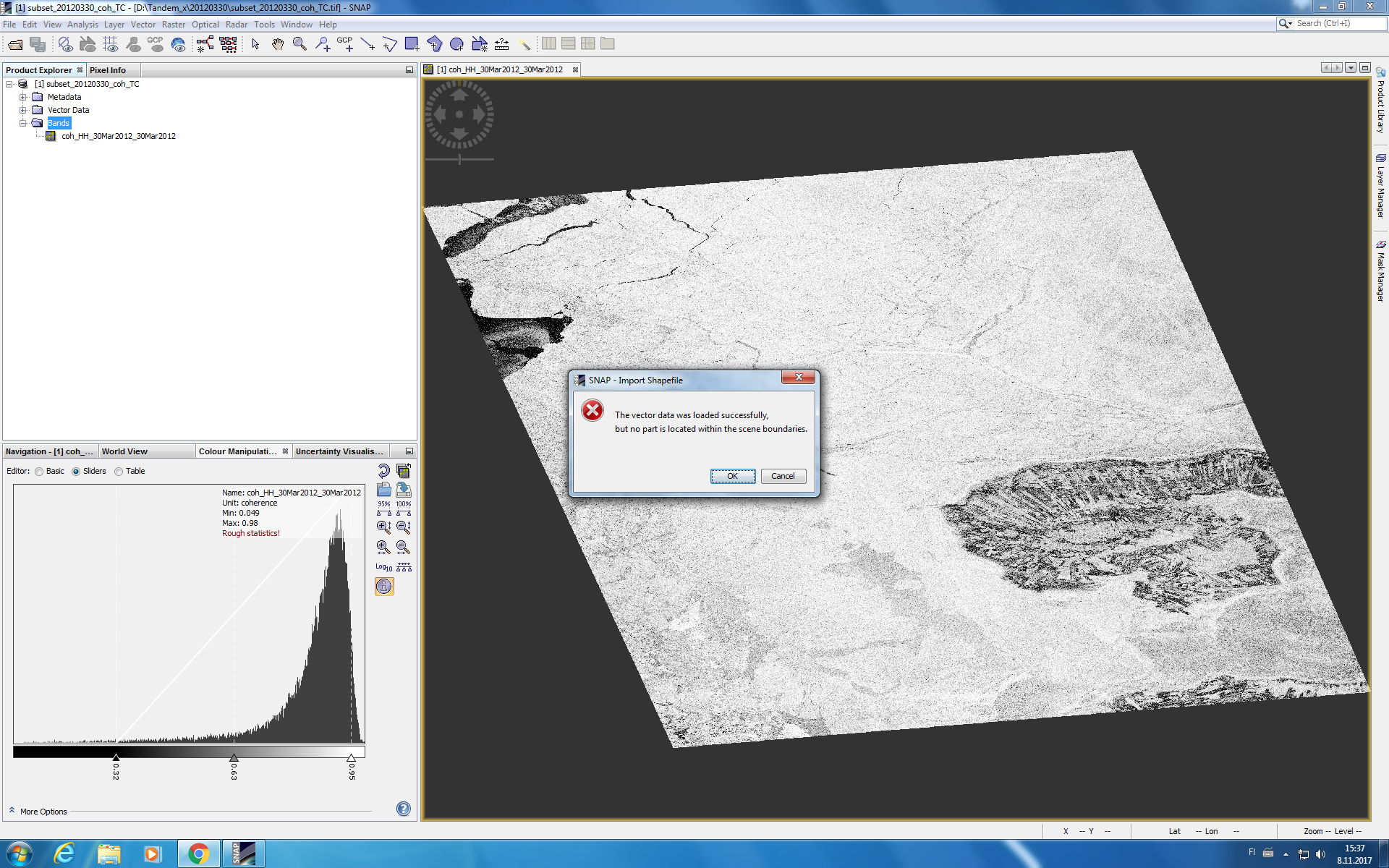
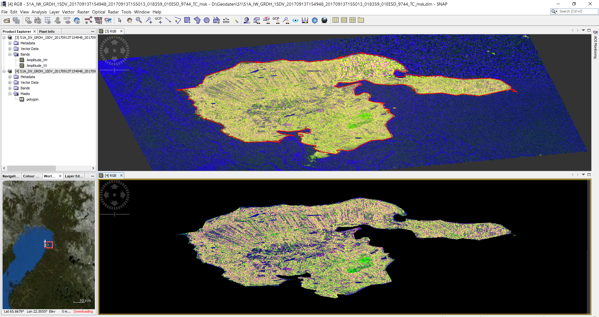
I am trying to mask out some coastline area in SNAP. I am using OSM (Open Street Map) shapefile data http://openstreetmapdata.com/data/land-polygons but when I apply it on image, it says me this error; The vector data was loaded successfully but no part is located within the scence boundaries.
I do not know why I am getting this error because I opened OSM shape file in QGIS and it has the land area in my image but why it says no part is located within the scene boundaries.
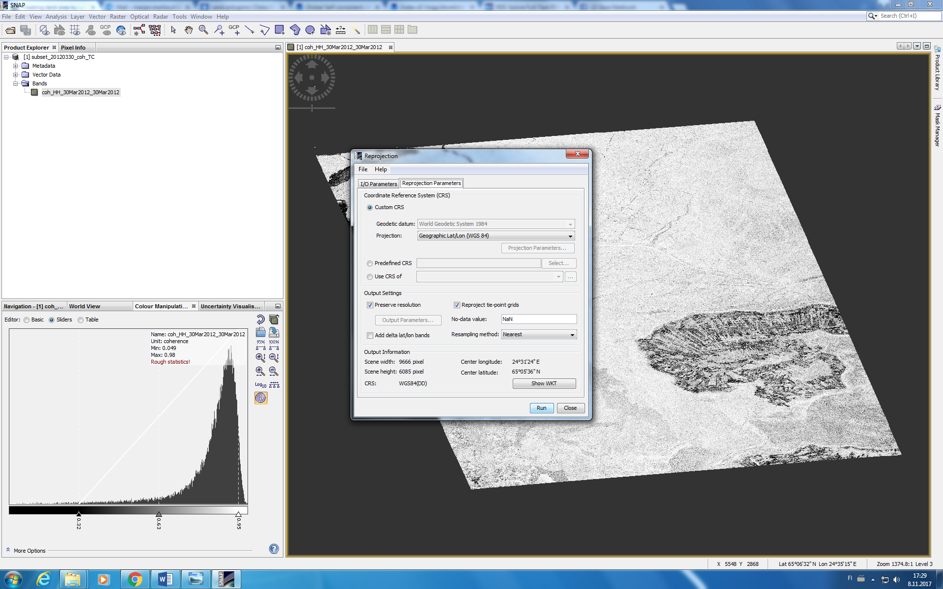
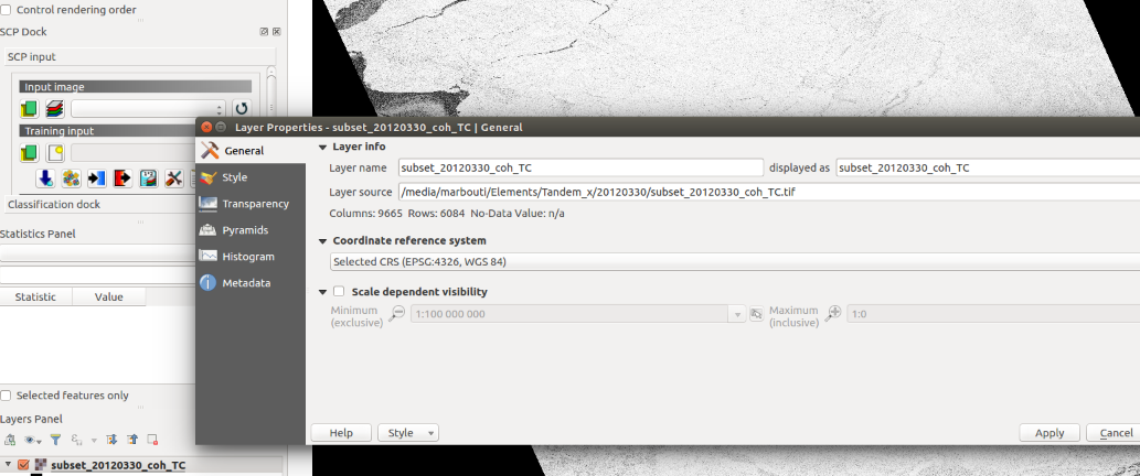
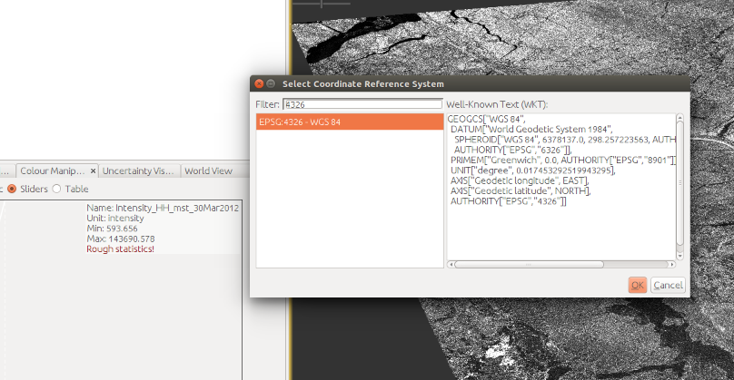
Which projection did you chose when you applied the Range Doppler Terrain Correction?
You can see this by clicking on
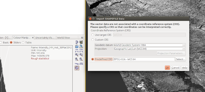
The format of your scene boundaries defines if the shapefile is located within. If your raster is UTM projected and your vector WGS84 you might get this error.
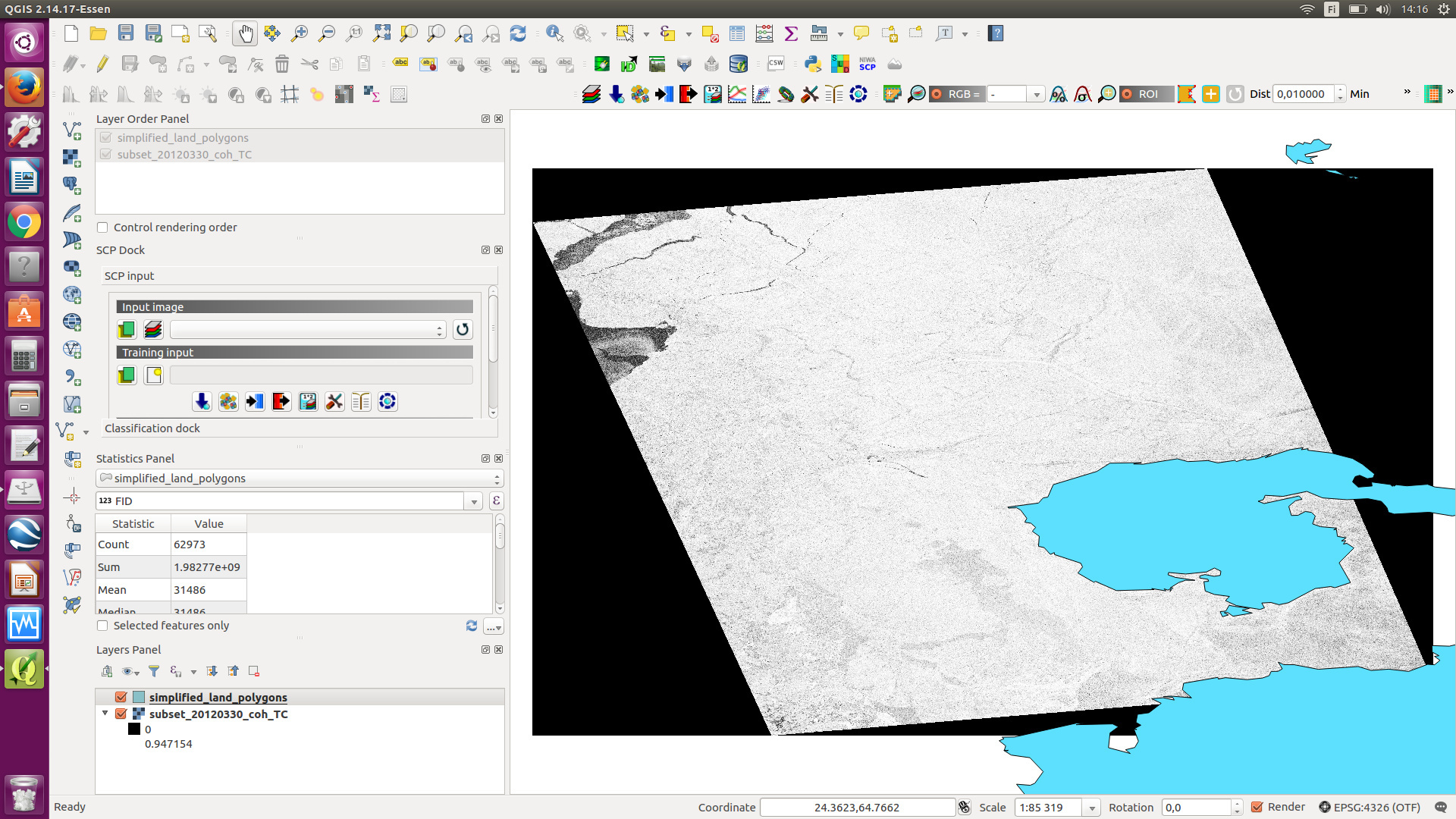
As you can see when I open image and shapefile on QGIS, then they are working very well but I do not know what is wrong with SNAP (Look at below image).
that is strange. If you open the properties of the raster in QGIS, which coordinate system is named there?
Is it an option to mask the land area by the Land/Sea mask tool in SNAP? Edit: No SRTM in this area, so this won’t give proper results.
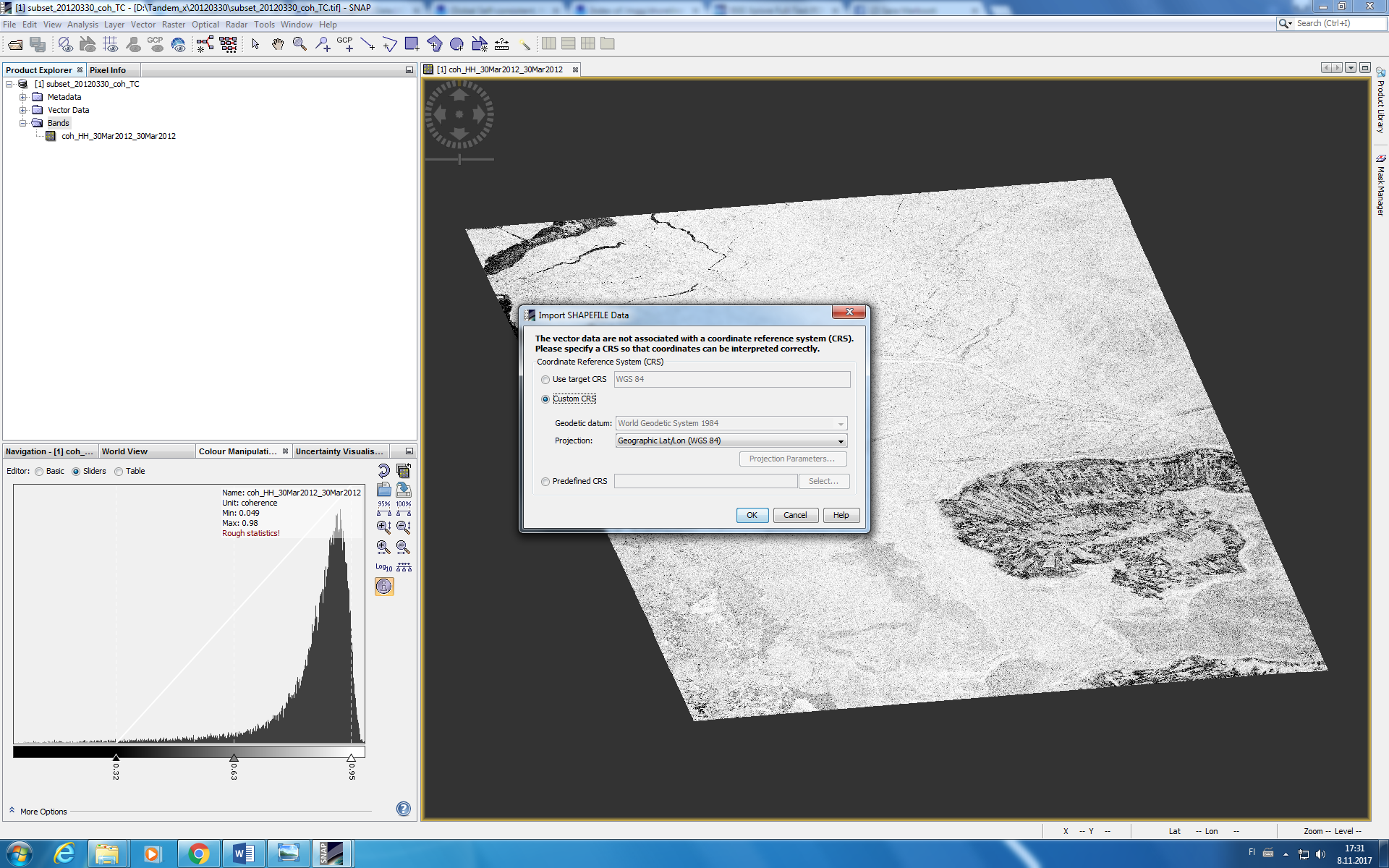
I just tried it and didn’t get any issues. Are you sure you saved the raster in WGS84? The reprojection tool (referring to your screenshot above) doesn’t really show you the coordinate reference system of the product.