It is proud that I use the valuable satellite data of Sentinel-5P.
If possible, guide me to fix the problem of reversing(mirror
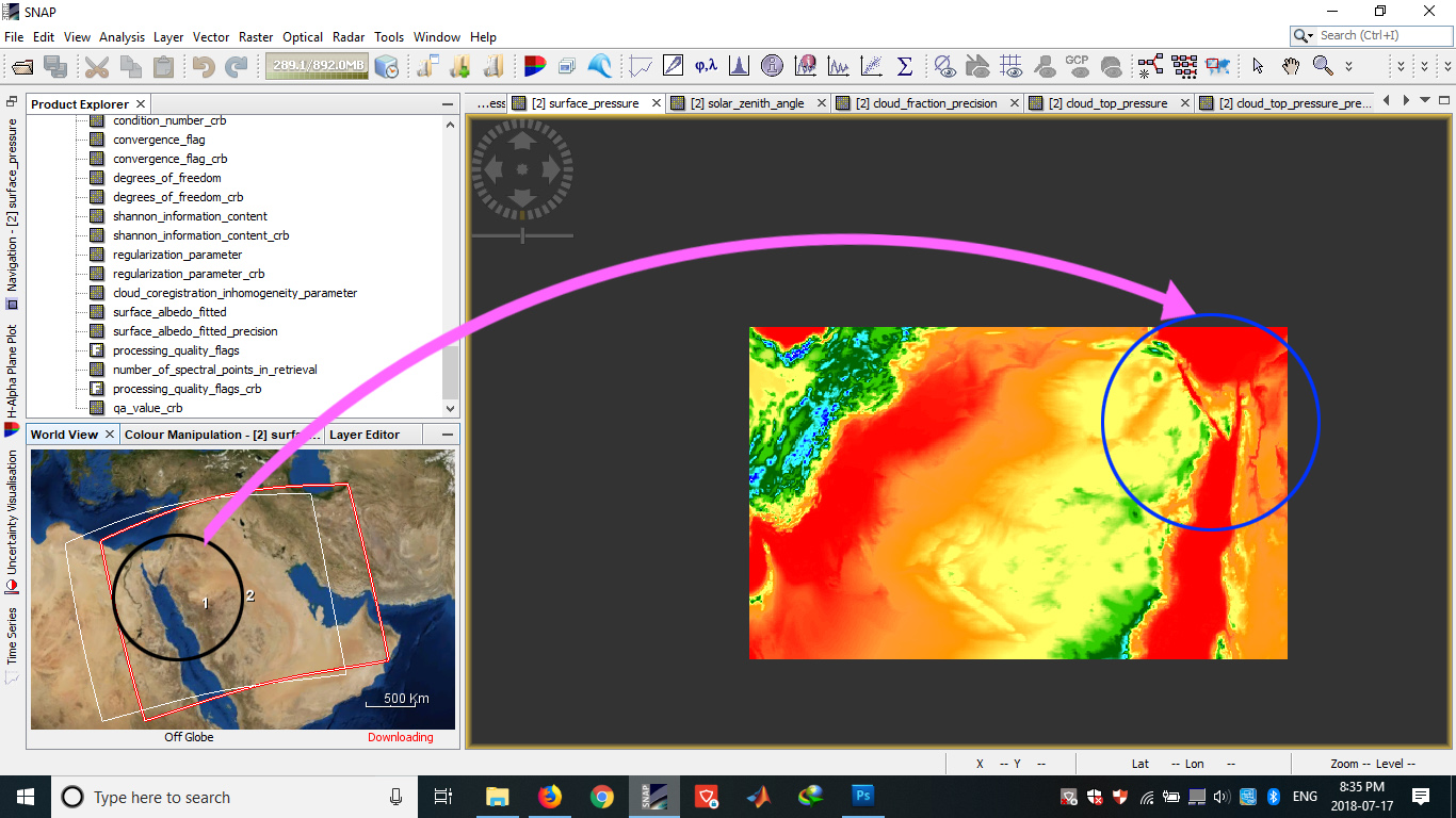
Attachment image
someone can help me please??
thank you family
It is proud that I use the valuable satellite data of Sentinel-5P.
If possible, guide me to fix the problem of reversing(mirror
I never tried it, but it exists a Flip operator that can reverse horizontally or vertically the image. You can find it in the graph builder in Raster-> Flip
You can also geocode your product to associate long/lat to your images
I think that is the better option.
Yes, run the geometric terrain correction operator. But do it as your last step!
Thank you for answering.
Unfortunately, this did not fix the problem.
But the question is, when I select the products of Banbs in the Product Explorer section, the images are mirrored. This problem is not corrected by rotation, Because each pixel is 180 degrees inverted.
Of course rotation doesn’t help, because the satellite was acquiring the image in descending orbit: https://sentinels.copernicus.eu/web/sentinel/missions/sentinel-5/satellite-description/orbit
I still think geocoding solves this. What steps did you try so far?
I apologize for the delay in answering
I tried (graph builder in Raster-> Flip) and (geocode). Of course, (graph builder in Raster-> Flip) were right for some data, but in most cases they did not get the result.
However, I might make a mistake in (geocode). You may be instructed. Thank you
Could you provide the names of the products, one where it is working and one where it doesn’t?
Then one could try to replicate it.
Does the SNAN has flipping operator?
I can not find it.
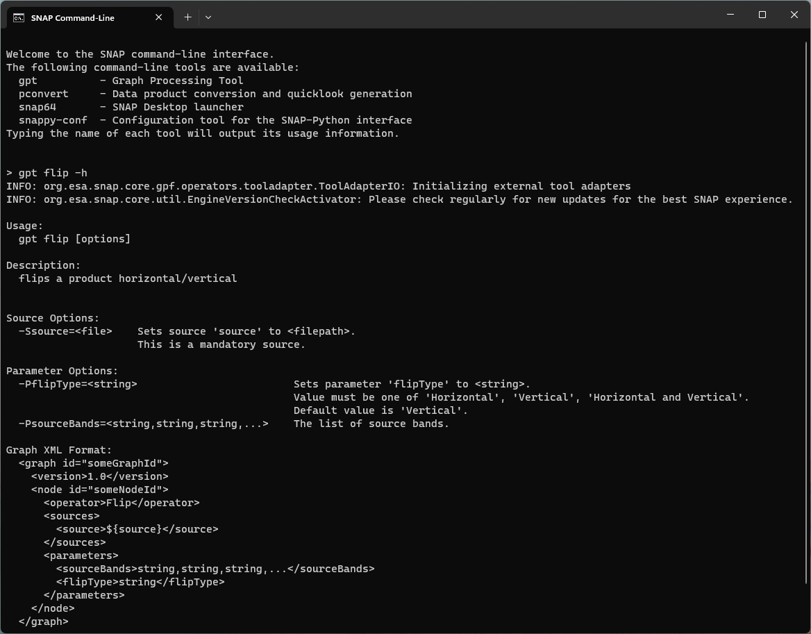
The flip operator is included in the GPT in command line mode.
hi
My problem in SNAP did not fix.
But using the link below and VISAN software, you can beautifully use the product.
https://sentinel.esa.int/web/sentinel/user-guides/sentinel-5p-tropomi/software-tools
greetings!
how can i download VISAN? is it possible to get the vertical profile of atmosphere ,by using the VISAN , while working on the sentinel 5P imagery.
At the linked page you find a link to BEAT. And on that page, you find a link to VISAN.
Hello,
I too have a mirror image and can you suggest how to resolve it? I have three images - two of which are from the same orbit and I assembled them together using the slice_assembly.
However, the third image is from another orbit and is flipped. I would have tried correcting it using the terrian correction. But I want these three images together “like, mosaicked” so I will have to coregister them before performing the terrain correction. And coregistration fails because of inverted image…
Can someone help me resolve this as sooner as possible?
Thank you.
Why don’t you do the terrain correction first and afterwards the mosaic? This should work too.
In the GUI there is no option to flip the data, but you can use gpt from the command line.
The following command-line tools are available:
Hey Marpet,
Thanks for the response.
Yes I did that and got the result. Also, I am doing crop classification so shall I go for converting the bands to db or keep it in the linear format?
I am confused about that as well.
Thanks a lot.
Sorry, I’m not a SAR expert. and can answer this question.
Maybe someone else?
No worries.
Yes, if anyone else could help?
Please have a look at these:
Hey ABraun,
Thanks for the help.
I had one more question. It might be basic.
I have my ground truth dataset in the form of shapefile, I want to separate that into training and test files. How can I do that? Previously whichever work I had done included .xml file for the GT data and I would apply Stratified Random Sampling for separating into training and test, but this time I am using a shapefile and very confused how to prepare my training dataset.
Thank you.