According to the Sentinel-2 Products Definition Document: The tiling grid shall ensure an overlap between tiles at the UTM zone borders (page 30). That is, granules should be duplicated at the UTM zone borders.
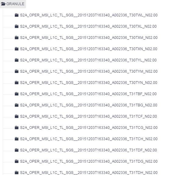
S2A_OPER_PRD_MSIL1C_PDMC_20151204T133152_R051_V20151203T110846_20151203T110846, it can be observed that granule T30YN and T31BH should be both in the product, but T31BH is never there, not only for the mentioned product, but for all the acquisitions of the same scene along the time.
I’ve also observed the same problem in other UTM border areas. I didn’t find this problem reported yet. Does anybody have an explanation for it?
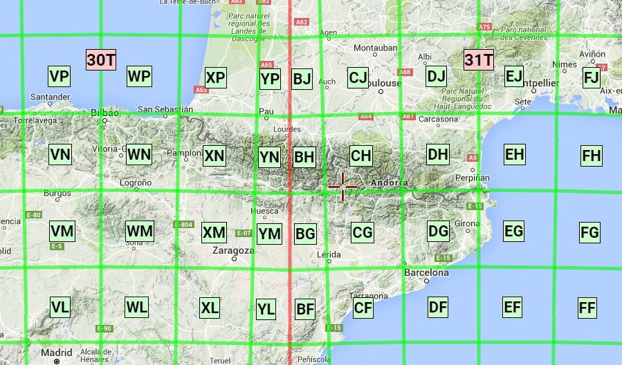
You mean 31TBH I guess (the leading T in T31TBH is only a separator in the file naming), but it is not defined as a granule, because the area is fully in UTM zone 30, so only identified with 30TYN.
After looking at the L1C Tiling Grid and the UTC overlay in KML, and comparing them with your image from mappingsupport.com, I surmise the reason for there not being a 31BH is that the longitudinal UTM zone border between UTM Zone 30 and UTM Zone 31 would result in the L1C Tile ( a fixed size of 100 km2) being divided in half; the other (westward) half being 30TYN. Thus the Tiling Grid contains a complete Tile (30TYN) that effectively overlays the portion of UTM Zone 31 that would be 31TBH.
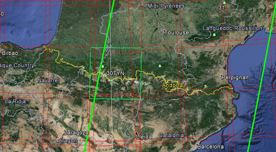
In the image below (GE) I have highlited the 30TYN tile. You can see how it crosses the UTM zone (white line).
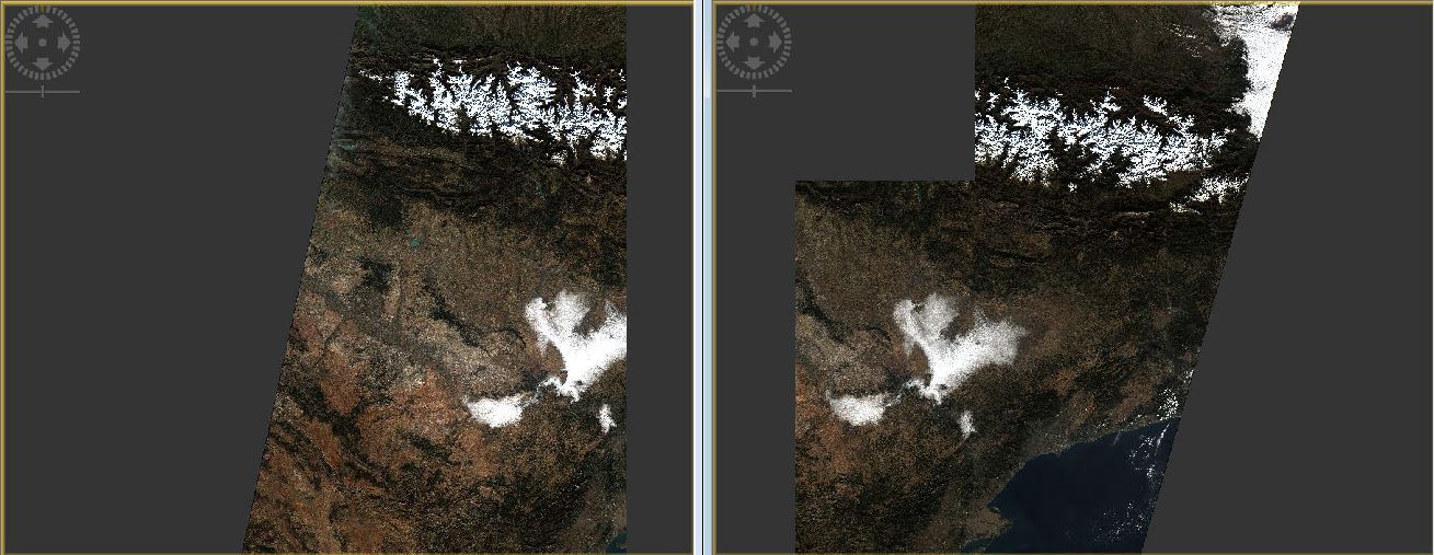
I don’t understand why this 30TYN tile is different from its neighbour southern 30TYM or even 30TYL. I need to reproject 30TYN tile to the UTM zone 31 (an extra interpolation) in order to complete an orthoimage for the Catalonia territory that is completely included in UTM zone 31.