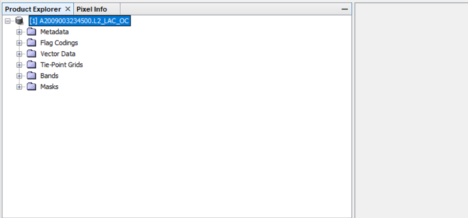
I have downloaded MODIS level 2 images from https://oceandata.sci.gsfc.nasa.gov/MODIS-Aqua/L2/2009/003/ however i would like to convert them to geotiff. Can this be done with snap;
Yes, it’s possible to do so, open the product in the Product Explorer and then from File tab ----->Export as geotiff,
In case the previous option doesn’t work, firstly right click on your product in SNAP and save as dim_dimap, and then apply what I explained to you above,
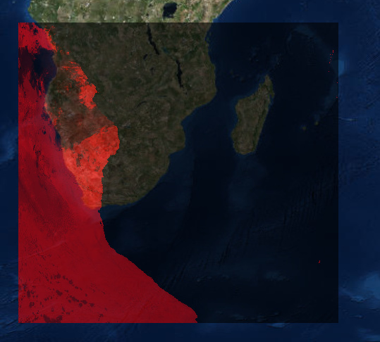
This an example geotiff exported MODIS, from the same website you have referred to,
I have done that as you can see. However when you put a basemap it is not correct the result.
I have attached an image
Any ideas?
Reproject your image to the EPSG:4326 WGS84, OR/AND put both in the same projection