Dear members,
I am beginner to SNAP.
I started Downloading multiple s2 data sets using this pycode.
http://olivierhagolle.github.io/Sentinel-download/
After this, I started Resampling of multiple files using batch script provided at
https://senbox.atlassian.net/wiki/spaces/SNAP/pages/70503475/Bulk+Processing+with+GPT
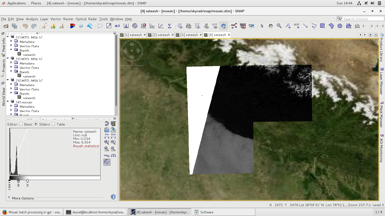
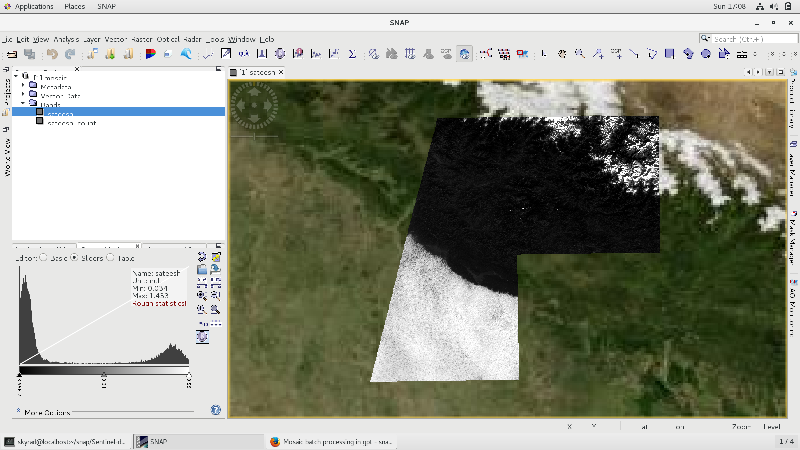
Now, I struck at BandMath and Mosaic of multiple files.
my resample_s2.xml, bandmaths.xml, mosaic.xml are working fine when it run individually.
But, when I combine to all.xml file. Its not working.
Can any body help me to combine these .xml files to all.xml so that, I can run it in operationally in cluster.
my xml files are attached here.
all.xml (2.2 KB)
<graph id="Resample_Sentinel-2">
<version>1.0</version>
<node id="resample-s2">
<operator>Resample</operator>
<sources>
<sourceProduct>${sourceProduct}</sourceProduct>
</sources>
<parameters>
<targetResolution>${resolution}</targetResolution>
<upsampling>${up}</upsampling>
<downsampling>${down}</downsampling>
<flagDownsampling>${flag}</flagDownsampling>
<resampleOnPyramidLevels>false</resampleOnPyramidLevels>
</parameters>
</node>
</graph>
<graph id="someGraphId">
<version>1.0</version>
<node id="someNodeId">
<operator>BandMaths</operator>
<sources>
<sourceProducts>${sourceProducts}</sourceProducts>
</sources>
<parameters>
<targetBands>
<targetBand>
<name>sateesh</name>
<type>float32</type>
<expression>B2+B3</expression>
<description>string</description>
<unit>string</unit>
<noDataValue>0</noDataValue>
</targetBand>
</targetBands>
</parameters>
</node>
</graph>
<parameters>
<variables>
<variable>
<name>band_1</name>
<expression>band_1</expression>
</variable>
<variable>
<name>variable_1</name>
<expression>band_1 + 400</expression>
</variable>
</variables>
<combine>OR</combine>
<crs>GEOGCS["WGS84(DD)",
DATUM["WGS84",
SPHEROID["WGS84", 6378137.0, 298.257223563]],
PRIMEM["Greenwich", 0.0],
UNIT["degree", 0.017453292519943295],
AXIS["Geodetic longitude", EAST],
AXIS["Geodetic latitude", NORTH]]</crs>
<orthorectify>false</orthorectify>
<elevationModelName>SRTM 3Sec</elevationModelName>
<resampling>Nearest</resampling>
<westBound>71.53906406018703</westBound>
<northBound>34.39134315514452</northBound>
<eastBound>84.56070695099831</eastBound>
<southBound>21.455183699523616</southBound>
<pixelSizeX>0.05</pixelSizeX>
<pixelSizeY>0.05</pixelSizeY>
</parameters>
Thank you.