Hi,
I am trying to create a coherence map the size of the Netherlands by using scenes from multiple S1 tracks(t33, t88, t15, t161, t139)
The final map should be a coherence map as geotiff with approximately 50x50m pixels.
I manage to generate the coherence values in the valid coordinate system with the following sequence
- Radar -> Sentinel-1 TOPS -> TOPSAR split
- Radar -> Apply Orbit file
- Radar -> Corregistration -> S1 Tops Corregistration -> Back Geocoding
- Radar -> Interferometric -> Interferogram formation
- Radar -> Sentinel-1 TOPS ->TOPSAR Deburst
- Radar -> Geometric -> Radar Range Doppler -> Terrain Correction
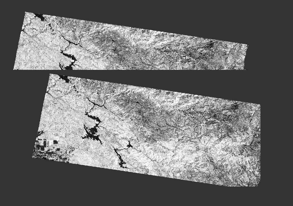
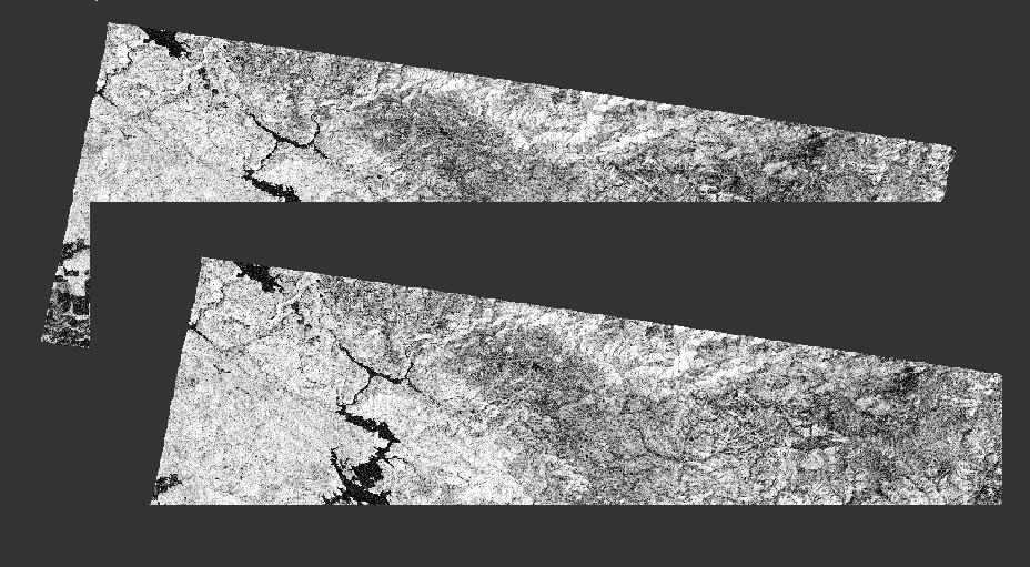
However, when we try to stich these together (using Radar -> SAR Mosaic) it provides black stripes at the edges. An example can be seen below.
I have tried to play around with the feather parameter, but that doesn’t give the right result. Often, one of the two coherence maps is ignored.
Examples:
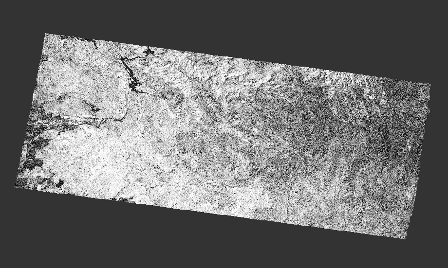
Coherence map 1:

Coherence map 2:
Mosaic with feather:
Mosaic without feather:
Does anyone have any idea what I am doing wrong?
I have searched the forum and saw similar issues, but the answer are unclear what to do exactly.
Thijs