Dear developers,
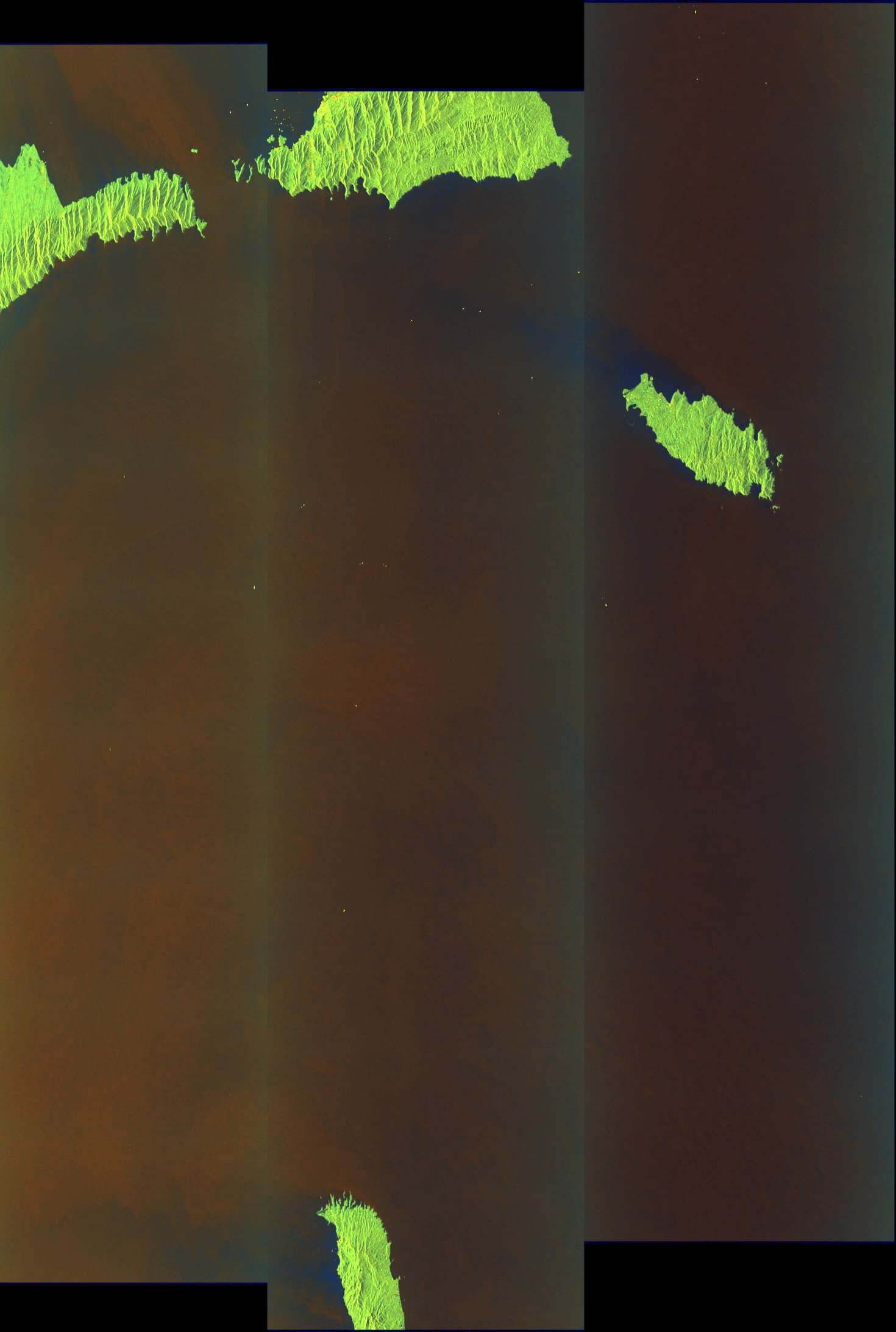
While applying back-geocoding for a stack of 5 Sentinel 1 IW SLC products, NaN values pop up for certain slave images. The problem does not seem to lie in the products itself, as interchanging the master and slave product, and then starting the back-geocoding, generates an acceptable result. The difference between the master and slave image here is that the master product has only a small land portion (and a large ocean part), whereas the slave product covers a bit more of the land area. Could somebody please clarify if this bug is known or what is causing this effect?
Thanks in advance for your help.
Products used in example, taking subswath 2:
S1B_IW_SLC__1SDV_20211220T221744_20211220T221811_030115_03988D_390F
S1A_IW_SLC__1SDV_20211214T221822_20211214T221850_041011_04DF2A_DB23
S1B_IW_SLC__1SDV_20211208T221745_20211208T221812_029940_039300_72B6
S1A_IW_SLC__1SDV_20211202T221822_20211202T221850_040836_04D91F_639F
S1B_IW_SLC__1SDV_20211126T221726_20211126T221753_029765_038D78_4A3A
Graph file settings used for back-geocoding:
<node id="2-Back-Geocoding">
    <operator>Back-Geocoding</operator>
    <sources>
      <sourceProduct refid="1-ProductSet-Reader" />
    </sources>
    <parameters class="com.bc.ceres.binding.dom.XppDomElement">
      <demName>Copernicus 30m Global DEM</demName>
      <demResamplingMethod>BISINC_11_POINT_INTERPOLATION</demResamplingMethod>
      <externalDEMFile />
      <externalDEMNoDataValue>0.0</externalDEMNoDataValue>
      <resamplingType>BISINC_11_POINT_INTERPOLATION</resamplingType>
      <maskOutAreaWithoutElevation>false</maskOutAreaWithoutElevation>
      <outputRangeAzimuthOffset>false</outputRangeAzimuthOffset>
      <outputDerampDemodPhase>true</outputDerampDemodPhase>
      <disableReramp>true</disableReramp>
    </parameters>
  </node>