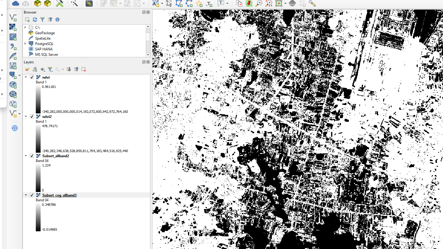
I am using Sentinel2 L2A data with Snap 9.0.6 I tried to use Cloud Remove by Using band Math via Graphs builder everything worked fine but when I exported the result as COG format and I opened it in qgis then calculated ndvi the value was so weird and different with Geotiff format when doing NDVI from the same file?
here is my graph
mask_add_cog.xml (10.8 KB)