for Sentinel-1, values over 100 meters are more suitable according to the ESA guidelines
Have a look at this document http://www.esa.int/esapub/tm/tm19/TM-19_ptB.pdf -> Section 1.3 Selecting images for InSAR DEM generation
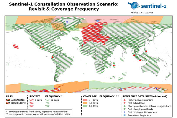
And for most areas, 12 days are available. Have a look at the observations scenario:
https://sentinel.esa.int/web/sentinel/missions/sentinel-1/observation-scenario

About your study area: Whoever gave you the task to build a DEM based on Sentinel-1 must have no idea on the limitations of this kind of data and I personally think such tasks shouldn’t be given by supervisors.