Many modellers are using projected netcdf format. Fortunately, SNAP allows to project results according to a defined coordinate reference system and posting. For example you can export your results in Antarctic Polar Stereographic (epsg:3031) with a 450m grid posting, which is very commun in cryosphere.
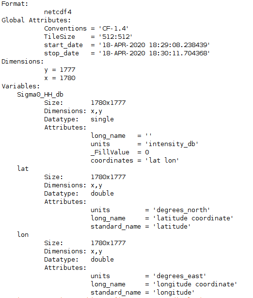
However, when you export the results to netCDF to give it to your collegues, the variables are the longitude, the latitude, and the variable you selected. Is there any way to get the metric posting as x/y variables?
It seems that much of the work is done but the ability to simply give results to modelers has not been pushed to its final conclusion. Do you think it is possible to have it in the future?