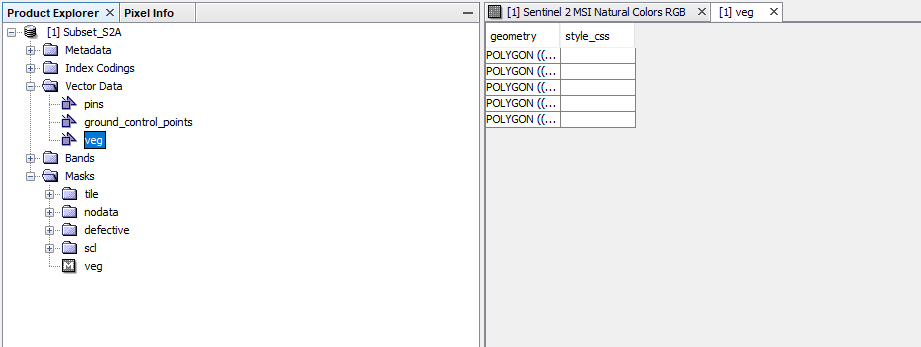
It is appearing like this after double clicking.
you will have to make the geometry column a bit broader to see what comes after the (( 
Maybe the coordinates of the polygons were stored in raster coordinates and not in lat/lon coordinates, thus being outside the raster’s extent (=out of bounds).
1 Like
Oh sorry, my bad.
And yes, the coordinates are being stored in Cartesian format and not in Lat Lon format. Can you tell me what can I do in that case?
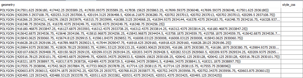
maybe you digitized them before geocoding?
You can try different things:
- make a new training vector, now that your data is geocoded and see if it now contains lat/lon coordinates.
- save your data as a new BEAM DIMAP file. For me, the vectors were then converted to the geographic coordinates.
- Digitize your training samples in a GIS (as WGS84) and import them as polygons as described here: Can't import vector data
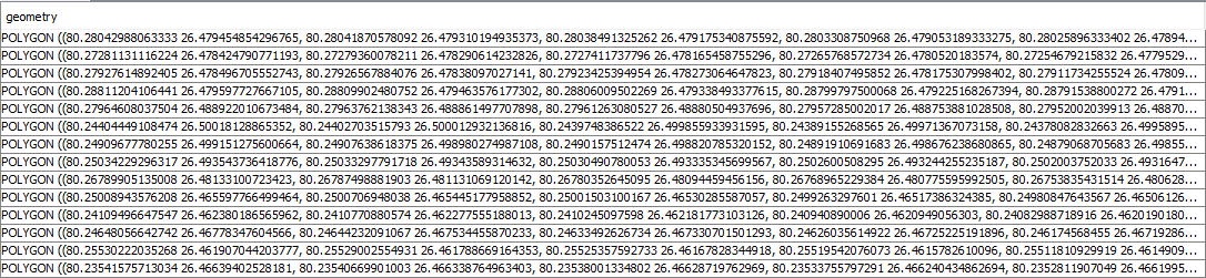
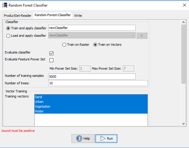
I have converted the coordinates to Lat/Lon as per your advice. Still, the problem persists. I am still getting “bound must be positive” error.
Sorry for the late reply,
I found the same error and I solved it when it realized that some images of my stack were empty (because an error occurred in previous steps). Re-build the stack without these corrupted images solved the problem.
I wonder it works for you and other people with this message
thank you for sharing your solution