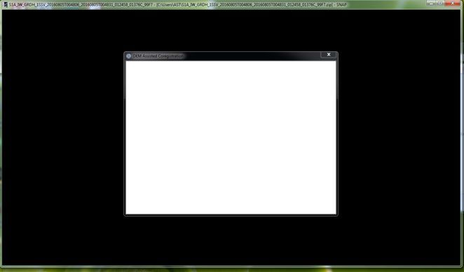
Started in “Offset Tracking tool” of"DEM Assisted Coregistration", after that
in programm window the background became black, and inscriptions were gone in white command window.
On “Task manager of Windows”, the program works in such mode some hours, it is normal?
maybe you could provide more information:
What data are you using?
Which machine are you running (especially Processor and RAM)?
Can you post a screenshot of SNAP in this “black” condition?
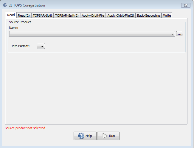
1A_IW_GRDH_1SSV_20160829T004807_20160829T004832_012808_01431E_01B3_Orb
then I open in the SNAP window only images 1 and 2 and I start “DEM Assisted Coregistration”, using SRTM of 3 Sec, it covers my area
After a while the SNAP window looks so:
Processor Intel ® of Core ™ 2 CPU 4400 @2.0 GHz, RAM of 4 Gb,
OS Windows 7 max/64
Yes, might be I didn’t mention so clear, but I meant instead to apply each command separately you could do it in this way for example , Or to build the graph
basically true, but this only applies to SLC data. akrig was working on GRD data where no TOPSAR split/deburst ect. is needed.
Simple cogistration should do it.
Yes, that is true, but I meant to try out create similar graph as it it mentioned in IW_SLC, might be could be a solution, and what I already have mentioned is only example,
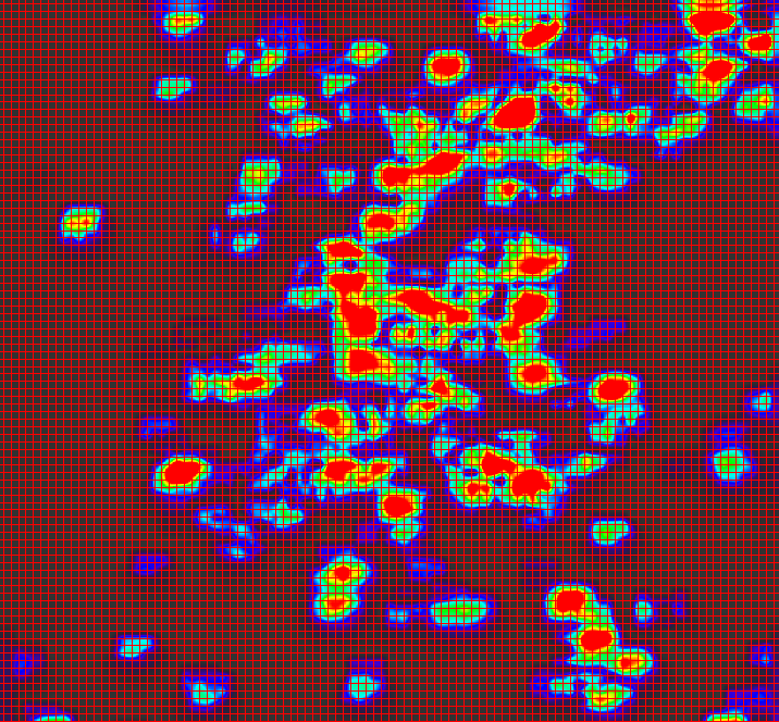
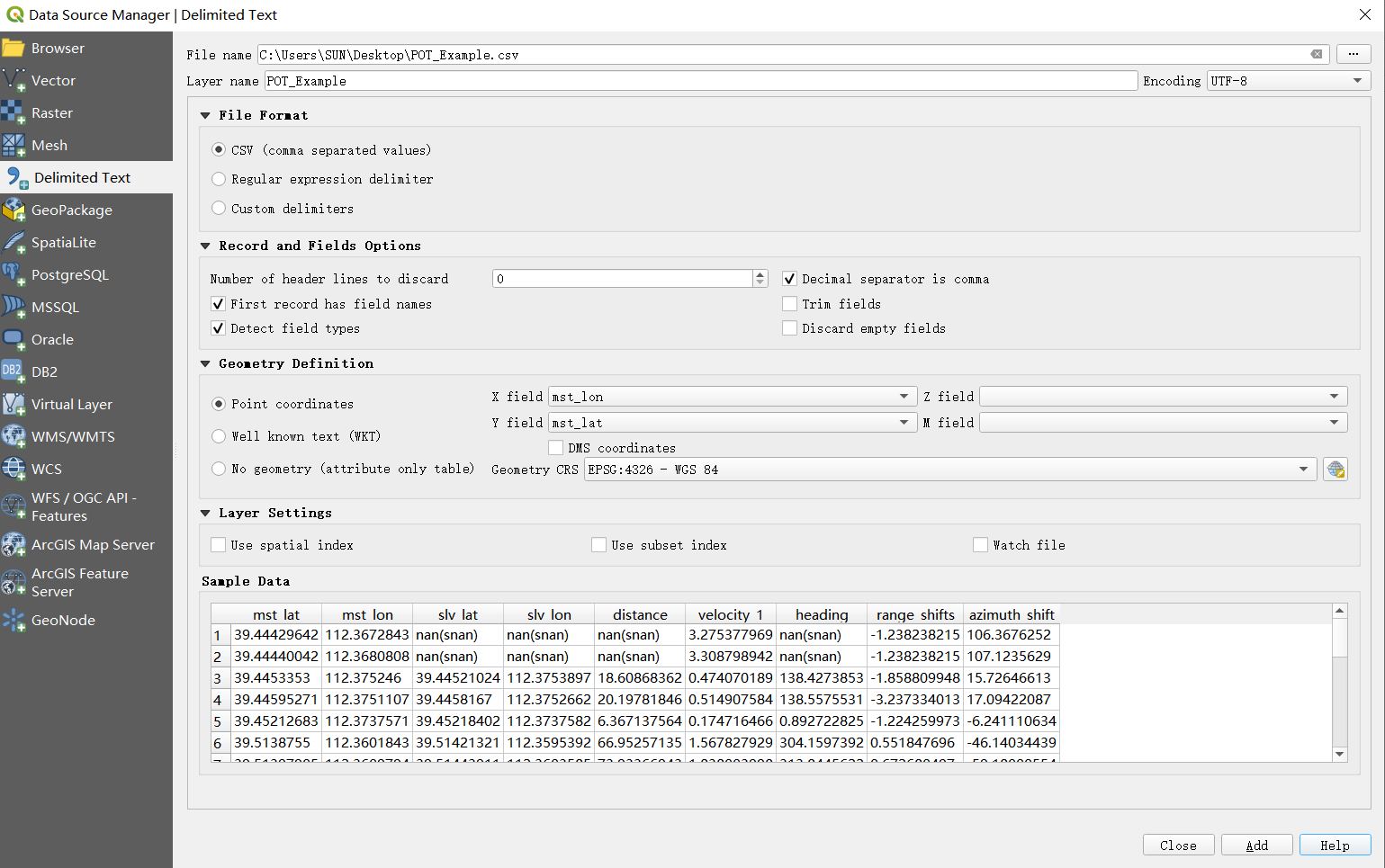
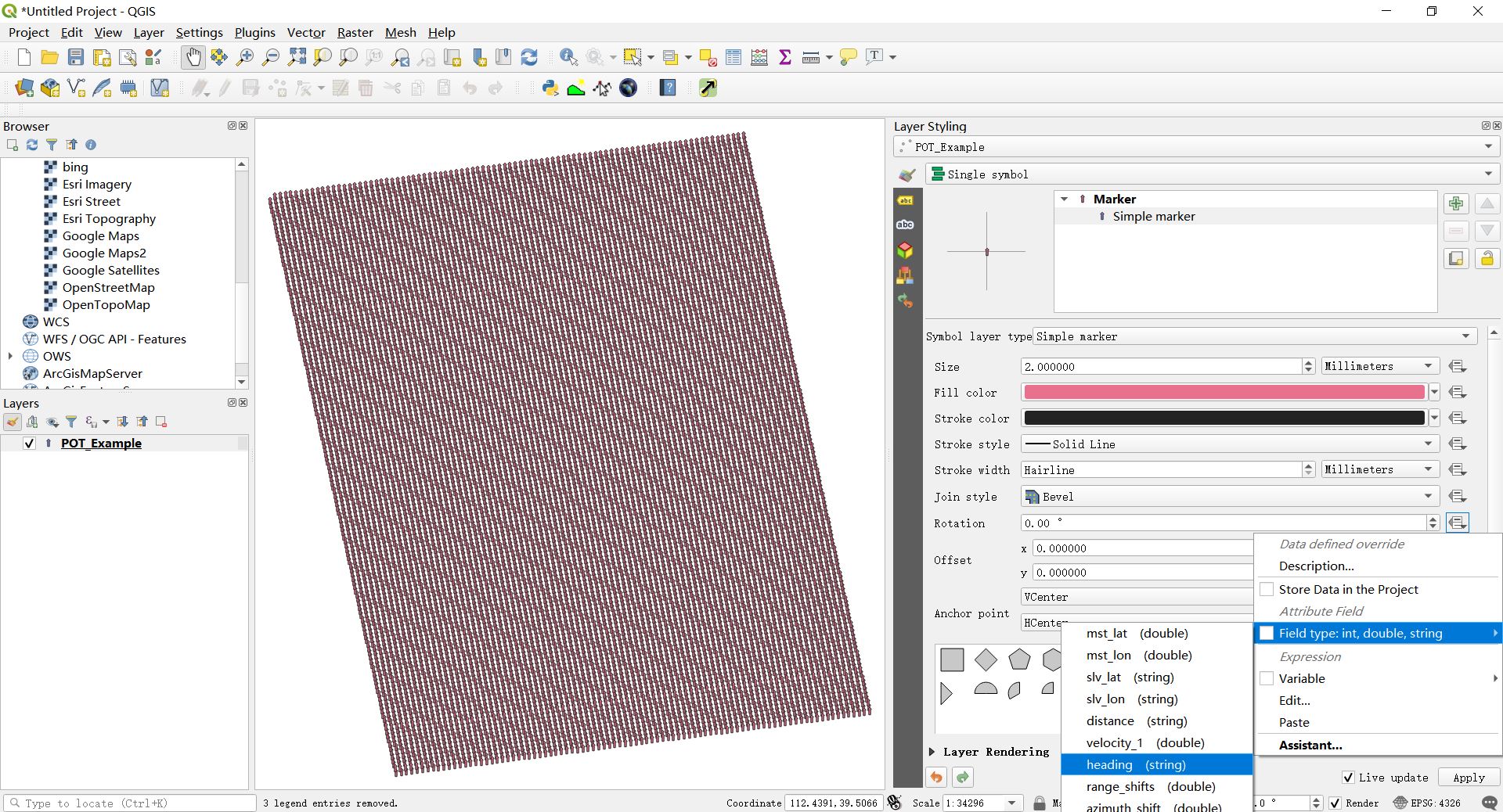
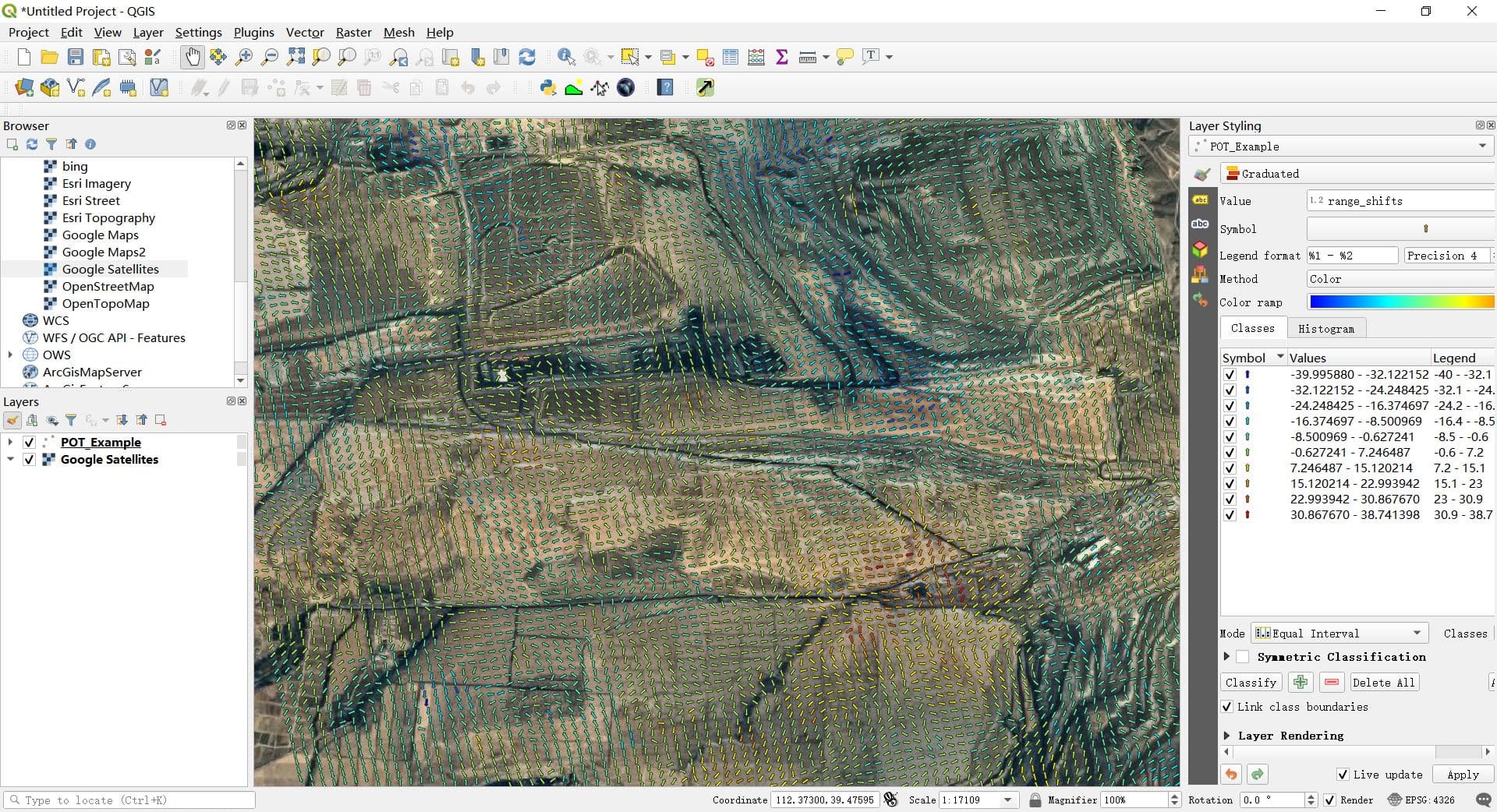
I used the two images to get the following picture. I have two questions here:
(1) Can the grid in the picture be deleted?
(2) Offset tracking operator mainly calculates the moving speed in which direction? (Azimuth or Range)