Greetings to all
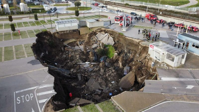
I have recently seen this news
and I want to ask if someone has done interferograms for these places or done some preliminary analysis using techniques like SBAS, PSI, QPSI or similar?
Can anyone process these images using the Tep geohazards platform?
A huge sinkhole, about 22000 square. Naples
And this one
Norway, mudslide and sinkhole
Edit:
I wonder about the programs that ESA has (for example Emergency Management Service - Mapping - Copernicus) that were created precisely to improve disaster risk management and to be able to foresee the occurrence of these events. In this case, were both events predictable?

