Hi all. I am working in SNAP 9.0.8. I am trying to run the DEM-assisted coregistration tool on two S1A images (based in southern Norway) that have undergone the following steps: apply orbit file, thermal noise removal, calibration and subset. I am using the Copernicus 30m DEM and leaving all other parameters as default. When I run the tool, I get blank or partially blank outputs. When I untick ‘mask out areas with no elevation’ in the DEM-assisted coregistration tool window, then the outputs show the images as expected. So, no elevation? I ran this process on the exact same images on an older version of SNAP (not sure which but was working in Summer 2021) and had no issues there so it seems something to do with the program being updated.
Can anyone help with this?
@djagula can you have a look?
Thanks
1 Like
Could you provide the names of the two S1A products and the location of the subset? Thank you
Sure. The two S1A products are:
S1A_IW_GRDH_1SDV_20180618T171103_20180618T171128_022414_026D64_FD90-ql
&
S1A_IW_GRDH_1SDV_20180630T171104_20180630T171129_022589_02727B_B20B-ql
The coordinates for the subset are: POLYGON ((7.071929169616855 61.61840609945913, 7.305192976268017 61.63863751940632,
7.262137785379828 61.75214743264152, 7.028024782460412 61.73188752522183,
7.071929169616855 61.61840609945913))
Thank you. You can ignore my other post ![]()
Thank you for your reply. With the information you provided, we can reproduce the problem. However, with the latest build of SNAP, we cannot reproduce the problem. We believe the problem has been fixed with the current SNAP code. If your SNAP is built from the source code, you can update your SNAP code and build it again. Otherwise the fix should be available in the next SNAP release. Thank you for pointing out the issue.
Hi, thank you for this. When will the next SNAP release be? I am not sure how to work with source code.
I don’t know the exact date. But it should be soon.
Hi, any update on this? It has been a few months now.
Do you have the issue with SNAP 10?
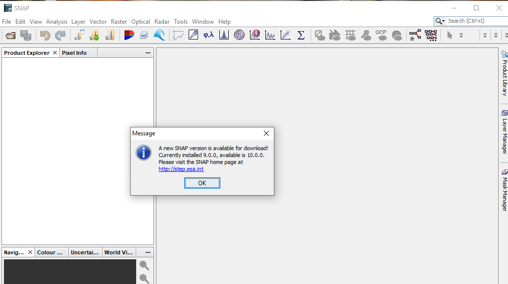
Is SNAP 10 available? There are no updates from within the programme (v. 9.0.8).
SNAP 10 is available and can be downloaded from SNAP Download – STEP
@diana_harosa Can we broadcast the SNAP 10 news to SNAP 9 users via the update center?
A SNAP 10 release notification was added to the update center upon the release of SNAP 10.

We’ve just fixed a version check issue and now, the popup informing the users about the release of a new SNAP version is displayed:
The release check interval can be set using the Other tab of the *Options windows *

The last check date is saved in the <USER_HOME>\.snap\etc\snap.properties file (snap.versionCheck.lastDate=2024-05-20T15\:08\:38.291).
1 Like