Hi guys, I’ve been working with NDVI (S2 L1C) processing for sugarcane in the latest 4 years in the same areas in Brazil. But from jan/2022 to march/2022 I’ve detected an opacity in the images, that never occurred before:
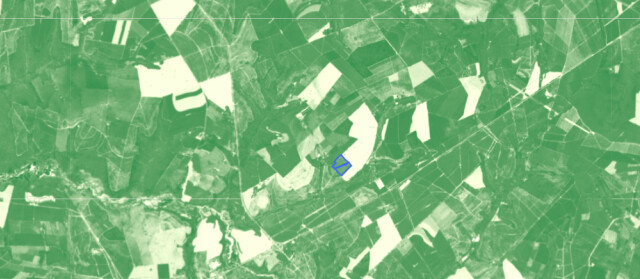
Jan 21 NDVI:
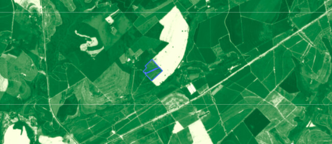
Feb 23 NDVI:
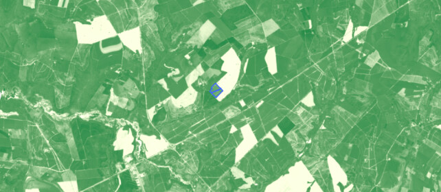
March 10 NDVI, same thing. (The forum did not alowed me to post 3 images, as I am a new user.)
First thing that I thought. That I used S2 L2 in the Jan 21 processing, but no, I did not. Then I observed the cloud, but there were no clouds at these dates in this location. So I cannot explain this issue.
The base data were collected from Sentinel Hub api in jp2 format. Same bands, same color scale.
Does anyone has some idea, why there is this opacity level on images after January 2022?
Best Regards,
Jose Damico