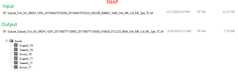
the difference is that SNAP writes a GeoTiff (*.tif) which stores information on the geocoding.
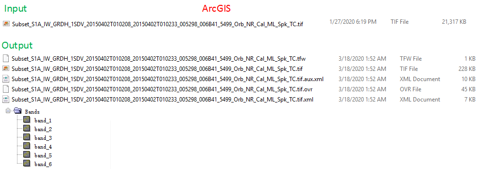
ArcMap writes a common Tiff file (also ending with *.tif) which stores the geocoding separately in the tfw file. The ovr file is created by ArcMap to allow faster image display while zooming and the xml files store the current color coding. This is explained in detail here: https://desktop.arcgis.com/en/arcmap/10.3/manage-data/raster-and-images/auxiliary-files.htm
So basically, the tif files contain the same raster information, but they are differently organized regarding their metadata.