Overlap two different S1 images

Hi everyone,
i’m trying to overlap two different (in terms of time) images of S-1 to identify avalanches. I have already done this before, but in the last few days, the process, that i followed, doesn’t work anymore.

i follow this simple pre-processing:

  • apply orbit file
    -speckle filtering
    -range dopller terrain correction
    -calibration

Until speckle filtering, i could use RGB to overlap before-avalche image and post-avalacheimage, but when i did a range dopller terrain, i couldn’t select the images in the window for creating RGB image.

any suggestions?

thanks a lot…

If your images are already terrain corrected and goecoded you can use Radar->Coregistration->Stac Tools->create stack
you need to select both of your images and in the “createStack” tab as initial offset method choose product geolocation.
You will create stack with all bands from both images and than you can create RGB

thanks for the answer, but i never used geocoded, and i don’t know what i have to do and what ‘geocoded’ does… can you help me?

thanks

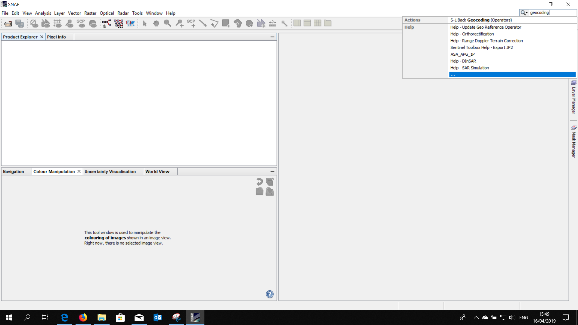
You could use the SNAP help to get the information you need, for example

In general, I found to you good tutorials in here,

In the help under Doppler Terrain Correction you have all the possible info.
In general as I said before you need to use Stack tool. If you have applied terrain correction before you need to use the initial offset method as " geolocation". In case you haven’t applied terrain correction before choose “orbits”.