Somehow, I select project UTM/WGS84 Automatic but
I get in geotif ‘WGS 84 / TMzn35N’
Anybody know why?
The data set is
S1A_IW_GRDH_1SDV_20151205T043333_20151205T043358_008902_00CBC1_1497
Somehow, I select project UTM/WGS84 Automatic but
I get in geotif ‘WGS 84 / TMzn35N’
Anybody know why?
The data set is
S1A_IW_GRDH_1SDV_20151205T043333_20151205T043358_008902_00CBC1_1497
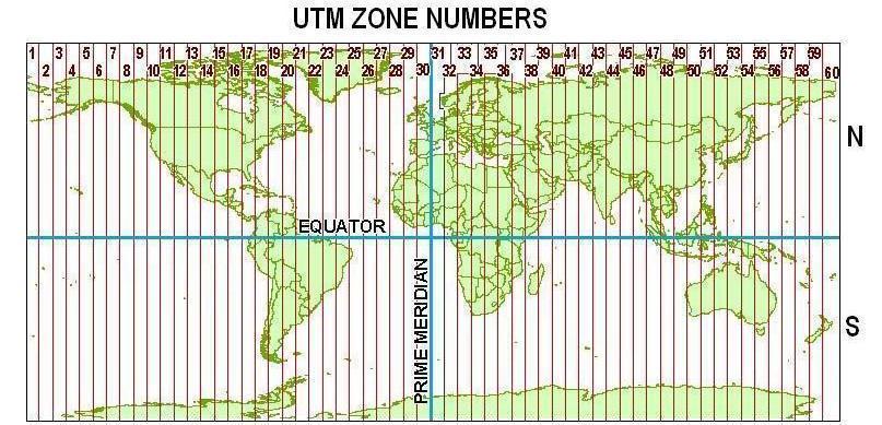
Automatic means SNAP takes the UTM zone in which your data is located as a reference system. The geoid however is WGS84.
Normal when I chose the UTM/WGS84 Automatic, the geotag will provide like this
GTCITATIONGEOKEY
STRING ‘WGS 84 / UTM zone 34N’
PROJECTEDCSTYPEGEOKEY
INT 32634
but this product above the geotag give me like this:
GTCITATIONGEOKEY
STRING ‘WGS 84 / TMzn35N’
PROJECTEDCSTYPEGEOKEY
INT 4037
I do not know why SNAP do by itself.