I used different combinations:
- S1A_IW_SLC__1SDV_20180904T143846_20180904T143912_023550_029096_5D58 and S1A_IW_SLC__1SDV_20180916T143846_20180916T143912_023725_029633_5AA5
- S1A_IW_SLC__1SDV_20190327T143844_20190327T143910_026525_02F8DC_066B and S1A_IW_SLC__1SDV_20190408T143844_20190408T143910_026700_02FF4D_9379
- S1A_IW_SLC__1SDV_20180916T143846_20180916T143912_023725_029633_5AA5 and S1A_IW_SLC__1SDV_20180928T143846_20180928T143912_023900_029BE2_BC4E
but the result was black screen. I found the same problem, but i don`t understand how to correct it.
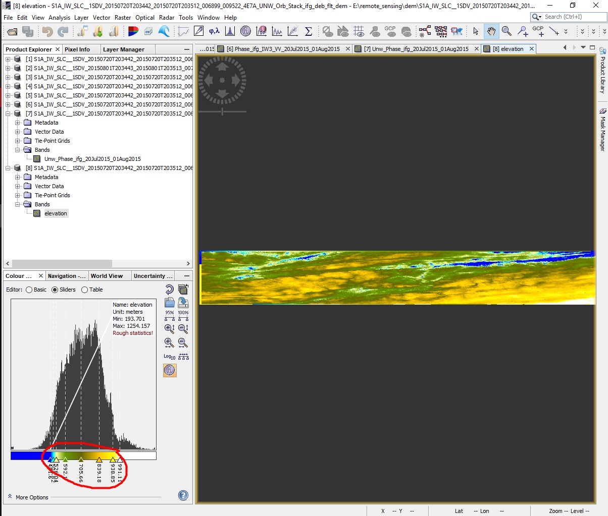
BUT I repeated all steps for products from Alaska tutorial and everything is OK (but the the elevation ranges doesn’t match reality, of cource).
How it works, I dont know…Why I can not create elevation for my region?