I created a DEM using S1A data.
The steps are below:
1 Open the Products
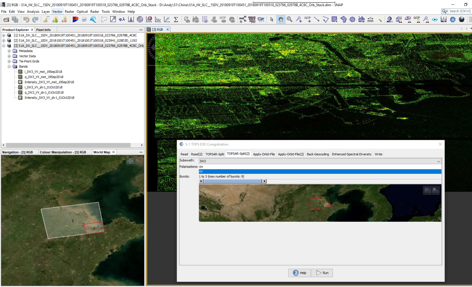
2 Coregister the images
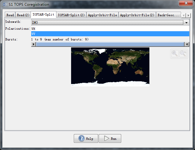
Radar-Coregistration-S1 TOPS Coregistration
The tab of Read is the Master Image and the tab of Read(2) is the Slave Image.
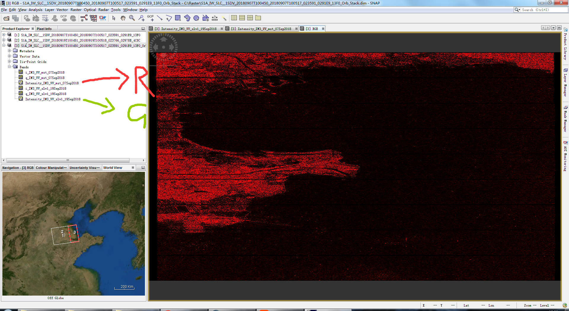
all my Polarisations are VV
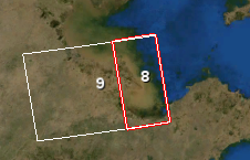
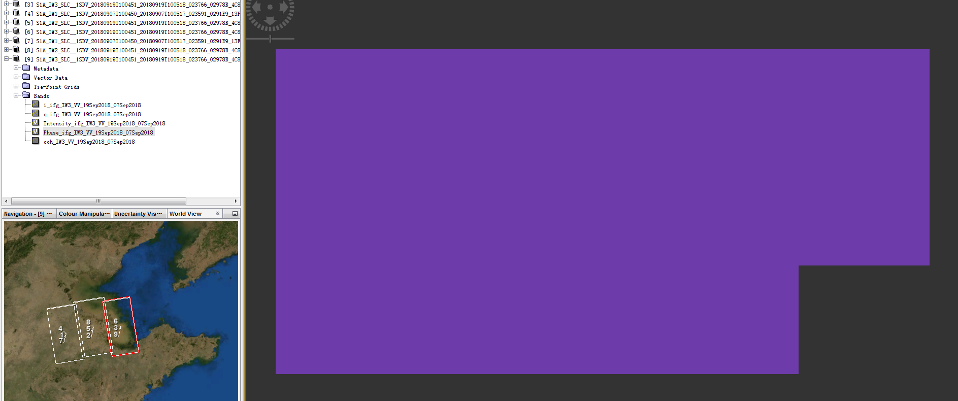
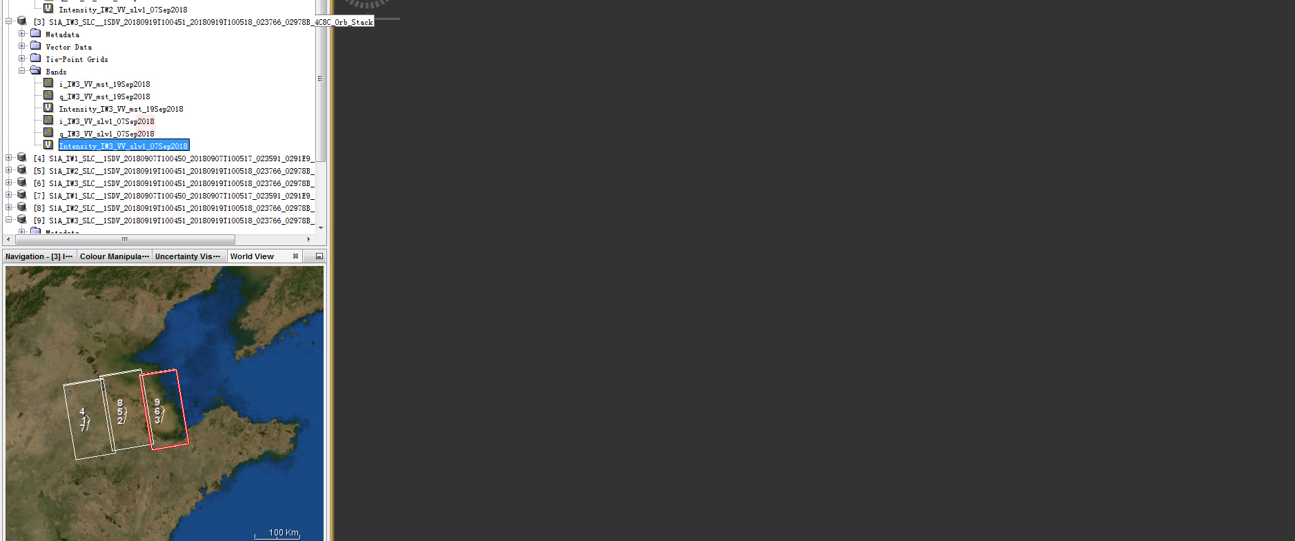
I am very confused as the orginal data is presented as 9: a lage rectangle
well after Coregistraton, the data is presented as 8: a rectangle much smaller
3 Form the Interferogram
4 TOPS Deburst
5 Phase Filtering
6 Export to SNAPHU
7 Unwrap Interferogram with SNAPHU
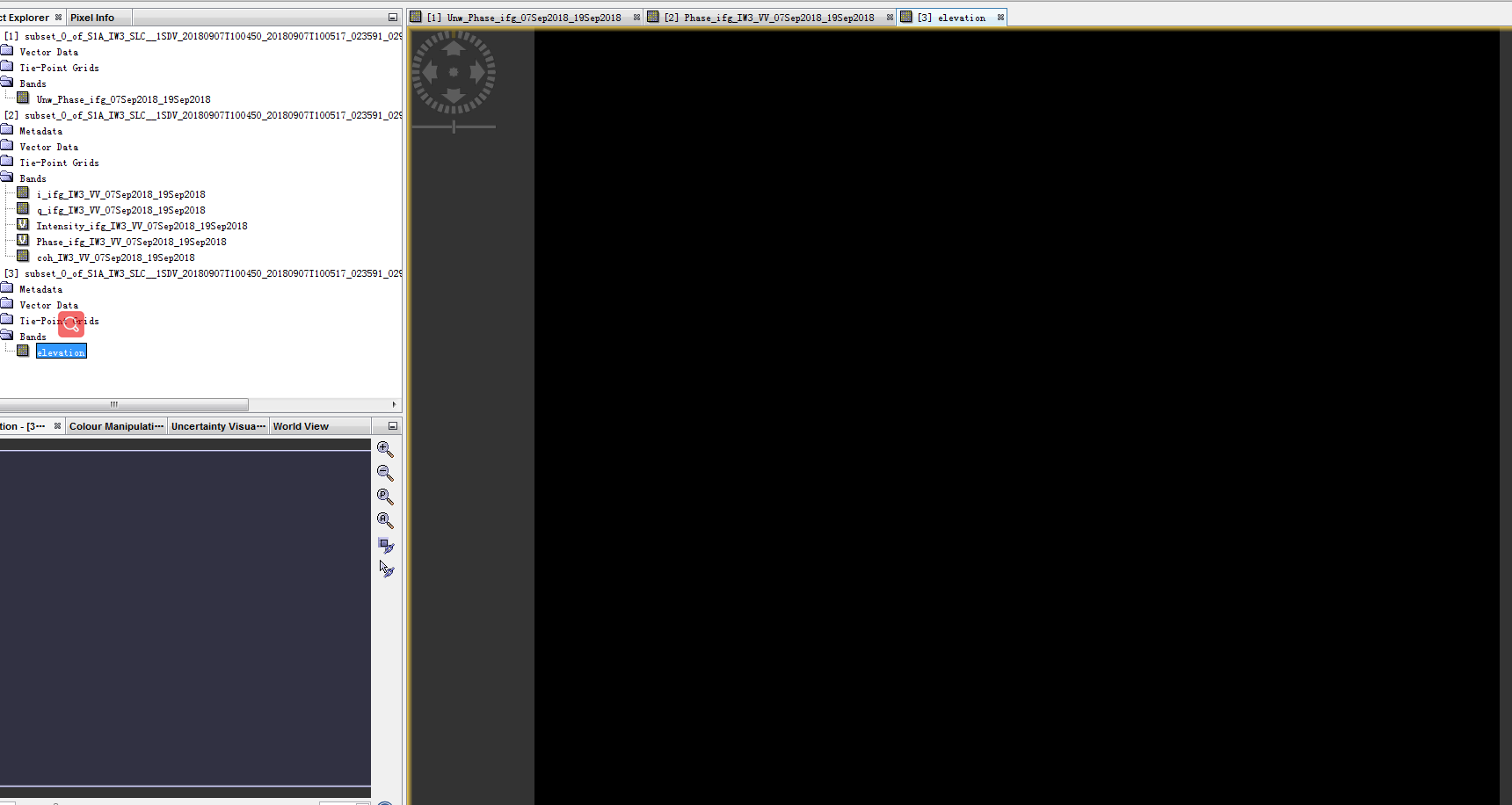
8 Open the files in S1TBX
9 Create the DEM -Convert Phase to Elevation
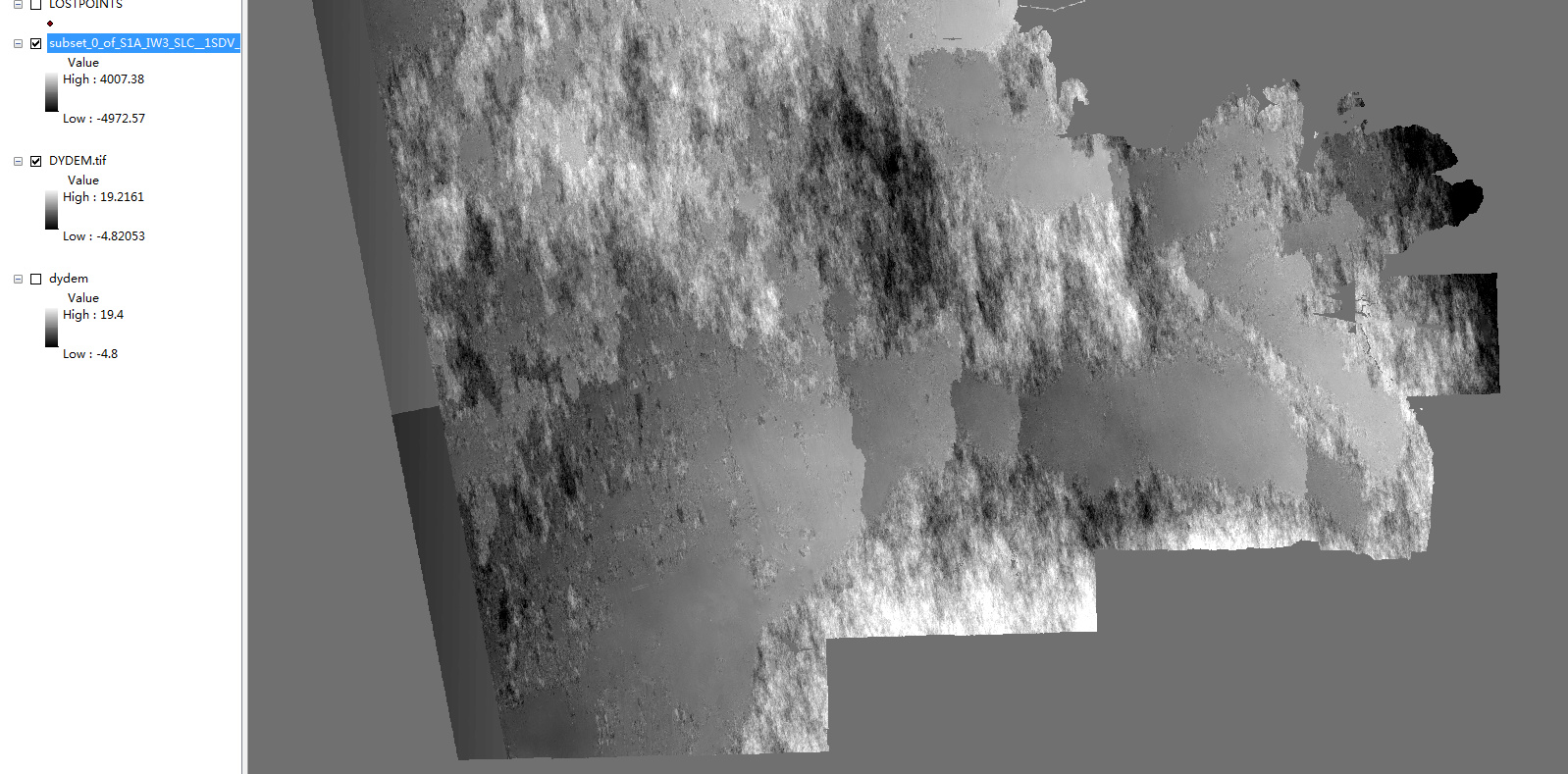
10 Geocode the DEM
well after all these steps, my result is:
TOPS Coregistration only supports the processing of single swaths. You selected IW3 in your screenshot (under ‘Subswath’).
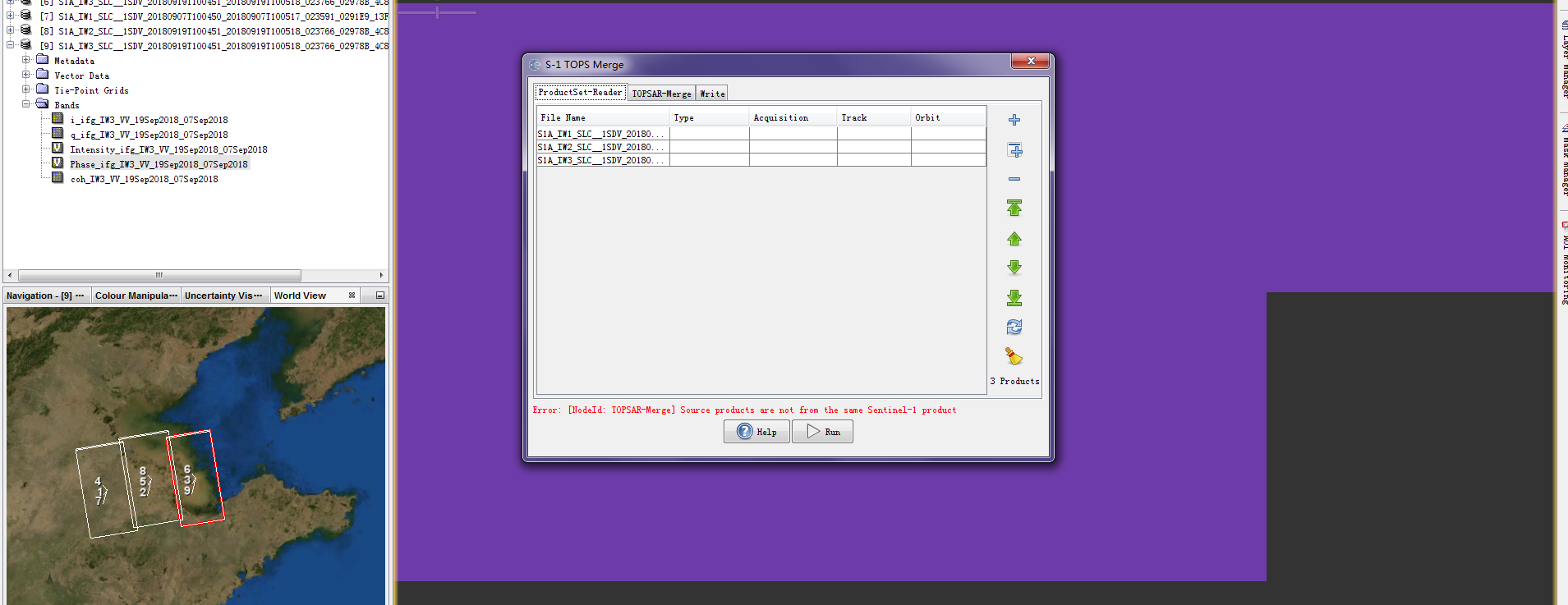
You have to repeat coregistration for all three subswaths and then use the TOPS Merge operator.
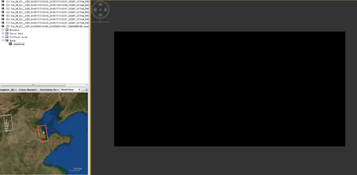
About the black output: Carefully check the result of every step after you processed it. Otherwise it is not possible to tell at which step your information was lost.
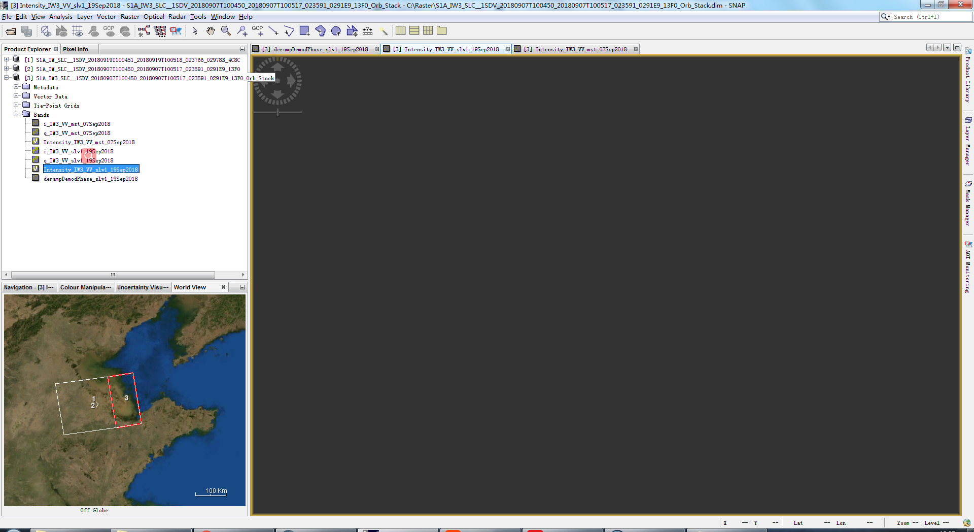
yes, after coregister, the slave image have nothing. Could you tell me what’s wrong with the slave image, I tried to do this on another computer, but it doesn’t work.
I tried many times, every time after my S1 TOPS Coregistration, the Intensity_IW_slv image presents black.
No matter how I replace SAR data, the result is slave image black.
S1A_IW_SLC__1SDV_20180907T100450_20180907T100517_023591_0291E9_13F0
S1A_IW_SLC__1SDV_20180919T100451_20180919T100518_023766_02978B_4C8C
S1A_IW_SLC__1SDV_20181001T100451_20181001T100518_023941_029D3D_1192
all these, when it use as master image is ok, but the slave image is always black.
I just solved the problem, I changed the Back-Geocoding DEM, I used my local DEM for Back-Geocoding. I think maybe my error is caused by the Great Firewall of China. Thank you very much!
The extreme values don’t matter. They result from unwrapping errors and atmospheric disturbances of the phase signal. Have a look at your coherence layer. It tells you where the quality of the DEM is trustful.
If there is vegetation in your area, it is unlikely that you will receive a perfect DEM from repeat-pass InSAR because of temporal decorrelation.