It is OK that phase to elevation uses a digital elevation model in reference height calculation but how we know which DEM is the best to use over our area of interest to do unwrapping?
We have many DEM to use here to convert phase to elevation with different resolutions and in different times.
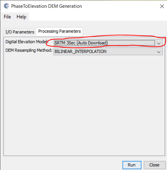
If we use Sentinel-1 over polar area to make DEM, then I have below options:
ACE30
Copernicus 30 m
Copernicus 90
Arctic DEM (which is not here)
GETASSE30
They have different resolutions and I do not know what criterias should the DEM have to be a good candidate for using in unwrapping? Its resolution should be near to my data? its time should be near to my data?
currently, the most precise is Copernicus DEM 30 - and it’s globally available. But the main determinant for the quality of your result is how well topography is represented in your interferogram.