Hi, its been a while and since SNAP updated to 5.0.0 i have tried to go through the INSAR work
ive done all the step and finished unwrapping, and imported to SNAP again
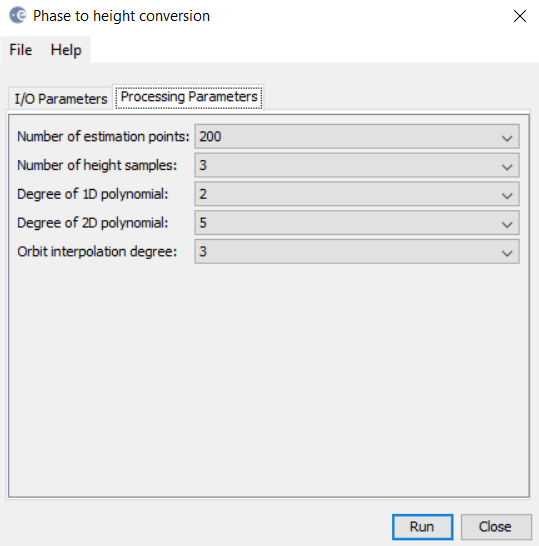
but when i tried the phase to height module, after pressing run, the processing window appears for a millisecond and disappears and seems to not to work
tried phase to elevation, and that processes no problem. i was wondering if there are others having same problem?
I had that error and when I do phase to elevation it gives me a null pointer exception. I have posted on the forum but not heard anything back yet.
mmm…dont have a clue but ill try with different PC and see if it processes
Did you have any luck with a different system?
Any luck with fixing this issue? I’m having the exact same problem.
I got the same problem. Any updates regarding this problem?
i have this problem too, now im looking to resolve it, maybe Mr. @ABraun can help 
Everyone has this problem. I’m waiting for SNAP’s update in hope that this issue will be solved.
I am not involved in the development, sorry. I hope this will be fixed in the official release of SNAP 6
ok, thnk you
otherwise, is there another way? here i do processing to analyze subsidence in Jakarta
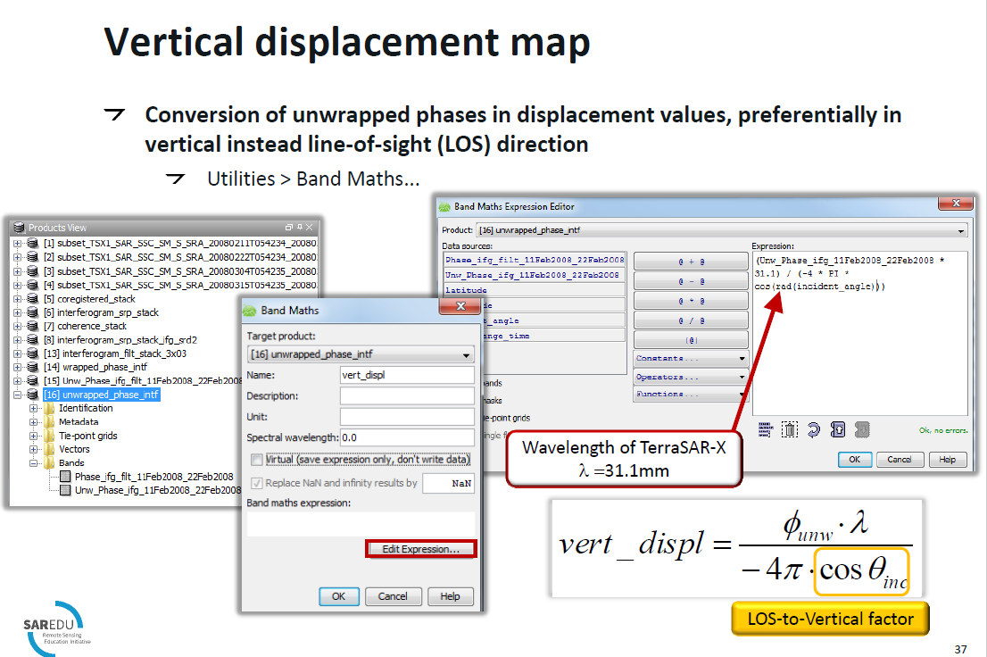
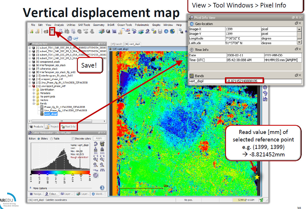
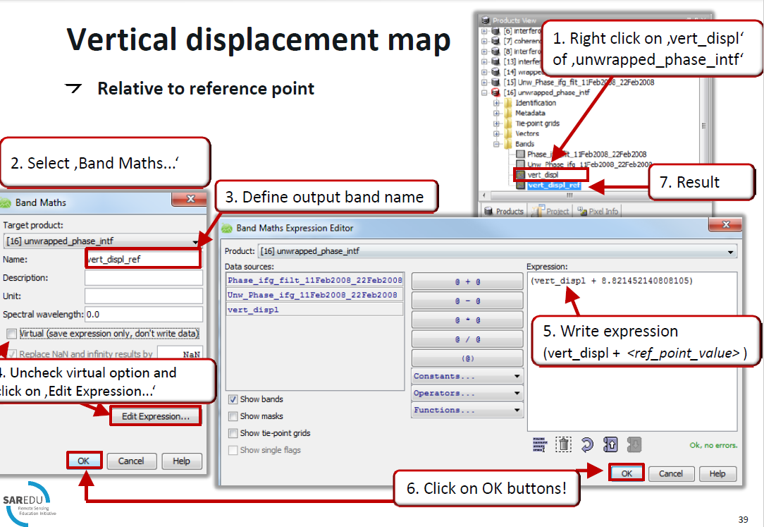
you can use the formula of this tutorial in band math:
https://eo-college.org/resources/insar_deformation/
We discussed it here: Subsidence map in 3d view
im sorry to ask again, suddenly i got confused. for to know subsidence area we should use phase to height or phase to displacement after unwrap and multilooking. maybe i was getting wrong understanding about this information. also what is the difference of those conversion phase suppose?
thank you so much
these all from the nest tutorial that u gave to me by link. in the NEST there’s a part about vertical displacement map–> does it mean conversion phase to displacement in SNAP?
on the other hand i found this
https://earth.esa.int/documents/507513/0/InSAR_Tutorial_ERS-Etna/41625d92-
93d0-41e4-8c7e-c96450d82fdb
and it said using phase to height.
so i got confused.
can u help me about this or anyone else?
thank you
the principles are the same. Both convert the units of the phase to absolute measures. The difference is the mathematics behind the two modules (phase to displacement and height)
Phase to height: https://www.tib.eu/en/search/id/BLCP%3ACN018515999/An-Algorithm-for-Precise-Reconstruction-of-InSAR/ and http://doris.tudelft.nl/usermanual/node135.html
Phase to displacement: Formula is given in the help section, corresponds to the manually applied formula demonstrated in the NEST tutorial.
If you have repeat-pass data and have removed the topographic phase before, you get the difference between both acquisitions.
I can see here that results from
Phase to elevation
And
phase to height
Is difference…
-
Would you please explain why?
Phase to elevation vs phase to height -
Also I head that people are using ground control points for converting phase to height but I cannot see any table to enter GCPs here
So how people enter them?
Two explanations are given (one above and one in the link you shared). Also, it both are explained in the SNAP help section, so maybe you can specify your question.
You can find the reference to Phase To Height here: A fast and efficient technique for SAR interferogram geocoding

Manually entering heights for selected points is not possible in SNAP.