SNAP Feedback
STEP Forum
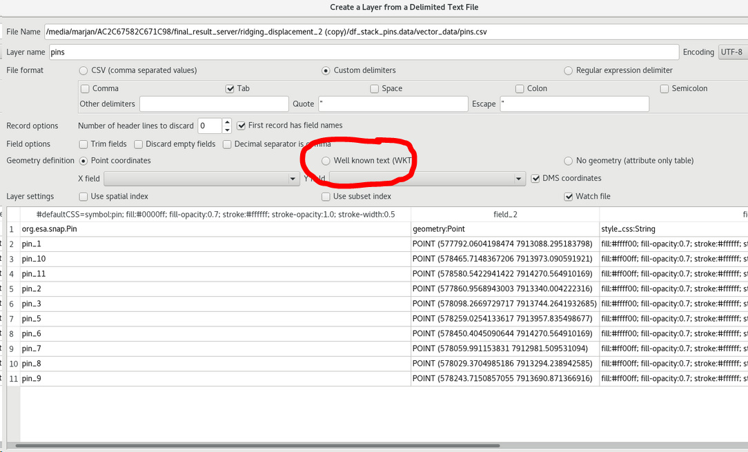
Pins in QGIS
Microwave Toolbox
ABraun
February 14, 2019, 5:03pm
9
change it to WKT (Well Known Text) insted of “Point Coordinates”
grafik.jpg
1084×655 184 KB
show post in topic